Gering in Scotts Bluff County, Nebraska — The American Midwest (Upper Plains)
The Platte River Road
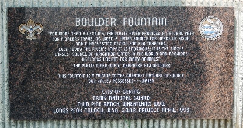
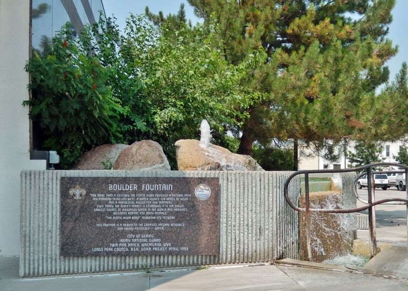
Boulder Fountain
for pioneers traveling West, a water source for herds of bison
and a harvesting region for fur trappers.
Even today, the river’s impact is enormous; it is the single
largest source of irrigation water in the world and provides
wetlands habitat for many animals.”
”The Platte River Road” Nebraska ETV Network
This fountain is a tribute to the greatest natural resource
our valley possesses — water.
City of Gering
Army National Guard
Twin Pine Ranch, Wheatland, Wyo.
Longs Peak Council, B.S.A., S.O.A.R. Project, April, 1993
Topics. This historical marker is listed in these topic lists: Agriculture • Animals • Settlements & Settlers • Waterways & Vessels.
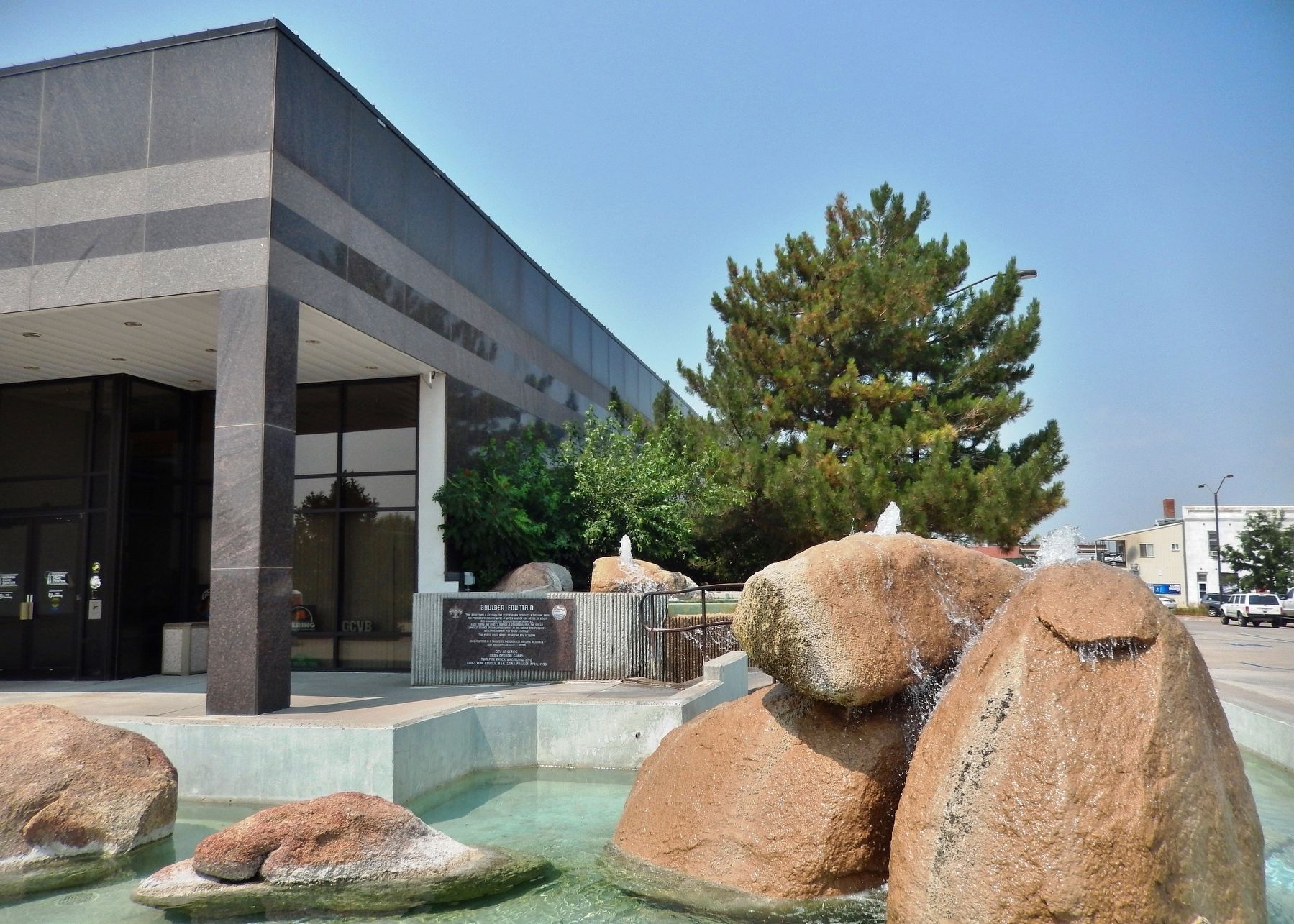
Location. 41° 49.323′ N, 103° 39.666′ W. Marker is in Gering, Nebraska, in Scotts Bluff County. Marker can be reached from M Street just west of 10th Street, on the right when traveling west. Marker and fountain are located at the southeast corner of the Gering Civic Center. Touch for map. Marker is at or near this postal address: 1050 M Street, Gering NE 69341, United States of America. Touch for directions.
Other nearby markers. At least 8 other markers are within 3 miles of this marker, measured as the crow flies. Replica of the Statue of Liberty (approx. 0.6 miles away); Portal to the West (approx. 1.7 miles away); A Sea of Grass (approx. 2 miles away); The Many Faces of the Trail (approx. 2.2 miles away); Before the Wagons (approx. 2.2 miles away); A Landscape Changed Forever (approx. 2.2 miles away); Remnant Highlands (approx. 2.2 miles away); Saddle Rock Trail (approx. 2.2 miles away). Touch for a list and map of all markers in Gering.
Also see . . .
1. Platte River Road.
The Platte River has been described in folklore as "a mile wide and an inch deep." The navigability of the Platte was continually discussed until railroads rendered much of the river traffic obsolete. There were attempts to use the river as a means of transporting cargoes, but the shallowness and the Platte’s many channels were to thwart and madden those who attempted to navigate her. Hiram M. Chittenden, a Corps of Engineers officer and historian of both the fur trade and navigation on the Missouri River, concluded that only one in ten Platte voyages in the twelve year span from 1835 to 1846 was successful.(Submitted on January 31, 2022, by Cosmos Mariner of Cape Canaveral, Florida.)
2. Great Platte River Road
.
The Great Platte River Road was a major overland travel corridor approximately following the course of the Platte River in present-day Nebraska and Wyoming that was shared by several popular emigrant trails during the 19th century, including the Trapper's Trail, the Oregon Trail, the Mormon Trail, the California Trail, the Pony Express route, and the military road connecting Fort Leavenworth and Fort Laramie. The road, which extended nearly 800 miles from the Second Fort Kearny to Fort Laramie, was utilized primarily from 1841 to 1866.(Submitted on January 31, 2022, by Cosmos Mariner of Cape Canaveral, Florida.)
Credits. This page was last revised on January 31, 2022. It was originally submitted on January 31, 2022, by Cosmos Mariner of Cape Canaveral, Florida. This page has been viewed 101 times since then and 10 times this year. Photos: 1, 2, 3. submitted on January 31, 2022, by Cosmos Mariner of Cape Canaveral, Florida.


