Waterside Promenade in Norfolk, Virginia — The American South (Mid-Atlantic)
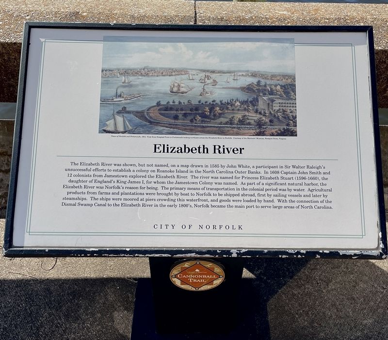
Elizabeth River
The Cannonball Trail
Photographed by Brandon D Cross, January 19, 2022
1. Elizabeth River Marker
(caption)
Views of Norfolk and Portsmouth, 1851. View from Hospital Point in Portsmouth looking northeast across the Elizabeth River to Norfolk: Courtesy of the Mariners’ Museum, Newport News,Virginia
Erected by City
this page online
Topics. This historical marker is listed in these topic lists: Colonial Era • Exploration • Settlements & Settlers • Waterways & Vessels. A significant historical year for this entry is 1608.
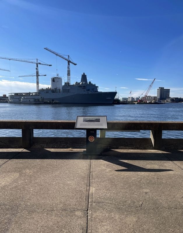
Location. 36° 50.6′ N, 76° 17.397′ W. Marker is in Norfolk, Virginia. It is in Waterside Promenade. It can be reached from the intersection of Waterside Drive (Virginia Route 337) and East Water Street, on the right when traveling east. Marker located between the Sheraton Norfolk Waterside Hotel (north) and the Dominion Tower (south) close to River bulkhead. Touch for map. Marker is at or near this postal address: 777 Waterside Drive, Norfolk VA 23510, United States of America. Touch for directions.

Regionally, this marker is in Virginia’s Hampton Roads, specifically in Coastal Virginia, and in the Hampton Roads Metropolitan Area. It is also in the American South, specifically in the Upper South, in the Tidewater, and on the Eastern Seaboard. Globally, it is in the North Atlantic Region, North America, the Western Hemisphere, the Western World, and the Anglosphere. Historically, it finds itself in what
Photographed by Brandon D Cross, January 19, 2022
2. Elizabeth River Marker
Other nearby markers. At least 8 other markers are within walking distance of this marker: The Cannonball Trail (about 300 feet away, measured in a direct line); Ferries to Portsmouth and Berkley (about 300 feet away); The Bombardment of Norfolk, 1776 (about 500 feet away); The Underground Railroad (approx. 0.2 miles away); Commercial Place (approx. 0.2 miles away); Lafayette's Tour (approx. 0.2 miles away); Main Street (approx. 0.2 miles away); Norfolk 1682 (approx. 0.2 miles away). Touch for a list and map of all markers in Norfolk.
Credits. This page was last revised on October 26, 2023. It was originally submitted on February 2, 2022, by Brandon D Cross of Flagler Beach, Florida. This page has been viewed 310 times since then and 24 times this year. Photos: 1, 2. submitted on February 2, 2022, by Brandon D Cross of Flagler Beach, Florida. • Bernard Fisher was the editor who published this page.
