Waskish in Beltrami County, Minnesota — The American Midwest (Upper Plains)
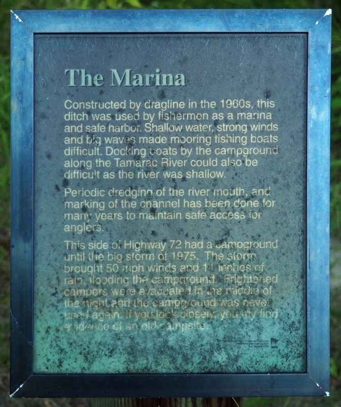
The Marina
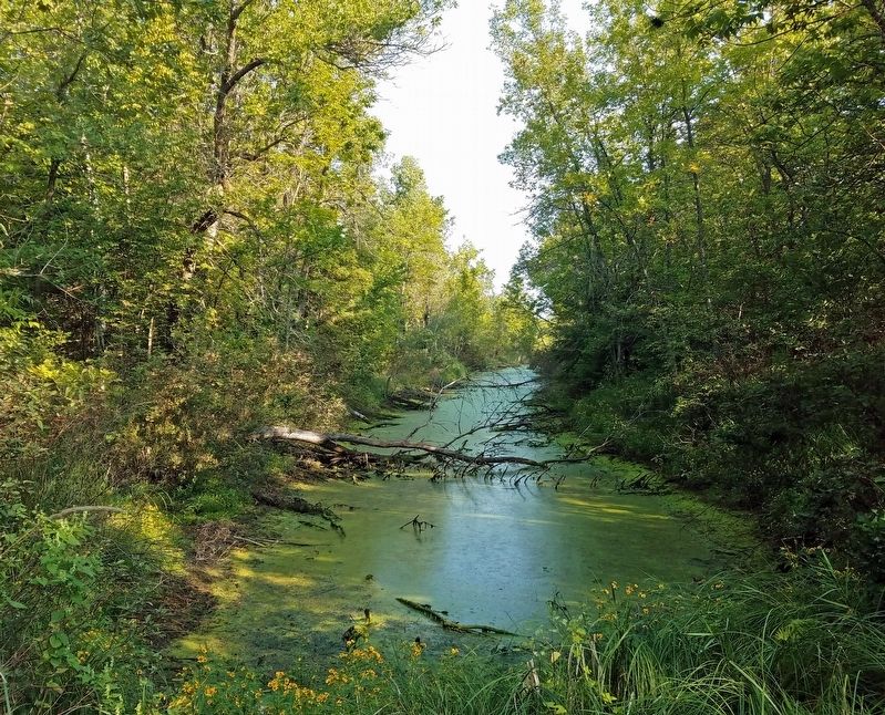
Constructed by dragline in the 1960s, this ditch was used by fishermen as a marina and safe harbor. Shallow water, strong winds and big waves made mooring fishing boats difficult. Docking boats by the campground along the Tamarac River could also be difficult as the river was shallow.
Periodic dredging of the river mouth, and marking of the channel has been done for many years to maintain safe access for anglers.
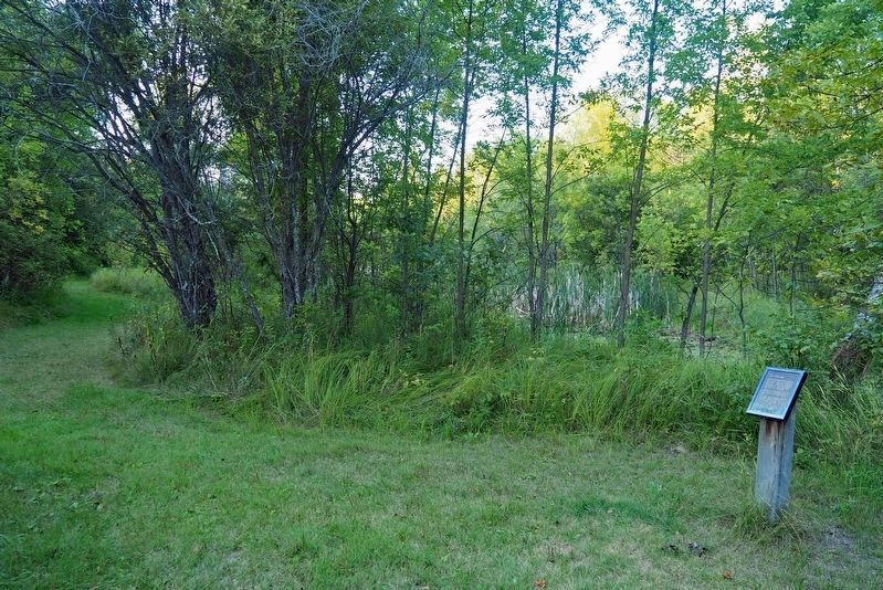
This side of Highway 72 had a campground until the big storm of 1975. The storm brought 50 mph winds and 11 inches of rain, flooding the campground. Frightened campers were evacuated in the middle of the night and the campground was never used again. If you look closely, you may find evidence of an old campsite.
Erected by Minnesota Department of Natural Resources.
Topics. This historical marker is listed in these topic lists: Disasters • Parks & Recreational Areas • Waterways & Vessels. A significant historical year for this entry is 1960.
Location. 48° 10.33′ N, 94° 30.862′ W. Marker is in Waskish, Minnesota, in Beltrami County. Marker can be reached from State Highway 72, on the left when traveling north. The marker is in the southern unit of Big Bog State Recreation Area (fee area) on the Old Marina Trail. Touch for map. Marker is in this post office area: Waskish MN 56685, United States of America. Touch for directions.
Other nearby markers. At least 7 other markers are within 10 miles of this marker, measured as the crow flies. Where There is Smoke / Forests of the Agassiz Lowlands (approx. 0.2 miles away); The Old Waskish Town Site (approx. ¼ mile away); Harry Davidson (approx. ¼ mile away); Ludlow Island History (approx. 8.3 miles away); The Big Bog's Caribou Band (approx. 8.6 miles away); The Bog That Couldn't Be Tamed (approx. 8.8 miles away); The Patterned Peatland: Rare and Valuable (approx. 9.1 miles away).
Additional keywords. Upper Red Lake
Credits. This page was last revised on February 5, 2022. It was originally submitted on February 4, 2022, by McGhiever of Minneapolis, Minnesota. This page has been viewed 105 times since then and 10 times this year. Photos: 1, 2, 3. submitted on February 4, 2022, by McGhiever of Minneapolis, Minnesota. • J. Makali Bruton was the editor who published this page.


