William Penn Annex West in Philadelphia in Philadelphia County, Pennsylvania — The American Northeast (Mid-Atlantic)
The Plan for Philadelphia
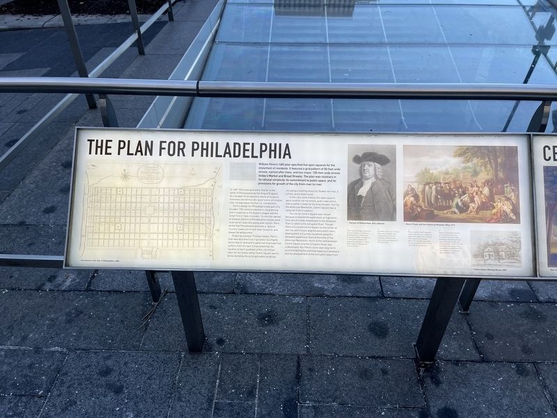
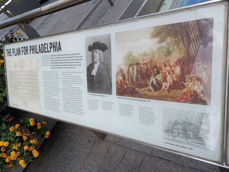
William Penn's 1683 plan specified five open squares for the enjoyment of residents. It featured a grid pattern of 50-foot-wide streets, named after trees, and two major, 100-foot-wide streets (today's Market and Broad Streets). The plan was visionary in its rational simplicity, its commitment to public space, and its provisions for growth of the city from river to river.
In 1681, Penn was granted a charter to the lands of Pennsylvania by the King of England. As a Quaker, he proposed a colony of religious tolerance and democratic governance, principles later incorporated into the U.S. Constitution.
Penn's design for Philadelphia was part of a broader 17th-century interest in city planning and a response to the bubonic plaque and the Great Fire of 1666 in London. To limit the spread of disease and fire in Philadelphia, houses were to be set on large lots along wide streets. Penn wrote that Philadelphia would be a "greene Country Towne which will never be burnt, and always be wholesome."
Drawn by surveyor Thomas Holme, Penn's plan was also practical in purpose: to simplify ownership of land and to advertise to
this page online
In the city's early history, the open squares were used for racing horses, public executions, and as potter's fields for burying the poor. During the American Revolution, Centre Square was a camp for French soldiers.
The site for Centre Square was chosen because it marked the watershed, or high point, from which creeks flowed east to the Delaware River or west to the Schuylkill River. Though Penn envisioned Centre Square as the center of the city, with houses aligned along both rivers, development in his time clustered along the Delaware waterfront. Even at the time of the American Revolution, much of the land between Centre Square and the Schuylkill River was undeveloped. But Penn's vision was long-term, accommodating the eventual expansion westward and the development of the Schuylkill waterfront.
[Captions:]
1. Penn used this map, created by Thomas Holme, to advertise Philadelphia to prospective European settlers. In addition to five public squares, the large plots appealed to those who could not afford such land in Europe.
2. Founder of the city, William Penn was a Quaker who envisioned a colony of religious tolerance and democratic governance in Philadelphia.
3. Penn is said to have signed a treaty with the Leni Lenape in 1683 near today's Penn Treaty Park along the Delaware River. He was distinguished for his peaceful relations with local Native Americans.
4. Penn envisioned a square at the center of the city for public and municipal buildings. A meeting house was built here in 1685, but the population of the city was clustered over a mile away along the Delaware River. It was seldom used and was dismantled in 1702.
Topics and series.
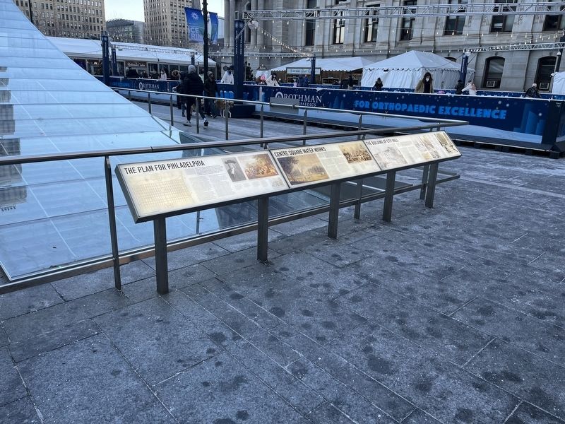
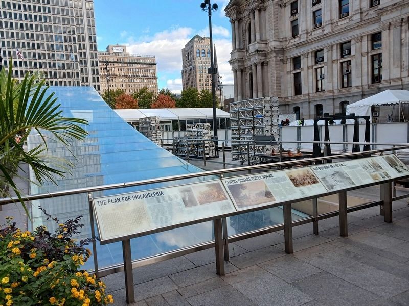
Location. 39° 57.156′ N, 75° 9.891′ W. Marker is in Philadelphia, Pennsylvania, in Philadelphia County. It is in William Penn Annex West. It is at the intersection of North 15th Street (Pennsylvania Route 611) and Market Street ( Route 3), on the left when traveling south on North 15th Street. Touch for map. Marker is in this post office area: Philadelphia PA 19107, United States of America. Touch for directions.

Regionally, this marker is in Southeast Pennsylvania. It is also in the American Northeast and in the Mid-Atlantic. Globally, it is in North America, the Western Hemisphere, the Western World, and the Anglosphere. Historically, it finds itself in what was once the Haudenosaunee (Iroquois) Confederacy, New Netherland, and one of the original Thirteen Colonies.
Other nearby markers. At least 8 other markers are within walking distance
Photographed by Jc, October 19, 2022
3. The Plan for Philadelphia Marker, October 2022
Photographed by Jc, October 19, 2022
4. The Plan for Philadelphia Marker, October 2022
Credits. This page was last revised on August 6, 2026. It was originally submitted on February 9, 2022, by Devry Becker Jones of Washington, District of Columbia. This page has been viewed 428 times since then and 71 times this year. Photos: 1, 2. submitted on February 9, 2022, by Devry Becker Jones of Washington, District of Columbia. 3, 4. submitted on August 5, 2026, by Jc of Philadelphia, Usa.
