Rittenhouse Square in Philadelphia in Philadelphia County, Pennsylvania — The American Northeast (Mid-Atlantic)
19th & Walnut
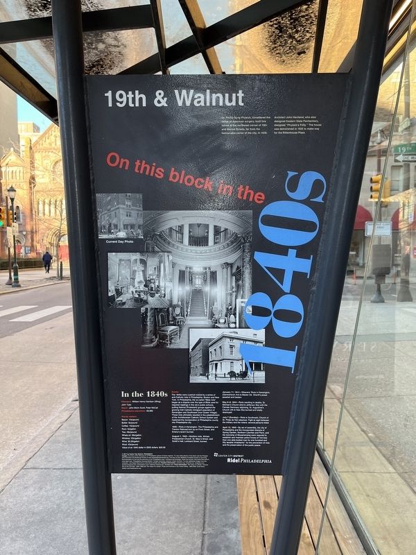
On this block in the 1840s
Dr. Phillip Syng Physick, considered the father of American surgery built this house at the northwest corner of 19th and Walnut Streets, far from the fashionable center of the city, in 1839.
Architect John Haviland, who also designed Eastern State Penitentiary, designed "Physick's Folly." The house was demolished in 1925 to make way for the Rittenhouse Plaza.
In the 1840s
President: William Henry Harrison (Whig), John Tyler
Mayor: John Morin Scott, Peter McCall
Philadelphia population: 93,665
Money matters
Bacon: 10˘/pound
Butter: 6˘/pound
Coffee: 10˘/pound
Rum: 3˘/gallon
Tea: 49˘/pound
Whale oil: 39˘/gallon
Whiskey: $2.25/gallon
Wine: $2.25/gallon
Wool: 43˘/pound
Value of an 1840 dollar in 2002 dollars: $20.00
Events
The 1840s were a period rocked by a series of anti-Catholic riots in Philadelphia, Boston and New York. In Philadelphia, the so-called "Bible riots" began as a dispute over the type of the Bible used for required readings in the city's public schools, putting Nativist (Protestant) groups against the growing Irish Catholic immigrant population of Kensington and Southwark (now Queen Village). These riots ultimately resulted in the establishment of the Archdiocesan Catholic School System and hastened the incorporation of Philadelphia county into Philadelphia city.
1840—Riots in Kensington. The Philadelphia and Trenton Railroad torn up on Front Street and Emery's tavern burned.
August 1, 1842—Abolition riots. African Presbyterian Church, St. Mary's Street, and Smith's Hall, Lombard Street, burned.
January 11, 1843—Weaver's Riots in Kensington, (Germantown Ave. & Master St). Sheriff's posse assailed and beaten.
May 6-8, 1844—Riots resulting in deaths. St. Michael's Church (2nd & Jefferson Sts) with the Female Seminary adjoining, St. Augustine's Church (4th & New Sts) burned and totally destroyed.
July 7 (Sunday)—Riots in Southwark; Church of St. Philip de Neri attacked. Fight at night between the military and the rioters; several persons killed.
April 12, 1845—By act of assembly, the city of Philadelphia and the incorporated districts of Spring Garden, Northern Liberties and Penn, and the township of Moyamensing were required to establish and maintain police forces of "not less than one able-bodied man for one hundred and fifty taxable inhabitants"; for the prevention of riots and the preservation of the public peace.
Erected 2017 by Center City District, Philadelphia.
Topics and series. This historical marker is listed in these topic
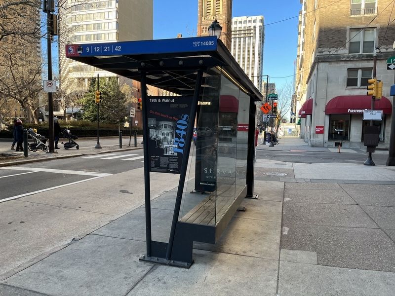
Location. 39° 57.023′ N, 75° 10.324′ W. Marker is in Philadelphia, Pennsylvania, in Philadelphia County. It is in Rittenhouse Square. Marker is at the intersection of Walnut Street and South 19th Street, on the right when traveling west on Walnut Street. Touch for map. Marker is at or near this postal address: 19 S 19th St, Philadelphia PA 19103, United States of America. Touch for directions.
Other nearby markers. At least 8 other markers are within walking distance of this marker. Rittenhouse Square (about 300 feet away, measured in a direct line); The Alexander Building (about 400 feet away); J. William White (about 400 feet away); 20th & Walnut (about 400 feet away); 18th & Walnut (about 500 feet away); 19th & Chestnut (about 500 feet away); Alfred J. Reach (about 500 feet away); a different marker also named 19th & Chestnut (about 500 feet away). Touch for a list and map of all markers in Philadelphia.
Additional keywords. Anti-Catholic riots
Credits. This page was last revised on February 2, 2024. It was originally submitted on February 11, 2022, by Devry Becker Jones of Washington, District of Columbia. This page has been viewed 250 times since then and 73 times this year. Photos: 1, 2. submitted on February 11, 2022, by Devry Becker Jones of Washington, District of Columbia.

