Williamsport in Lycoming County, Pennsylvania — The American Northeast (Mid-Atlantic)
Traveling Through a Rugged Region
The Timber Trail
— Susquehanna Riverwalk —
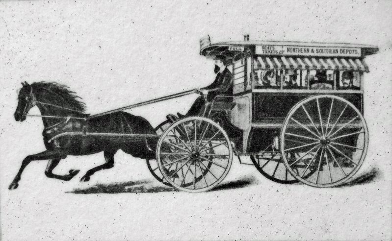
For thousands of years, Native Americans traversed this region in dugout canoes and over a far-reaching network of footpaths. White settlers followed and expanded these woodland paths. Until the late 1800s, rivers reigned as the region's transportation highways. Lumbermen floated millions of logs to mills and markets on the West Branch of the Susquehanna. During the mid-1800s, the West Branch Canal moved people and goods up and downriver.
Heyday of the Railroad Era
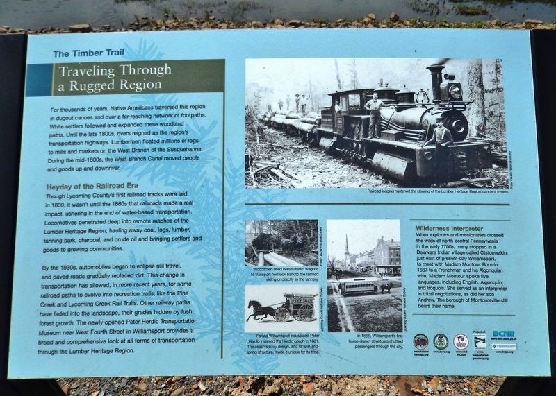
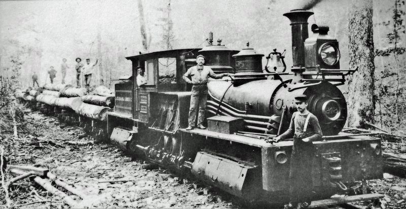
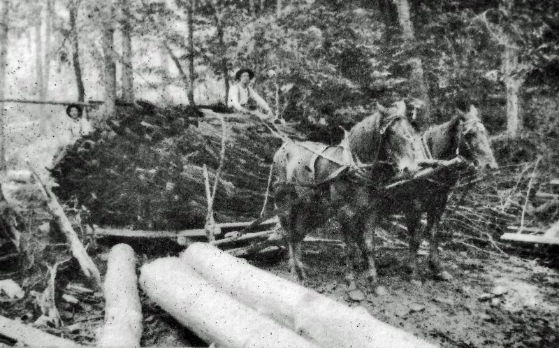
Though Lycoming County's first railroad tracks were laid in 1839, it wasn't until the 1860s that railroads made a real impact, ushering in the end of water-based transportation. Locomotives penetrated deep into remote reaches of the Lumber Heritage Region, hauling away coal, logs, lumber, tanning bark, charcoal, and crude oil and bringing settlers and goods to growing communities.
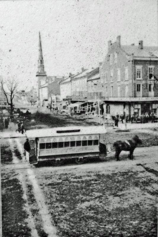
By the 1930s, automobiles began to eclipse rail travel, and paved roads gradually replaced dirt. This change in transportation has allowed, in more recent years, for some railroad paths to evolve into recreation trails, like the Pine Creek and Lycoming Creek Rail Trails. Other railway paths have faded into the landscape, their grades hidden by lush forest growth. The newly opened Peter Herdic Transportation Museum near West Fourth Street in Williamsport provides a broad and comprehensive look at all forms of transportation through the Lumber Heritage Region.
Wilderness Interpreter
When explorers and missionaries crossed the wilds of north-central Pennsylvania in the early 1700s, many stopped in a Delaware Indian village called Otstonwakin, just east of present-day Williamsport, to meet with Madam Montour. Born in 1667 to a Frenchman and his Algonquian wife, Madam Montour spoke five languages, including English, Algonquin, and Iroquois. She served as an interpreter in tribal negotiations, as did her son Andrew. The borough of Montoursville still bears their name.
Erected by Lumber Heritage Region of Pennsylvania, Inc., and Pennsylvania Department of Conservation & Natural Resources.
Topics. This historical marker is listed in these topic lists: Native Americans • Railroads & Streetcars • Settlements & Settlers • Waterways & Vessels. A significant historical year for this entry is 1839.
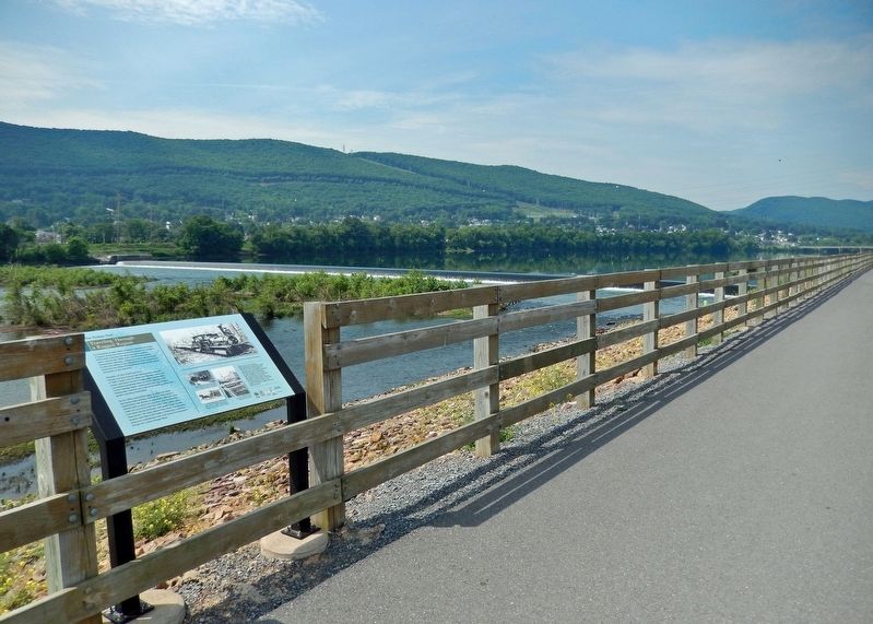
Location. 41° 14.152′ N, 77° 0.255′ W. Marker is in Williamsport, Pennsylvania, in Lycoming County. Marker can be reached from Market Street (U.S. 15) just south of Susquehanna Beltway (U.S. 220), on the right when traveling south. Marker is located along the Susquehanna Riverwalk, on the north side of the West Branch Susquehanna River, between
Market Street and Maynard Street. Touch for map. Marker is in this post office area: Williamsport PA 17701, United States of America. Touch for directions.
Other nearby markers. At least 8 other markers are within walking distance of this marker. Williamsport's Lumber Barons (about 400 feet away, measured in a direct line); Spars and Sticks: Rafting the West Branch (about 400 feet away); The Mills that Made Williamsport (approx. 0.2 miles away); Opening the Frontier: West Branch Canal (approx. 0.2 miles away); Julia C. Collins (approx. 0.2 miles away); Restoring the Forests (approx. 0.2 miles away); Discover the Lumber Heritage Region (approx. ¼ mile away); Booming Business (approx. ¼ mile away). Touch for a list and map of all markers in Williamsport.
Related markers. Click here for a list of markers that are related to this marker. The Timber Trail
Also see . . .
1. Early railroads in Lycoming County.
The first railroad in the Williamsport area was the Williamsport and Elmira Railroad, which was incorporated by the Pennsylvania legislature on June 9, 1832. But it would not be until 1839 that the railroad was fully operational. The railroad was used to transport coal from the northern portion of Lycoming County and later lumber to various markets. The first locomotive for the railroad was delivered to Williamsport using the mode of transportation that it would supersede — a flat-bottomed canal boat.(Submitted on February 14, 2022, by Cosmos Mariner of Cape Canaveral, Florida.)
2. Madame Montour.
Circa 1727, Madame Montour and her husband moved to the Province of Pennsylvania, where they settled in the village Otstonwakin (also known as Otstuagy or French Town) by the mouth of Loyalsock Creek on the West Branch Susquehanna River. Madame Montour became an important adviser to Pennsylvania officials, and she also worked for private traders.(Submitted on February 14, 2022, by Cosmos Mariner of Cape Canaveral, Florida.)
Credits. This page was last revised on February 14, 2022. It was originally submitted on February 13, 2022, by Cosmos Mariner of Cape Canaveral, Florida. This page has been viewed 136 times since then and 16 times this year. Photos: 1, 2, 3, 4, 5, 6. submitted on February 14, 2022, by Cosmos Mariner of Cape Canaveral, Florida.
