Mammoth Spring in Fulton County, Arkansas — The American South (West South Central)
Dam Site #1 and Mammoth Spring Milling Company
Inscription.
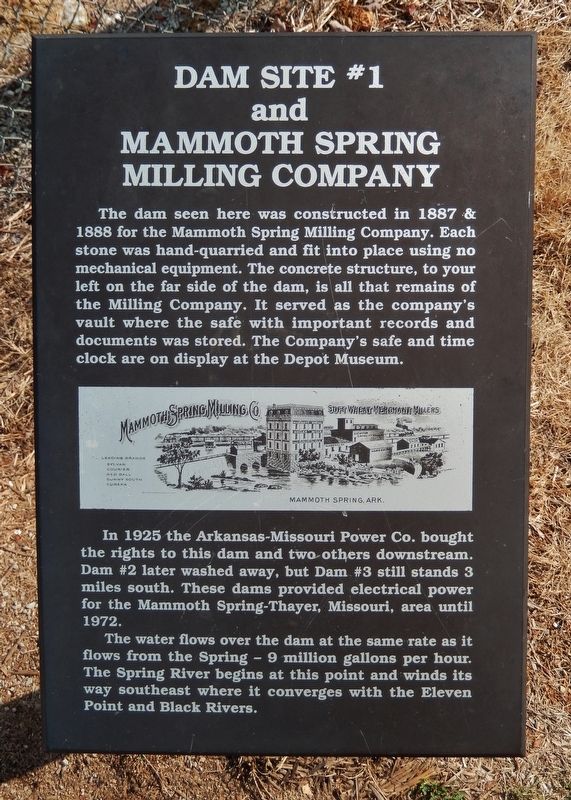
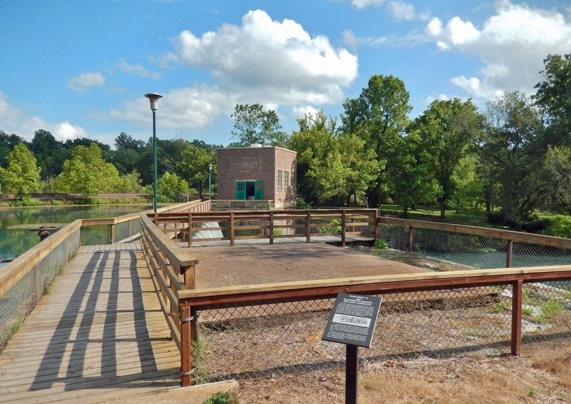
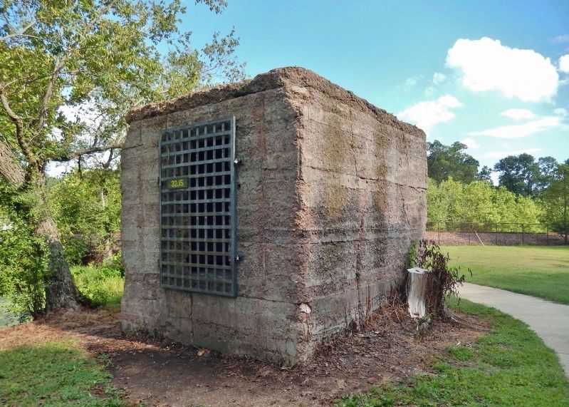
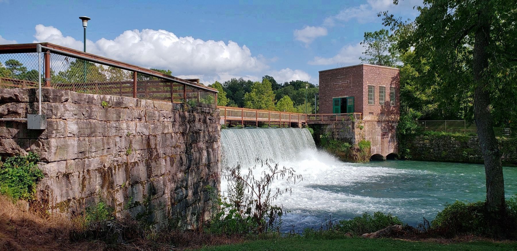
The dam seen here was constructed in 1887 & 1888 for the Mammoth Spring Milling Company. Each stone was hand-quarried and fit into place using no mechanical equipment. The concrete structure, to your left on the far side of the dam, is all that remains of the Milling Company. It served as the company's vault where the safe with important records and documents was stored. The Company's safe and time clock are on display at the Depot Museum.
In 1925 the Arkansas-Missouri Power Co. bought the rights to this dam and two others downstream. Dam #2 later washed away, but Dam #3 still stands 3 miles south. These dams provided electrical power for the Mammoth Spring-Thayer, Missouri, area until 1972.
The water flows over the dam at the same rate as it flows from the Spring — 9 million gallons per hour. The Spring River begins at this point and winds its way southeast where it converges with the Eleven Point and Black Rivers.
Topics. This historical marker is listed in these topic lists: Agriculture • Industry & Commerce • Parks & Recreational Areas • Waterways & Vessels. A significant historical year for this entry is 1887.
Location. 36° 29.724′ N, 91° 32.09′ W. Marker is in Mammoth Spring, Arkansas, in Fulton County. Marker can be reached from the intersection of U.S. 63 and Main Street (State Route 9), on the right when traveling north. Marker and dam are located within Mammoth Spring State Park. Touch for map. Marker is at or near this postal address: 17 US Highway 63, Mammoth Spring AR 72554, United States of America. Touch for directions.
Other nearby markers. At least 8 other markers are within walking distance of this marker. The Development of Mammoth Spring (within shouting distance of this marker); What Am I Standing On? (within shouting distance of this marker); Mammoth Spring (within shouting distance of this marker); Arkansas-Missouri Power Company (within shouting distance of this marker); The Big Gun (about 400 feet away, measured in a direct line); Old Soldier's Reunion (about 500 feet away); The Inspiration for The Grand Ole Opry (about 500 feet away); Mammoth Spring Depot (about 600 feet away). Touch for a list and map of all markers in Mammoth Spring.
Regarding Dam Site #1 and Mammoth Spring Milling Company. National Register of Historic Places #09000512; listed as Mammoth Spring Dam and Lake.
Related markers. Click here for a list of markers that are related to this marker. Mammoth Spring State Park
Also see . . .
1. Mammoth Spring Milling Company.
The Mammoth Spring Milling Company was a roller mill that, in part, used the spring waters to help drive the machinery. It ground wheat for local farmers and shipped it out by railroad.(Submitted on February 15, 2022, by Cosmos Mariner of Cape Canaveral, Florida.)
2. Mammoth Spring.
The spring was used to power a gristmill from the times of the earliest European settlement. The Mammoth Spring Milling Company constructed a dam and a water-powered gristmill just downstream of the outlet of the spring lake. The spring's large discharge volume rushes a few hundred feet down the outlet channel before merging with the Warm Fork of the Spring River to form the Spring River.(Submitted on February 15, 2022, by Cosmos Mariner of Cape Canaveral, Florida.)
Credits. This page was last revised on February 17, 2022. It was originally submitted on February 15, 2022, by Cosmos Mariner of Cape Canaveral, Florida. This page has been viewed 372 times since then and 39 times this year. Photos: 1, 2, 3, 4. submitted on February 15, 2022, by Cosmos Mariner of Cape Canaveral, Florida.


