Near Englewood in Clark County, Kansas — The American Midwest (Upper Plains)
Big Basin Prairie Preserve
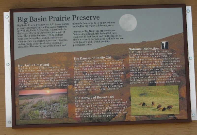
Big Basin Prairie Preserve is a 1,818-acre nature preserve managed by the Kansas Department of Wildlife, Parks & Tourism. It is named after the large collapse basin or sink just north of here. This 1-mile diameter, 100-foot deep basin was formed by solution-subsidence, when surface water gains access and dissolves underground deposits of salt, gypsum, or limestone. The overlaying layers of rock and minerals then subside to fill the volume vacated by the water-soluble deposits.
Just east of Big Basin are other collapse features including Little Basin (280 yards diameter, 35 feet deep), and on the side of its rim is a recently-formed deep sinkhole known as St. Jacob's Well, which contains permanent water.
Not Just a Grassland
Big Basin Preserve lies just west of the 100th Meridian, in the zone where tall and mixed grass prairie give way to more drought tolerant short grass prairie. Several mid-grasses predominate the area including little bluestem, buffalo grass and bluegrama. Big bluestem, a characteristic tall grass prairie species, grows in moister areas such as around old sink scars.
The Kansas of Really Old
Big Basin Prairie Preserve rest at the western edge of the Red Hills, a region of Kansas with more rugged topography atypical of the Great Plains. Part of the latter Permian Period (~260 million years ago), several thousand feet of brick-red shale, siltstone and sandstones with interbedded layers of gypsum and dolomite were deposited and subsequently exposed through erosion. These iron oxide Permian deposits rust when exposed to oxygen. Look for these bright red soils poking out through the grasses, especially on the sidewalls of the basins.
The Kansas of Recent Old
Big Basin Prairie Preserve is a rocky prairie that appears very similar to how Kansas looked 100 years ago. Bison, a native grassland glazer, range within the Big Basin Prairie Preserve and help to to maintain the natural characteristics of this ecosystem type that has seen dramatic loss in the United States over the past century.
National Distinction
In 1978, the Secretary of the Interior designated this site as the Big Basin Preserve national Natural Landmark (NNL) in recognition of its excellent examples of collapse features, as well as its thriving bluestem-grama (mixed grass) prairie. NNL sites are natural areas that represents the diversity of our nation's natural heritage and are considered the best remaining examples of such features. The National Park Service administers the NNL Program and works in partnership with NNL landowners to advocate for and assist with conservation of these significant natural areas.
Erected

Photographed By Jason Armstrong, July 16, 2021
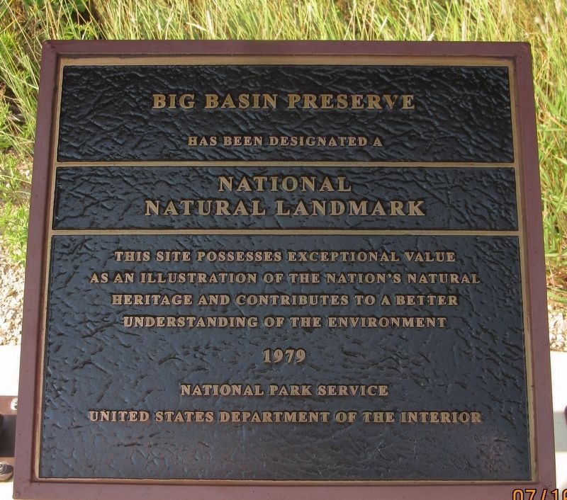
2. Big Basin Preserve
has been designated a National Natural Landmark
This site possesses exceptional value as an illustration of the nation's natural heritage and contributes to a better understanding of the environment
1979
National Park Service
United States Department of the Interior
This site possesses exceptional value as an illustration of the nation's natural heritage and contributes to a better understanding of the environment
1979
National Park Service
United States Department of the Interior
Topics. This historical marker is listed in these topic lists: Environment • Parks & Recreational Areas. A significant historical year for this entry is 1978.
Location. 37° 13.878′ N, 100° 0.018′ W. Marker is near Englewood, Kansas, in Clark County. Marker is on U.S. 283, 3 miles south of U.S. 160, on the right when traveling north. Touch for map. Marker is in this post office area: Englewood KS 67840, United States of America. Touch for directions.
Other nearby markers. At least 3 other markers are within 15 miles of this marker, measured as the crow flies. Big Basin (approx. 0.6 miles away); Fowler Veterans Memorial (approx. 14.8 miles away); Fowler Cemetery Veterans Memorial (approx. 14.8 miles away).
Credits. This page was last revised on February 20, 2022. It was originally submitted on February 15, 2022, by Jason Armstrong of Talihina, Oklahoma. This page has been viewed 149 times since then and 21 times this year. Photos: 1, 2. submitted on February 15, 2022, by Jason Armstrong of Talihina, Oklahoma. • J. Makali Bruton was the editor who published this page.
Editor’s want-list for this marker. A wide view photo of the marker and the surrounding area together in context. • Can you help?
