Washington Township near Waynesboro in Franklin County, Pennsylvania — The American Northeast (Mid-Atlantic)
South Mountain
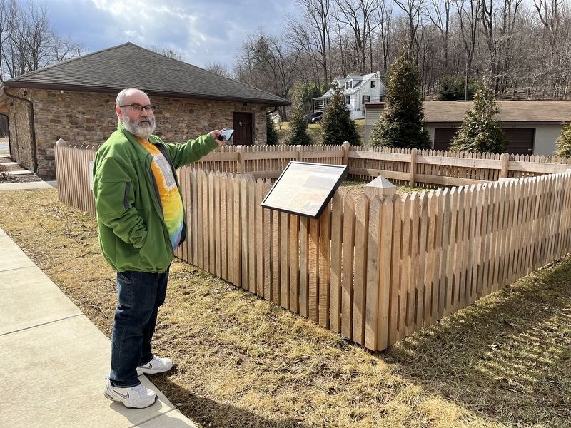
The Story of Richard Bard

Before the French and Indian War in 1754, lands west of South Mountain was considered a wilderness. With the outbreak of war, several settlements in this area were raided by the Indians.
In 1756, two Indian raids occurred, with one man taken from South Mountain, and another man taken from near Antietam Creek, just west of here. In 1758, another raid near Cashtown occurred, resulting in the capture of Mary Jemison and her family.
On April 31, 1758, two miles east of Monterey Pass at Virginia Mills, the Delaware Indians attacked the home of Richard Bard. During the raid, the Indians set fire to the mill, and killed Thomas Potter and one of Bard's children. After the raid, the Indians and nine prisoners moved into South Mountain, where the prisoners, were escorted to Mont Alto Gap, then to Black Gap, and into Path Valley. Near Bedford, Richard was able to flee and return home.
In 1760, Bard was able to free his wife, Catherine by buying her back. They returned home to Franklin County.
Topics and series. This historical marker is listed in these topic lists: Colonial Era • Settlements & Settlers •
this page online
Location. 39° 44.289′ N, 77° 28.765′ W. Marker is near Waynesboro, Pennsylvania, in Franklin County. It is in Washington Township. It is on Charmian Road just east of Buchanan Trail East (Pennsylvania Route 16), on the right when traveling east. Touch for map. Marker is at or near this postal address: 14325 Buchanan Trail E, Waynesboro PA 17268, United States of America. Touch for directions.

Regionally, this marker is in South-Central Pennsylvania. It is also in the American Northeast, in the Mid-Atlantic, in Appalachia, and specifically in Northern Appalachia. Globally, it is in North America, the Western Hemisphere, the Western World, and the Anglosphere. Historically, it finds itself in what was once the Haudenosaunee (Iroquois) Confederacy and also one of the original Thirteen Colonies.
Other nearby markers. At least 8 other markers are within walking distance of this marker: Corporal Joseph Brubaker, Jr. (a few steps from this marker); The Battle of Monterey Pass (a
Credits. This page was last revised on February 7, 2023. It was originally submitted on February 21, 2022, by Devry Becker Jones of Washington, District of Columbia. This page has been viewed 658 times since then and 43 times this year. Photos: 1, 2. submitted on February 21, 2022, by Devry Becker Jones of Washington, District of Columbia.
