Victoria in Victoria County, Texas — The American South (West South Central)
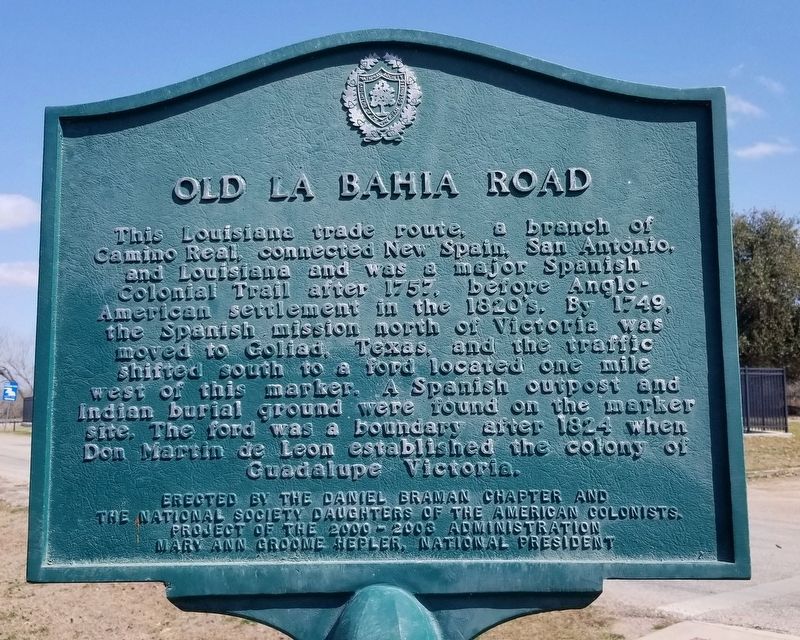
Old La Bahia Road
Erected 2003 by The Daniel Braman Chapter and the National Society Daughters of the American Colonists.
Topics. This historical marker is listed in these topic lists: Colonial Era • Hispanic Americans • Roads & Vehicles. A significant historical year for this entry is 1757.
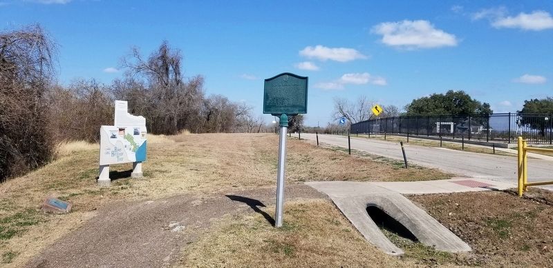
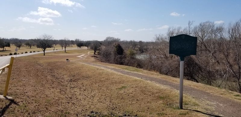
Location. 28° 49.412′ N, 97° 0.911′ W. Marker is in Victoria, Texas, in Victoria County. Marker is on McCright Drive, 0.4 miles west of North Vines Street, on the right when traveling south. The marker is located along the Riverside Walking Trail and the intersection of the road. Touch for map. Marker is in this post office area: Victoria TX 77901, United States of America. Touch for directions.
Other nearby markers. At least 8 other markers are within walking distance of this marker. Victoria (here, next to this marker); Tonkawa Bank (about 700 feet away, measured in a direct line); a different marker also named Tonkawa Bank (about 700 feet away); Presidio La Bahia and Mission Espíritu Santo (about 800 feet away); Steamboating and the Guadalupe River (approx. ¼ mile away); Friedrich & Margaretha Hiller House (approx. 0.4 miles away); Margaret Wright "The Mother of Texas" (approx. 0.8 miles away); William Robert Smith (approx. 0.8 miles away). Touch for a list and map of all markers in Victoria.
Also see . . . La Bahía Road.
The La Bahía, Opelousas, or Lower Road was originally an east-west Indian trail in southwestern Louisiana and southeastern Texas and eventually extended to Washington-on-the-Brazos and Goliad. Source: The Handbook of Texas(Submitted on February 26, 2022, by James Hulse of Medina, Texas.)
Credits. This page was last revised on February 26, 2022. It was originally submitted on February 26, 2022, by James Hulse of Medina, Texas. This page has been viewed 166 times since then and 30 times this year. Photos: 1, 2, 3. submitted on February 26, 2022, by James Hulse of Medina, Texas.


