Victoria in Victoria County, Texas — The American South (West South Central)
La Calle de los Diez Amigos
The Street of Ten Friends
1835
| — | Victoria Trail Through Time | — |
Photographed by James Hulse, February 21, 2022
1. La Calle de los Diez Amigos Marker
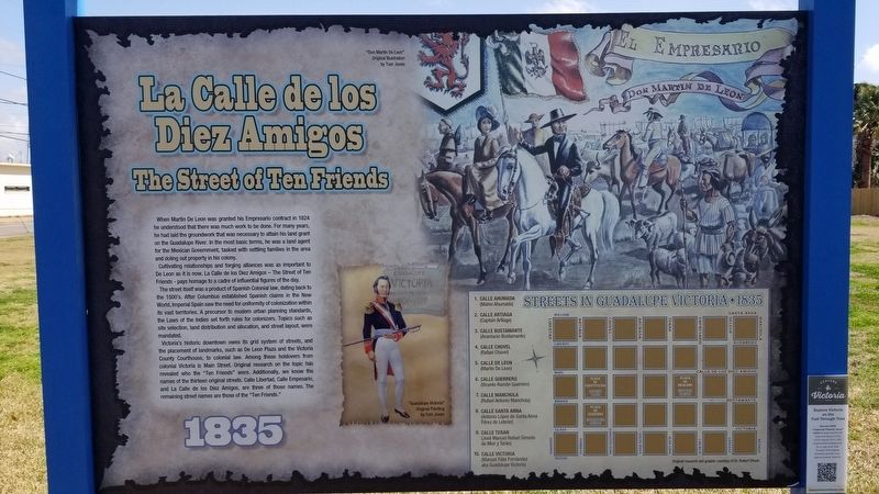
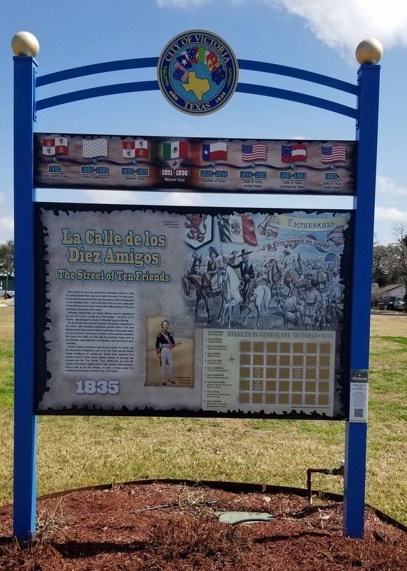
When Martin De Leon was granted his Empresario contract in 1824 he understood that there was much work to be done. For many years, he had laid the groundwork that was necessary to attain his land grant on the Guadalupe River. In the most basic terms, he was a land agent for the Mexican Government, tasked with settling families in the area and doling out property in his colony.
Cultivating relationships and forging alliances was as important to De Leon as it is now. La Calle de los Diez Amigos - The Street of Ten Friends - pays homage to a cadre of influential figures of the day.
The street itself was a product of Spanish Colonial law, dating back to the 1500's. After Columbus established Spanish claims in the New World, Imperial Spain saw the need for uniformity of colonization within its vast territories. A precursor to modern urban planning standards, the Laws of the Indies set forth rules for colonizers. Topics such as site selection, land distribution and allocation, and street layout, were mandated.
Victoria's historic downtown owes its grid system of streets, and the placement of landmarks, such as De
this page online
Captions
Upper Right: "Don Martin De Leon"
Original Illustration by Tom Jones
Lower Right: Streets in Guadalupe Victoria • 1835
Original researchers graphic courtesy of Dr. Robert Shook
Erected by City of Victoria.
Topics. This historical marker is listed in these topic lists: Colonial Era • Hispanic Americans • Settlements & Settlers. A significant historical year for this entry is 1824.
Location. 28° 48.245′ N, 97° 0.232′ W. Marker is in Victoria, Texas, in Victoria County. It is at the intersection of North Main Street and East North Street, on the left when traveling south on North Main Street. The marker is located at the northeastern corner of the intersection. Touch for map. Marker is in this post
Photographed by James Hulse, February 21, 2022
2. La Calle de los Diez Amigos Marker

Regionally, this marker is in the American South and on the Gulf Coast. Globally, it is in North America, a Gulf of Mexico state, the Western Hemisphere, the Western World, and the Anglosphere. Historically, it finds itself in what was once New Spain, the Republic of Texas, and one of the Confederate States of America.
Other nearby markers. At least 8 other markers are within walking distance of this marker: First English Evangelical Lutheran Church (about 400 feet away, measured in a direct line); McNamara House (about 600 feet away); Abraham Levi House (about 700 feet away); Proctor House (approx. 0.2 miles away); First United Methodist Church of Victoria (approx. 0.2 miles away); Robert H. and Pauline Clark House (approx. 0.2 miles away); Viola Case (approx. 0.2 miles away); James A. McFaddin Home (approx. ¼ mile away). Touch for a list and map of all markers in Victoria.
Also see . . . De Leon, Martin (1765–1833). (Submitted on February 27, 2022, by James Hulse of Medina, Texas.)
Photographed by James Hulse, February 21, 2022
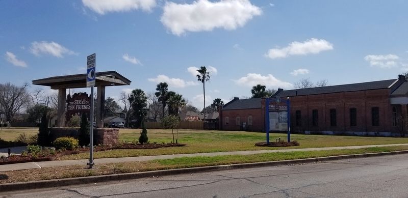
3. The view of the La Calle de los Diez Amigos Marker from the street
Credits. This page was last revised on February 1, 2026. It was originally submitted on February 27, 2022, by James Hulse of Medina, Texas. This page has been viewed 1,356 times since then and 51 times this year. Photos: 1, 2, 3. submitted on February 27, 2022, by James Hulse of Medina, Texas.
