Schuylkill Banks in Philadelphia in Philadelphia County, Pennsylvania — The American Northeast (Mid-Atlantic)
Rolling Along
the River
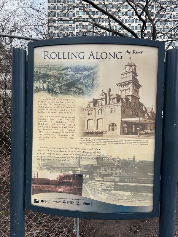
The ability to quickly and inexpensively transport supplies, finished goods, and food by rail revolutionized life in Philadelphia in the 1800s. Construction of new rail lines also crated jobs, from building train parts to laying the tracks.
Three major and many minor railroad companies built tracks along the Schuylkill in Philadelphia. The Philadelphia and Reading Railroad (P&R), Pennsylvania Railroad (PRR) and the Baltimore and Ohio Railroad (B&O) competed to control Philadelphia trade, laying miles of railroad track and buying other companies along the way.
While railroads were important for Philadelphia business and industry, they also cut off neighborhood access tot he river. Abandoned rail lines were left along the banks because they were difficult and expensive to remove. Years of heavy railroad use left layers of coal ash, oil and tar that contaminated the soil along the river.
[Caption:]
The Philadelphia Terminal of the Baltimore and Ohio Railroad was located at Chestnut and 24th Streets between 1888 and 1963. The highly ornamental station was designed by Philadelphian Frank Furness. It had restaurants and large men's and women's waiting rooms on the Chestnut Street level. Broad stairways and elevators led down to the main ticketing and boarding area, near where you are standing.
Erected by Fairmount Park Conservancy; Schuylkill Banks.
Topics and series. This historical marker is listed in these topic lists: Bridges & Viaducts • Industry & Commerce • Roads & Vehicles • Waterways & Vessels. In addition, it is included in the Baltimore and Ohio Railroad (B&O), and the Pennsylvania Railroad (PRR) series lists. A significant historical year for this entry is 1888.
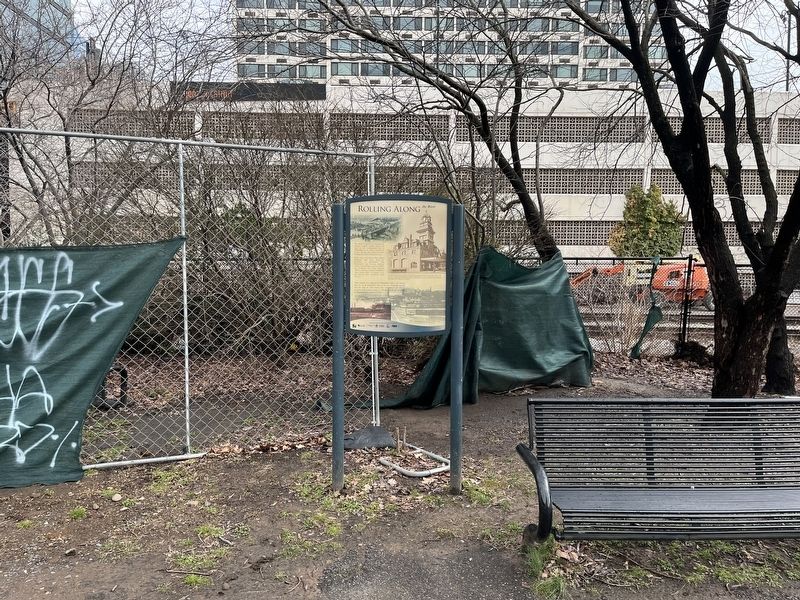
Location. 39° 57.159′ N, 75° 10.825′ W. Marker is in Philadelphia, Pennsylvania, in Philadelphia County. It is in Schuylkill Banks. Marker is on Schuylkill River Trail, 0.1 miles north of Walnut Street, on the right when traveling south. Touch for map. Marker is at or near this postal address: 2401 Chestnut St, Philadelphia PA 19103, United States of America. Touch for directions.
Other nearby markers. At least 8 other markers are within walking distance of this marker. A Brief History of Schuylkill Banks (about 400 feet away, measured in a direct line); Schuylkill Permanent Bridge (about 700 feet away); You Are Here, In the Year… (about 700 feet away); First Troop Philadelphia City Cavalry (about 700 feet away); Creating the Greenway (about 800 feet away); A Revolutionary River (approx. 0.2 miles away); In 1870, St. James Episcopal Church filled this corner.
Credits. This page was last revised on February 2, 2023. It was originally submitted on February 27, 2022, by Devry Becker Jones of Washington, District of Columbia. This page has been viewed 108 times since then and 7 times this year. Photos: 1, 2. submitted on February 27, 2022, by Devry Becker Jones of Washington, District of Columbia.

