Fitler Square in Philadelphia in Philadelphia County, Pennsylvania — The American Northeast (Mid-Atlantic)
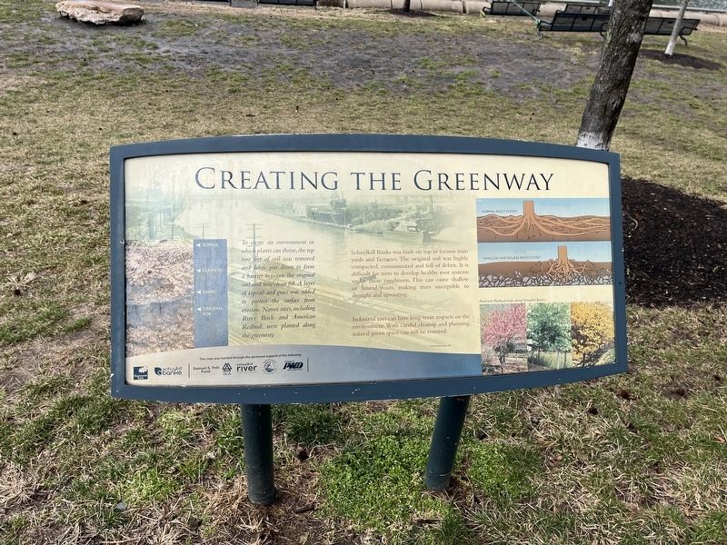
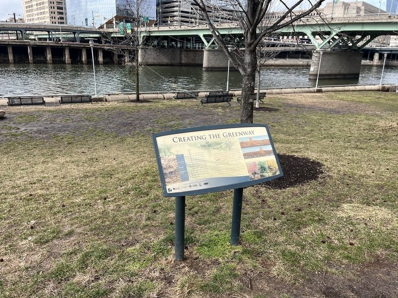
Creating the Greenway
To create an environment in which plants can thrive, the top two feet of soil was removed and fabric put down to form a barrier between the original soil and new clean fill. A layer of topsoil and grass was added to protect the surface from erosion. Native trees, including River Birch and American Redbud, were planted along the greenway.
Schuylkill Banks was built on top of former train yards and factories. The original soil was highly compacted, contaminated and full of debris. It is difficult for trees to develop healthy root systems under these conditions. This can cause shallow or bound roots, making trees susceptible to drought and uprooting.
Industrial uses can have long-term impacts on the environment. With careful cleanup and planning natural green space can be restored.
Erected by Fairmount Park Conservancy; Schuylkill Banks.
Topics. This historical marker is listed in these topic lists: Environment • Horticulture & Forestry • Industry & Commerce • Parks & Recreational Areas.
Location. 39° 57.042′ N, 75° 10.881′ W. Marker is in Philadelphia, Pennsylvania, in Philadelphia County. It is in Fitler Square. Marker is on Schuylkill River Trail , 0.1 miles south of Walnut Street. Touch for map. Marker is at or near this postal address: 2436 Walnut St, Philadelphia PA 19103, United States of America. Touch for directions.
Other nearby markers. At least 8 other markers are within walking distance of this marker. A Brief History of Schuylkill Banks (about 300 feet away, measured in a direct line); Schuylkill River Park (about 500 feet away); Industry (about 600 feet away); Wharves (about 600 feet away); Schuylkill Expressway (about 700 feet away); Rolling Along (about 800 feet away); In 1870, St. James Episcopal Church filled this corner. (approx. 0.2 miles away); a different marker also named Schuylkill River Park (approx. 0.2 miles away). Touch for a list and map of all markers in Philadelphia.
Credits. This page was last revised on February 2, 2024. It was originally submitted on February 27, 2022, by Devry Becker Jones of Washington, District of Columbia. This page has been viewed 94 times since then and 5 times this year. Photos: 1, 2. submitted on February 27, 2022, by Devry Becker Jones of Washington, District of Columbia.

