Three Forks in Gallatin County, Montana — The American West (Mountains)
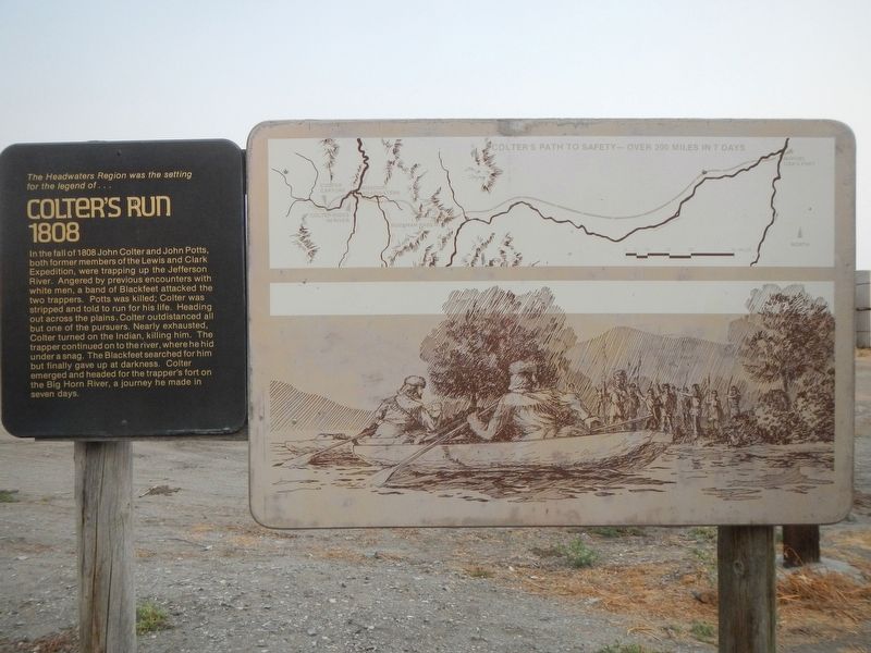
Colter's Run 1808
Photographed by Barry Swackhamer, July 27, 2021
1. Colter's Run 1808 Marker
Caption: (map) Colter's Path to Safety - Over 200 Miles in 7 Days.
In the fall of 1808 John Colter and John Potts, both former members of the Lewis and Clark Expedition, were trapping up the Jefferson River. Angered by previous encounters with white men, a band of Blackfeet attacked the two trappers. Potts was killed; Colter was stripped and told to run for his life. Heading out across the plains, Colter outdistanced all but one of the pursuers. Nearly exhausted, Colter turned on the Indian, killing him. The trapper continued on to the river, where he hid under a snag. The Blackfeet searched for him but finally gave up at darkness. Colter emerged and headed for the trapper's fort on the Big Horn River, a journey made in seven days.
Topics. This historical marker is listed in these topic lists: Indigenous Peoples and Communities • Notable Events.
Location. 45° 53.798′ N, 111° 33.085′ W. Marker is in Three Forks, Montana, in Gallatin County. It is at the intersection of North Main Street (State Highway 2) and Cottonwood, on the left when traveling
this page online

Regionally, this marker is in Yellowstone Country and in Greater Bozeman. It is also in the American Mountain West and in the Lewis & Clark Corridor. Globally, it is in North America, the Rocky Mountains, the Western Hemisphere, the Western World, and the Anglosphere. Historically, it finds itself in what was once Rupert’s Land and also the Louisiana Purchase.
Other nearby markers. At least 8 other markers are within walking distance of this marker: Native Americans (here, next to this marker); European Interest in the Missouri (here, next to this marker); Fur Trade (here, next to this marker); Louisiana Purchase - 1803 (here, next to this marker); Lewis & Clark Arrive at the Headwaters July, 1805 (here, next to this marker); The Fur Trapper (here, next to this marker); Three Forks Post - 1810 (here, next to this marker); Sacajawea Captured in 1800 (here, next to this marker). Touch for a list and map
Photographed by Barry Swackhamer, July 27, 2021
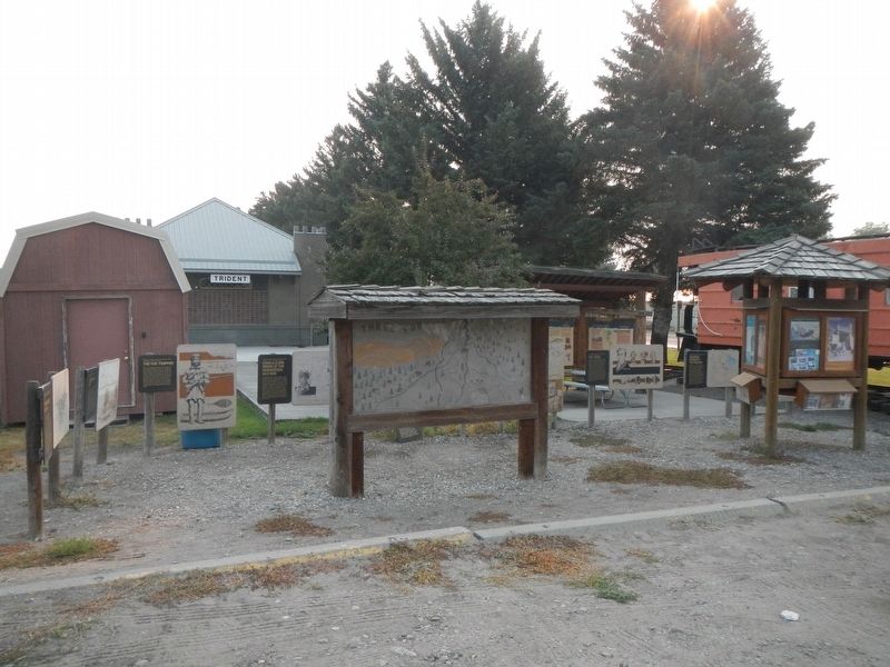
2. Markers located next to the Three Forks Chamber of Commerce.
Credits. This page was last revised on March 1, 2022. It was originally submitted on March 1, 2022, by Barry Swackhamer of Brentwood, California. This page has been viewed 725 times since then and 155 times this year. Photos: 1, 2. submitted on March 1, 2022, by Barry Swackhamer of Brentwood, California.
