Penn's Landing in Philadelphia in Philadelphia County, Pennsylvania — The American Northeast (Mid-Atlantic)
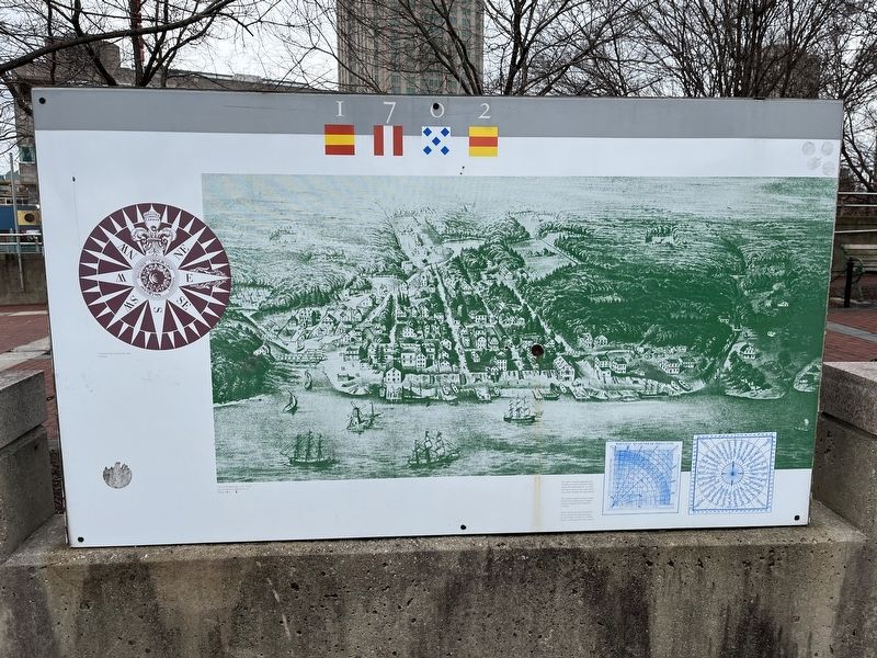
1702
Compass card, end of the 18th century.
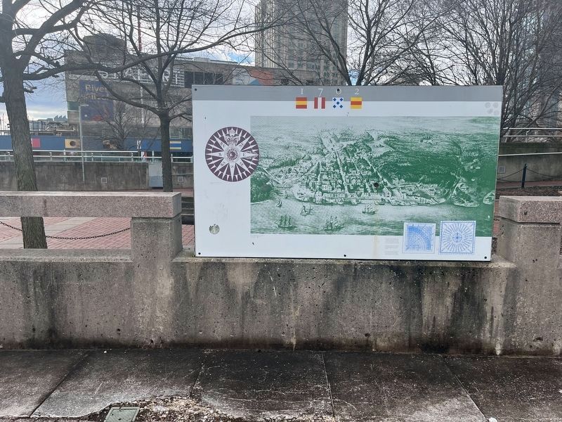
View of Philadelphia, 1702. Courtesy of the Historical Society of Philadelphia.
The "new" mariner's quadrant was commonly used on ships for obtaining an estimated position. It came into use as early as 1623 and continued in use through the 18th century.
The nautical square resolves courses steered and distances run. Graphic aids and diagrams were preferred to books.
These instruments and navigational devises would have been found on merchant ships in the port of Philadelphia throughout the 18th century.
Topics. This historical marker is listed in these topic lists: Colonial Era • Communications • Exploration • Settlements & Settlers • Waterways & Vessels. A significant historical year for this entry is 1702.
Location. 39° 56.812′ N, 75° 8.407′ W. Marker is in Philadelphia, Pennsylvania, in Philadelphia County. It is in Penn's Landing. Marker is on South Christopher Columbus Boulevard north of Walnut Plaza, on the right when traveling north. Touch for map. Marker is at or near this postal address: 121 S Christopher Columbus Blvd, Philadelphia PA 19106, United States of America. Touch for directions.
Other nearby markers. At least 8 other markers are within walking distance of this marker. 1793 (here, next to this marker); 1777 (here, next to this marker); 1684 (a few steps from this marker); 1854 (a few steps from this marker); William Penn's Philadelphia (a few steps from this marker); 1768 (a few steps from this marker); 1874 (a few steps from this marker); a different marker also named 1793 (a few steps from this marker). Touch for a list and map of all markers in Philadelphia.
Credits. This page was last revised on February 2, 2023. It was originally submitted on March 1, 2022, by Devry Becker Jones of Washington, District of Columbia. This page has been viewed 68 times since then and 6 times this year. Photos: 1. submitted on March 1, 2022, by Devry Becker Jones of Washington, District of Columbia. 2. submitted on January 16, 2023, by Devry Becker Jones of Washington, District of Columbia.

