Near Townsend in Broadwater County, Montana — The American West (Mountains)
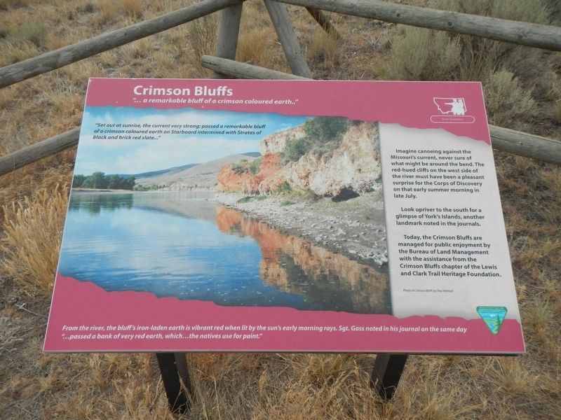
Crimson Bluffs
"...a remarkable bluff of a crimson coloured earth...."
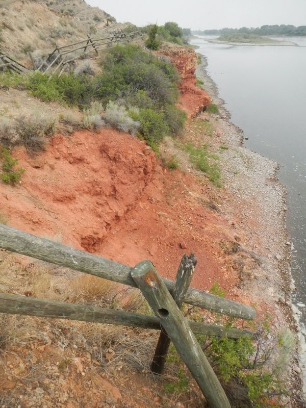
Imagine canoeing against the Missouri's current, never sure of what might be around the bend. The red-hued cliffs on the west side of the river must have been a pleasant surprise for the Corps of Discovery on that early summer morning in late July.
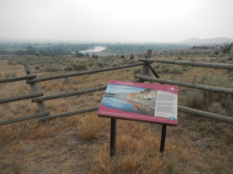
Look upriver to the south for a glimpse of York's Islands, another landmark noted in the journals.
Today, the Crimson Bluffs are managed for public enjoyment by the Bureau of Land Management with the assistance from the Crimson Bluffs chapter of the Lewis and Clark Trail Heritage Foundation.
From the river, the bluff's iron-laden earth is vibrant red when lit by the sun's early morning rays. Sgt. Gass noted in his journal on the same day "...passed a bank of very red earth, which...the natives use for paint."
Erected by Bureau of Land Management, Lewis and Clark Trail Heritage Foundation.
Topics and series. This historical marker is listed in these topic lists: Natural Features • Waterways & Vessels. In addition, it is included in the Lewis & Clark Expedition series list. A significant historical date for this entry is July 24, 1805.
Location. 46° 18.779′ N, 111° 32.753′ W. Marker is near Townsend, Montana, in Broadwater County. Marker is on River Road near Deer Path, on the right when traveling north. The Crimson Bluffs are about a quarter-mile hike from the marker and parking lot. Touch for map. Marker is in this post office area: Townsend MT 59644, United States of America. Touch for directions.
Other nearby markers. At least 8 other markers are within 11 miles of this marker, measured as the crow flies. Valley Masonic Lodge No. 21 (approx. 1.4 miles away); State Bank of Townsend (approx. 1˝ miles away); Thar's Gold in Them Thar Hills (approx. 3 miles away); Canyon Ferry (approx. 3 miles away); Yorks Islands (approx. 4.1 miles away); Lorentz Homestead (approx. 10.9 miles away); Toston Bridge (approx. 10.9 miles away); Toston Smelter (approx. 10.9 miles away). Touch for a list and map of all markers in Townsend.
Credits. This page was last revised on March 2, 2022. It was originally submitted on March 2, 2022, by Barry Swackhamer of Brentwood, California. This page has been viewed 175 times since then and 23 times this year. Photos: 1, 2, 3, 4. submitted on March 2, 2022, by Barry Swackhamer of Brentwood, California.


