Devine in Medina County, Texas — The American South (West South Central)
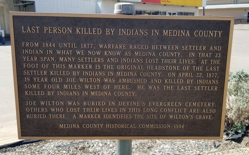
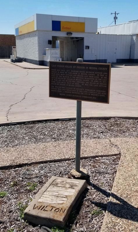
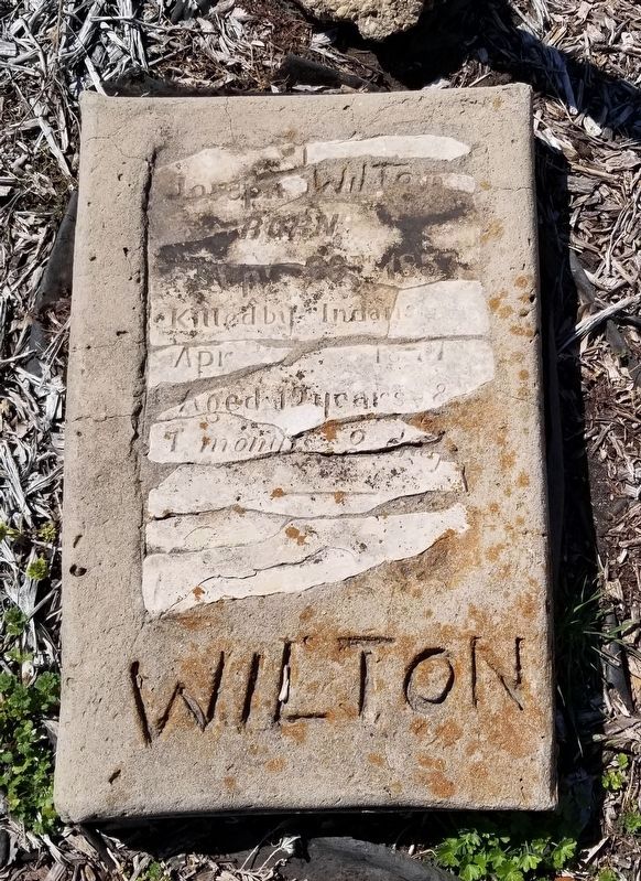
Last Person Killed by Indians in Medina County
Joe Wilton was buried in Devine's Evergreen Cemetery. Others who lost their lives in this long conflict are also buried there. A marker identifies the site of Wilton's grave.
Erected 1994 by Medina County Historical Commission.
Topics. This historical marker is listed in these topic lists: Native Americans • Settlements & Settlers • Wars, US Indian. A significant historical date for this entry is April 22, 1877.
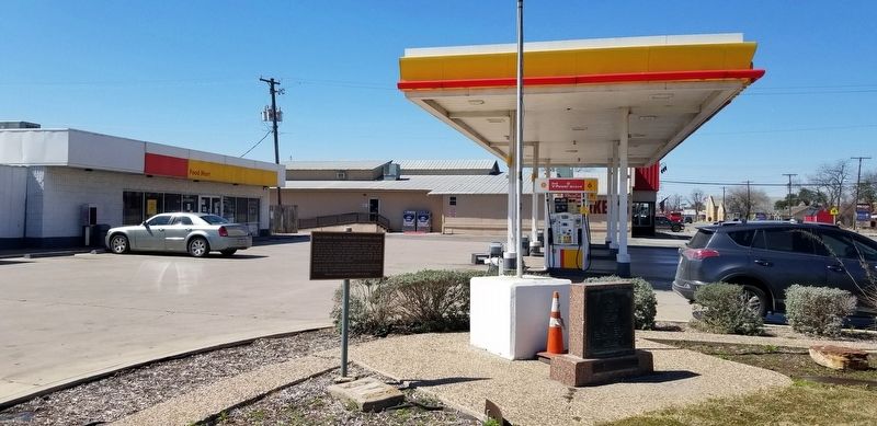
Location. 29° 8.409′ N, 98° 54.361′ W. Marker is in Devine, Texas, in Medina County. Marker is at the intersection of South Teel Drive (State Highway 132) and West Hondo Avenue (State Highway 173), on the left when traveling north on South Teel Drive. The marker is located at the western corner of the intersection at a convenience store parking lot. Touch for map. Marker is at or near this postal address: 101 South Teel Drive, Devine TX 78016, United States of America. Touch for directions.
Other nearby markers. At least 8 other markers are within 3 miles of this marker, measured as the crow flies. American Legion Memorial (here, next to this marker); Judge Thomas J. Devine (within shouting distance of this marker); Stroud's Blacksmith Shop (about 800 feet away, measured in a direct line); First Baptist Church of Devine (approx. 0.2 miles away); Devine Lodge, No. 590 (approx. half a mile away); Devine Evergreen Cemetery (approx. one mile away); Spanish Exploration in Medina County (approx. 2.7 miles away); Charco de la Pita (approx. 2.7 miles away). Touch for a list and map of all markers in Devine.
Credits. This page was last revised on March 5, 2022. It was originally submitted on March 5, 2022, by James Hulse of Medina, Texas. This page has been viewed 436 times since then and 66 times this year. Photos: 1, 2, 3, 4. submitted on March 5, 2022, by James Hulse of Medina, Texas.


