Franklin in Williamson County, Tennessee — The American South (East South Central)
Fort Granger
“We could see every troop and every gun”
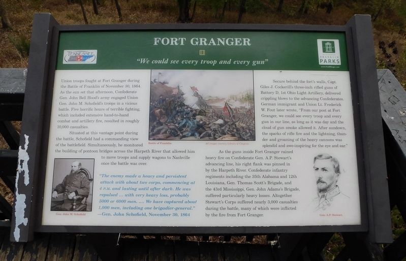
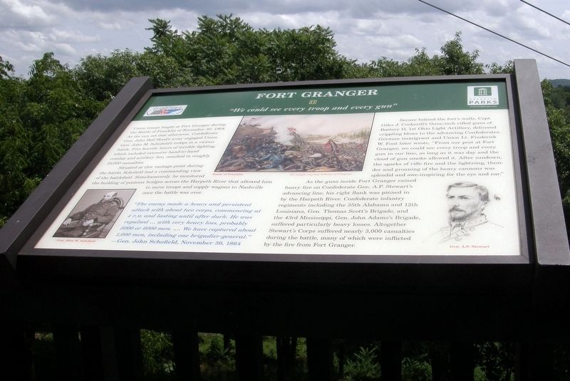
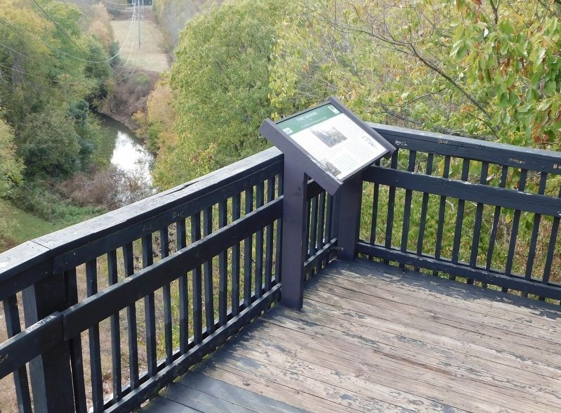
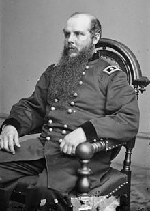
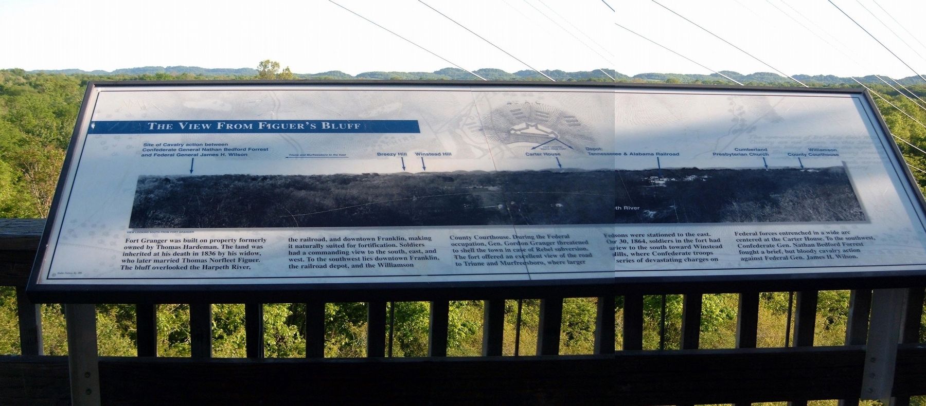
Situated at this vantage point during the battle, Schofield had a commanding view of the battlefield. Simultaneously, he monitored the building of pontoon bridges across the Harpeth River that allowed him to move troops and supply wagons to Nashville once the battle was over.
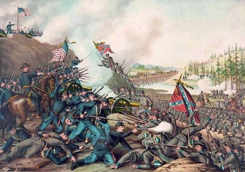
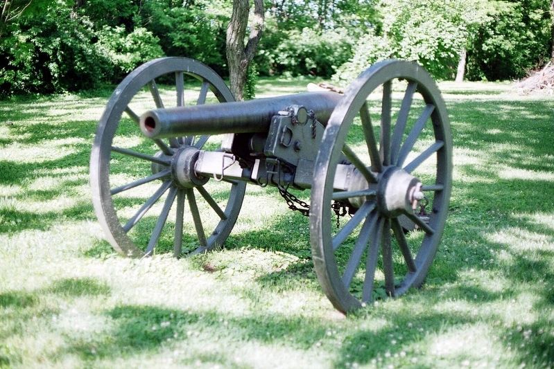
Secure behind the fort’s walls, Capt. Glen J. Cockerill’s three-inch rifled guns of Battery D, 1st Ohio Light Artillery, delivered crippling blows to the advancing Confederates. German immigrant and Union Lt. Frederick W. Fout later wrote, “From our post at Fort Granger, we could see every troop and every gun in our line, as long as it was day and the cloud of gun smoke allowed it. After sundown, the sparks of rifle fire and the lightning, thunder and groaning of the heavy cannons was splendid and awe-inspiring for the eye and ear.”
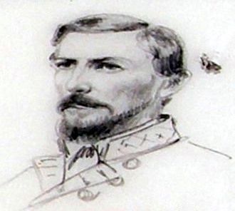
As the guns inside Fort Granger rained heavy fire on Confederate Gen. A.P. Stewart’s advancing line, his right flank was pinned by the Harpeth River. Confederate infantry regiments including the 35th Alabama and 12th Louisiana, Gen. Thomas Scott’s Brigade, and the 43rd Mississippi, Gen. John Adams’s brigade, suffered particularly heavy losses. Altogether Stewart’s Corps suffered nearly 3,000 casualties during the battle, many of which were inflicted by the fire from Fort Granger.
"The enemy made a heavy and persistent attack with about two corps, commencing at 4 P.M. and lasting until after dark. He was repulsed ... with very heavy loss, probably 5000 or 6000 men ... We have captured about 1,000 men, including one brigadier general."
—Gen. John Schofield, November 30, 1864
Erected by Historic Franklin Parks.
Topics. This historical marker is listed in these topic lists: Forts and Castles • War, US Civil. A significant historical date for this entry is November 30, 1864.
Location. 35° 55.481′ N, 86° 51.603′ W. Marker is in Franklin, Tennessee, in Williamson County. Marker can be reached from Edy Lane south of Fort Granger Drive, on the right when traveling south. Located in Fort Granger Park. Touch for map. Marker is in this post office area: Franklin TN 37064, United States of America. Touch for directions.
Other nearby markers. At least 8 other markers are within walking distance of this marker. A different marker also named Fort Granger (about 300 feet away, measured in a direct line); a different marker also named Fort Granger (about 300 feet away); a different marker also named Fort Granger (about 300 feet away); a different marker also named Fort Granger (about 400 feet away); a different marker also named Fort Granger (about 500 feet away); a different marker also named Fort Granger (about 500 feet away); General Granger and Emancipation (approx. ¼ mile away); a different marker also named Fort Granger (approx. ¼ mile away). Touch for a list and map of all markers in Franklin.
Credits. This page was last revised on December 13, 2022. It was originally submitted on November 12, 2019, by Larry Gertner of New York, New York. This page has been viewed 215 times since then and 11 times this year. Last updated on March 6, 2022, by Bradley Owen of Morgantown, West Virginia. Photos: 1. submitted on December 12, 2022, by Bradley Owen of Morgantown, West Virginia. 2. submitted on November 12, 2019, by Larry Gertner of New York, New York. 3. submitted on December 12, 2022, by Bradley Owen of Morgantown, West Virginia. 4, 5, 6, 7, 8. submitted on November 12, 2019, by Larry Gertner of New York, New York. • Mark Hilton was the editor who published this page.
