White Oak in Camden County, Georgia — The American South (South Atlantic)
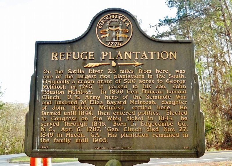
Refuge Plantation
———>
On the Satilla River 2.8 miles from here, was one of the largest rice plantations in the South. Originally a crown grant of 500 acres to George McIntosh in 1765, it passed to his son, John Houston McIntosh. In 1836 Gen. Duncan Lamont Clinch, U.S. Army hero of the Seminole War and husband to Eliza Bayard McIntosh, daughter of John Houston McIntosh, settled here. He farmed until 1844, then entered politics. Elected to Congress on the Whig ticket in 1844, he served through 1845. Born in Edgecombe Co., N.C., April 6, 1787, Gen. Clinch died Nov. 27, 1849 in Macon, GA. His plantation remained in the family until 1905.
Erected 1986 by Georgia Historical Commission. (Marker Number 020-6.)
Topics and series. This historical marker is listed in these topic lists: Agriculture • Settlements & Settlers • Wars, US Indian. In addition, it is included in the Georgia Historical Society series list. A significant historical year for this entry is 1765.
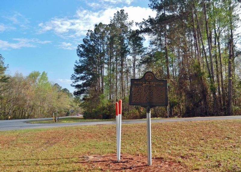
Location. 30° 59.095′ N, 81° 43.713′ W. Marker is in White Oak, Georgia, in Camden County. Marker is at the intersection of Ocean Highway (U.S. 17) and Refuge Road, on the right when traveling south on Ocean Highway. Touch for map. Marker is in this post office area: White Oak GA 31568, United States of America. Touch for directions.
Other nearby markers. At least 8 other markers are within 15 miles of this marker, measured as the crow flies. Loading Timber Products and Turpentine (approx. 1.1 miles away); Camden County (approx. 1.2 miles away); Post Road (approx. 8 miles away); Tre Francesco Porfirio (approx. 13 miles away); Joe H. Joseph / Hammond Roberts (approx. 13 miles away); Jacob Joseph (approx. 13 miles away); Union School (approx. 13.8 miles away); Treaty of Coleraine (approx. 14.3 miles away).
Also see . . . Refuge Plantation, Satilla River, Camden County, GA. (Photos from Historic American Buildings Survey, GA-248) (Submitted on March 9, 2022, by Cosmos Mariner of Cape Canaveral, Florida.)
Credits. This page was last revised on March 9, 2022. It was originally submitted on March 8, 2022, by Cosmos Mariner of Cape Canaveral, Florida. This page has been viewed 532 times since then and 167 times this year. Photos: 1, 2. submitted on March 8, 2022, by Cosmos Mariner of Cape Canaveral, Florida.

