Throggs Neck in the Bronx in Bronx County, New York — The American Northeast (Mid-Atlantic)
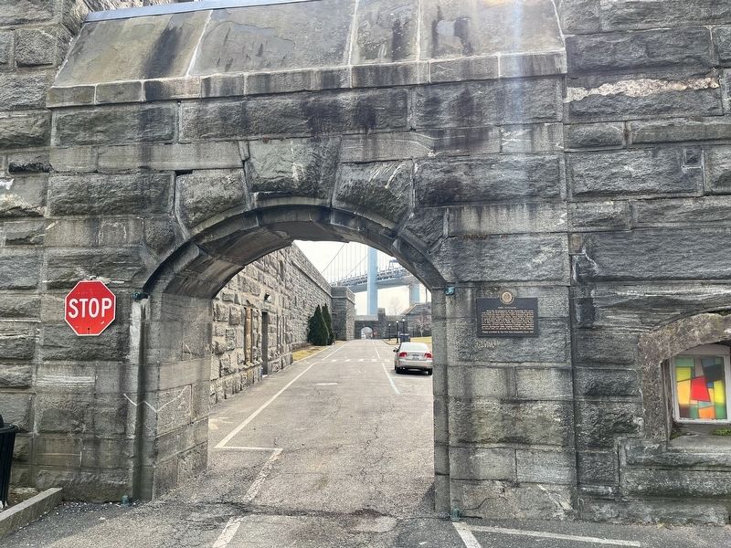
Fort Schuyler
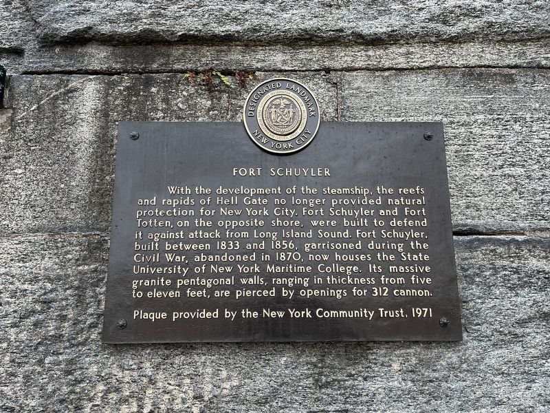
Erected 1971 by New York Community Trust.
Topics. This historical marker is listed in these topic lists: Education • Forts and Castles • Landmarks • War, US Civil • Waterways & Vessels. A significant historical year for this entry is 1833.
Location. 40° 48.366′ N, 73° 47.516′ W. Marker is in Bronx, New York, in Bronx County. It is in Throggs Neck. It is on Wadhams Street just south of Erben Avenue, on the right when traveling south. Touch for map. Marker is at or near this postal address: 6 Pennyfield Ave, Bronx NY 10465, United States of America. Touch for directions.

Regionally,
this page online
Other nearby markers. At least 8 other markers are within 2 miles of this marker, measured as the crow flies: S.S. United States (within shouting distance of this marker); Commodore Leroy J. Alexanderson (within shouting distance of this marker); The U.S.S. St. Marys (within shouting distance of this marker); a different marker also named Fort Schuyler (within shouting distance of this marker); The U.S.S. Newport (within shouting distance of this marker); 502 Lee Road (approx. 1.1 miles away); Battery King (approx. 1.1 miles away); Thorne-Wilkins Cemetery (approx. 1.1 miles away). Touch for a list and map of all markers in Bronx.
Other markers no longer nearby. Main Magazine of Fort Totten (was approx. one mile away but has been permanently removed); Fort Totten Park
Credits. This page was last revised on January 31, 2023. It was originally submitted on March 10, 2022, by Devry Becker Jones of Washington, District of Columbia. This page has been viewed 431 times since then and 25 times this year. Photos: 1, 2. submitted on March 10, 2022, by Devry Becker Jones of Washington, District of Columbia.
