Matamoras in Pike County, Pennsylvania — The American Northeast (Mid-Atlantic)
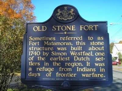
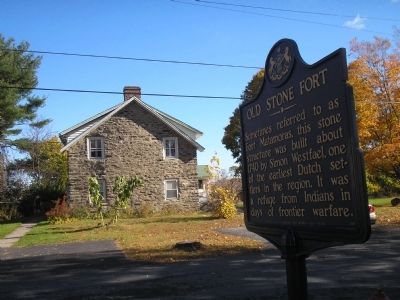
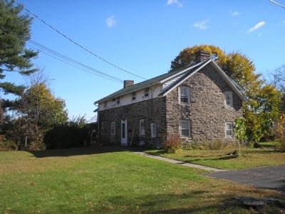
Old Stone Fort
Erected 1947 by Pennsylvania Historical and Museum Commission.
Topics and series. This historical marker is listed in these topic lists: Colonial Era • Native Americans • Notable Buildings. In addition, it is included in the Pennsylvania Historical and Museum Commission series list. A significant historical year for this entry is 1740.
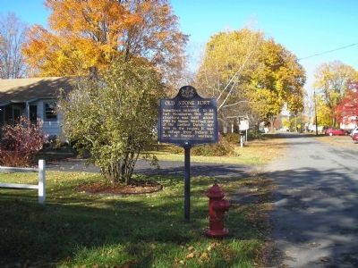
Location. 41° 22.078′ N, 74° 41.685′ W. Marker is in Matamoras, Pennsylvania, in Pike County. Marker is at the intersection of 1st Street and Avenue P, on the right when traveling east on 1st Street. Touch for map. Marker is in this post office area: Matamoras PA 18336, United States of America. Touch for directions.
Other nearby markers. At least 8 other markers are within walking distance of this marker. Mid-Delaware (approx. ¼ mile away); Delaware River (approx. ¼ mile away); Toll House (approx. 0.3 miles away in New York); The Erie Depot (approx. 0.3 miles away in New York); The War on Terrorism (approx. 0.3 miles away); Indian Wars (approx. 0.4 miles away); The Revolutionary War (approx. 0.4 miles away); The Silver Rose (approx. 0.4 miles away). Touch for a list and map of all markers in Matamoras.
Regarding Old Stone Fort. Research needed to see if Westfael is a variant of Westfall, the name of a nearby Township and a surname seen just across the New York border.
Credits. This page was last revised on March 17, 2022. It was originally submitted on October 25, 2009, by Bill Coughlin of Woodland Park, New Jersey. This page has been viewed 1,394 times since then and 46 times this year. Last updated on March 11, 2022, by Carl Gordon Moore Jr. of North East, Maryland. Photos: 1, 2, 3, 4. submitted on October 25, 2009, by Bill Coughlin of Woodland Park, New Jersey. • J. Makali Bruton was the editor who published this page.


