
Northwest Fork Hundred in Bridgeville in Sussex County, Delaware — The American Northeast (Mid-Atlantic)
Elizabeth Smith-Cornish
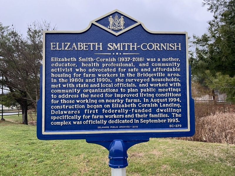
Photographed by Pete Skillman, March 17, 2022
1. Elizabeth Smith-Cornish Marker
Erected 2019 by Delaware Public Archives. (Marker Number SC-279.)
Topics and series. This historical marker is listed in these topic lists: African Americans • Agriculture • Charity & Public Work • Women. In addition, it is included in the Delaware Public Archives series list. A significant historical month for this entry is August 1994.
Location. 38° 44.397′ N, 75° 35.561′ W. Marker is in Bridgeville, Delaware, in Sussex County. It is in Northwest Fork Hundred. It is at the intersection
this page online

Regionally, this marker is in the American Mid-Atlantic, on the Delmarva Peninsula, and on the Eastern Seaboard. Globally, it is in the North Atlantic Region, North America, the Western Hemisphere, the Western World, and the Anglosphere. Historically, it finds itself in what was once New Netherland, one of the original Thirteen Colonies, and the Antebellum South.
Other nearby markers. At least 8 other markers are within 2 miles of this marker, measured as the crow flies: Bridgeville, Delaware (approx. half a mile away); Edward Redfield (approx. half a mile away); Old Bridgeville Firehouse (approx. half a mile away); Jack Lewis (approx. 0.6 miles away); a different marker also named Sudler House (approx. 0.6 miles away); Veterans Memorial (approx. 0.6 miles away); Phillis Wheatley School (approx. 0.9 miles away); Site of Jacobs School #143 (approx. 1.4 miles
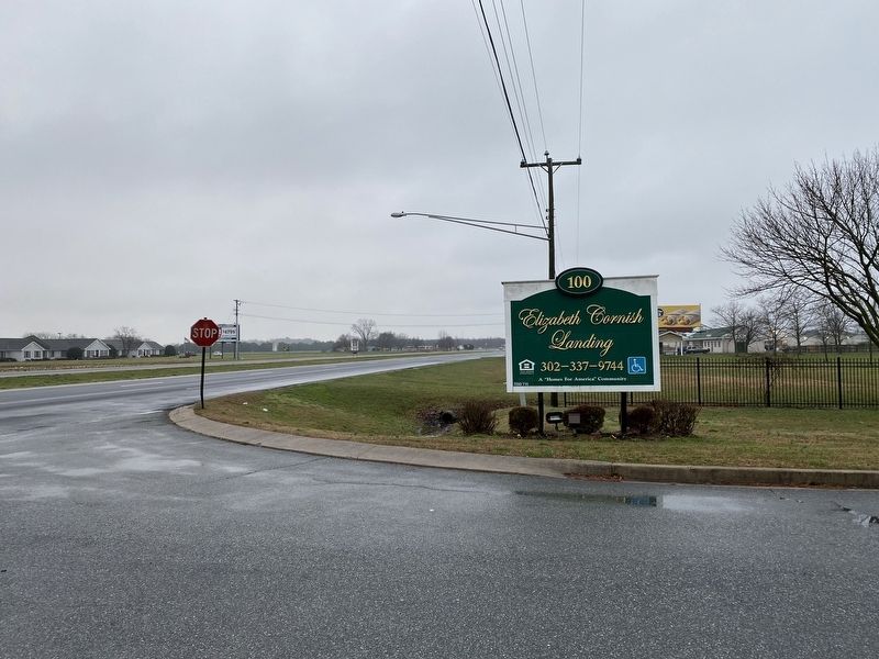
Photographed by Pete Skillman, March 17, 2022
2. Elizabeth Cornish Landing Complex Entrance
Another marker is no longer nearby. Sudler House (was approx. 0.6 miles away but has been replaced with another marker now near it).

Photographed by Pete Skillman, March 17, 2022
3. Houses in the Elizabeth Cornish Landing Complex
Credits. This page was last revised on June 5, 2026. It was originally submitted on March 17, 2022, by Pete Skillman of Townsend, Delaware. This page has been viewed 657 times since then and 22 times this year. Photos: 1, 2, 3. submitted on March 17, 2022, by Pete Skillman of Townsend, Delaware. • Devry Becker Jones was the editor who published this page.
