Spencerville in Leeds and Grenville United Counties, Ontario — Central Canada (North America)
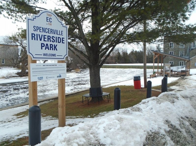
Spencerville Riverside Park
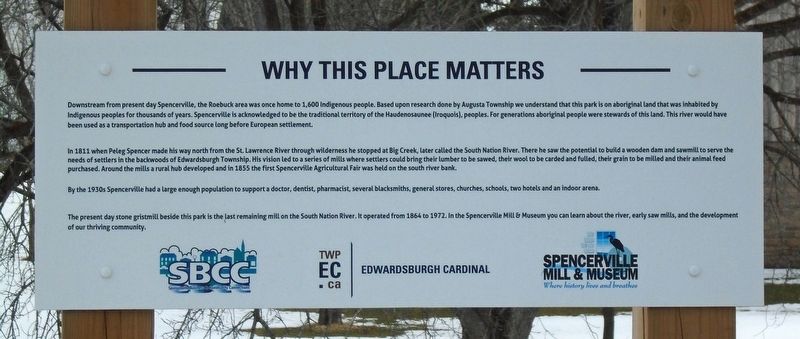
Why This Place Matters
Downstream from present day Spencerville, the Roebuck area was once home to 1,600 Indigenous people. Based upon research done by Augusta Township we understand that this park is on aboriginal land that was inhabited by Indigenous peoples for thousands of years. Spencerville is acknowledged to be the traditional territory of the Haudenosaunee (Iroquois) peoples. For generations aboriginal people were stewards of this land. This river would have been used as a transportation hub and food source long before European settlement.
In 1811 when Peleg Spencer made his way north from the St. Lawrence River through wilderness he stopped at Big Creek, later called the South Nation River. There he saw the potential to build a wooden dam and sawmill to serve the needs of settlers in the backwoods of Edwardsburgh Township. His vision led to a series of mills where settlers could bring their lumber to be sawed, their wool to be carded and fulled, their grain to be milled and their animal feed purchased. Around the mills a rural hub developed and in 1855 the first Spencerville Agricultural Fair was held on the south river bank.
By the 1930s Spencerville had a large enough population to support a doctor, dentist, pharmacist, several blacksmiths, general stores, churches, schools, two hotels and an indoor arena.
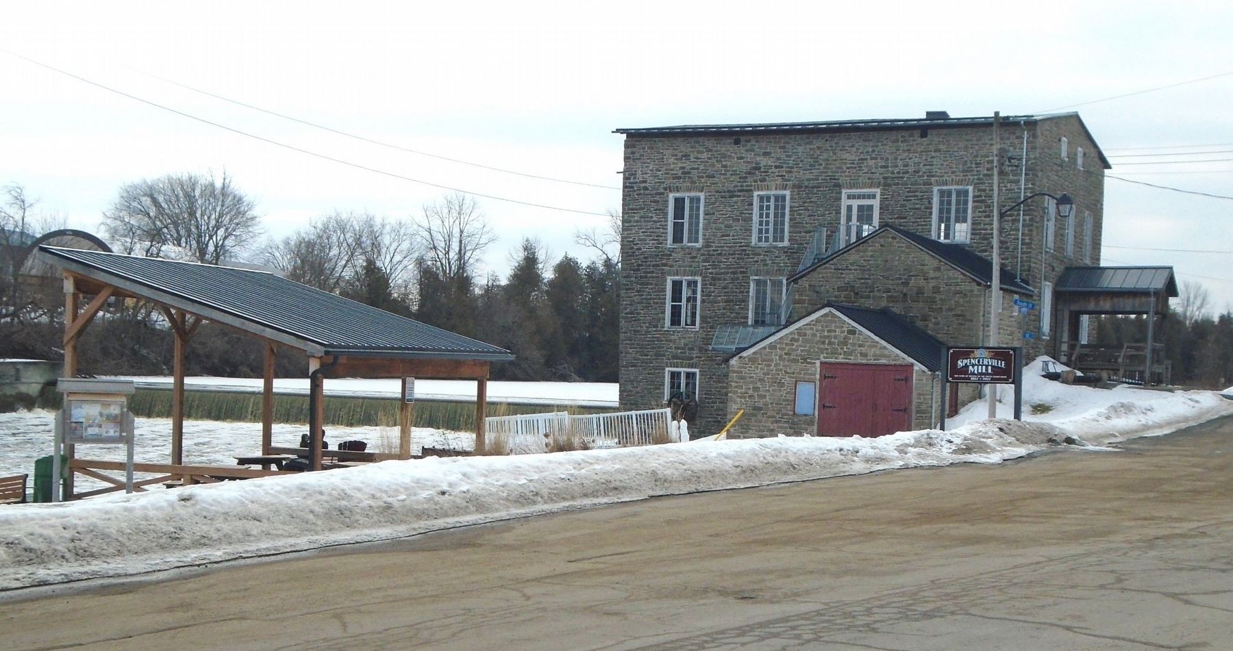
The present day stone gristmill beside this park is the last remaining mill on the South Nation River. It operated from 1864 to 1972. In the Spencerville Mill & Museum you can learn about the river, early saw mills, and the development of our thriving community.
Erected by Township of Edwardsburgh Cardinal, Spencerville Business & Community Connections, and Spencerville Mill & Museum.
Topics. This historical marker is listed in these topic lists: Native Americans • Parks & Recreational Areas • Settlements & Settlers • Waterways & Vessels. A significant historical year for this entry is 1811.
Location. 44° 50.523′ N, 75° 32.691′ W. Marker is in Spencerville, Ontario, in Leeds and Grenville United Counties. Marker is on Water Street south of Spencer Street (County Highway 44), on the left when traveling south. Touch for map. Marker is at or near this postal address: 11 Water Street, Spencerville ON K0E 1X0, Canada. Touch for directions.
Other nearby markers. At least 8 other markers are within 14 kilometers of this marker, measured as the crow flies. War Memorial (about 240 meters away, measured in a direct line); The Founding of Spencerville (approx. 0.2 kilometers away); Township Hall Clock (approx. 0.2 kilometers away); Roebuck Indian Village Site (approx. 5.5 kilometers away); Fort de Levis (approx. 12.4 kilometers away); Eastern Ontario's First Court House and Gaol (approx. 12.5 kilometers away); Johnstown 1789 (approx. 12.5 kilometers away); The Founding of Cardinal (approx. 14.2 kilometers away). Touch for a list and map of all markers in Spencerville.
Also see . . .
1. Township of Edwardsburgh Cardinal: About the Township. (Submitted on March 19, 2022, by William Fischer, Jr. of Scranton, Pennsylvania.)
2. Spencerville Mill & Museum: Our History. (Submitted on March 19, 2022, by William Fischer, Jr. of Scranton, Pennsylvania.)
Credits. This page was last revised on March 19, 2022. It was originally submitted on March 19, 2022, by William Fischer, Jr. of Scranton, Pennsylvania. This page has been viewed 326 times since then and 88 times this year. Photos: 1, 2, 3. submitted on March 19, 2022, by William Fischer, Jr. of Scranton, Pennsylvania.


