Hochatown in McCurtain County, Oklahoma — The American South (West South Central)
Hochatown, Oklahoma
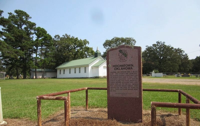
Original Hochatown was 5 miles east. The church and cemetery relocated during construction of Broken Bow Lake in 1965. Pre-historic hunters left spear points along the river 6000 B.C. Caddo Indians occupied this land from 1000 A.D. to 1791 A.D. Named for Choctaw Indian Hocha, who arrived on the Trail of Tears in 1833. White settlers moved here in 1900.
Erected 1997 by Oklahoma Historical Society. (Marker Number 230-1997.)
Topics and series. This historical marker is listed in these topic lists: Cemeteries & Burial Sites • Churches & Religion • Native Americans • Settlements & Settlers. In addition, it is included in the Oklahoma Historical Society series list. A significant historical year for this entry is 1965.
Location. 34° 9.22′ N, 94° 45.11′ W. Marker is in Hochatown, Oklahoma, in McCurtain County. Marker is at the intersection of U.S. 259 and Camp Ranch Road, on the right when traveling north on U.S. 259. Touch for map. Marker is in this post office area: Broken Bow OK 74728, United States of America. Touch for directions.
Other nearby markers. At least 1 other marker is within 9 miles of this marker, measured as the crow flies. Military Road - Choctaw Trail of Tears (approx. 8.9 miles away).
Credits. This page was last revised on March 20, 2022. It was originally submitted on March 20, 2022, by Jason Armstrong of Talihina, Oklahoma. This page has been viewed 645 times since then and 115 times this year. Photos: 1, 2. submitted on March 20, 2022, by Jason Armstrong of Talihina, Oklahoma. • J. Makali Bruton was the editor who published this page.

