Near Thurman in Fremont County, Iowa — The American Midwest (Upper Plains)
Possum Hollow Wildlife Management Area
Photographed by Cosmos Mariner, July 2, 2021
1. Possum Hollow Wildlife Management Area Marker
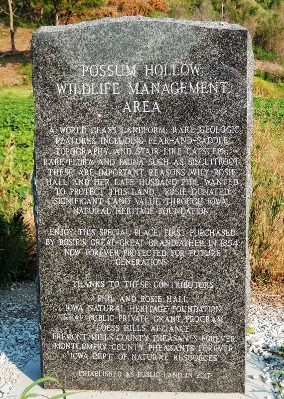
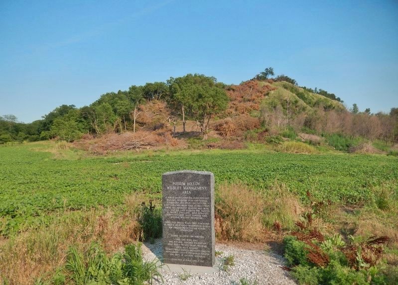
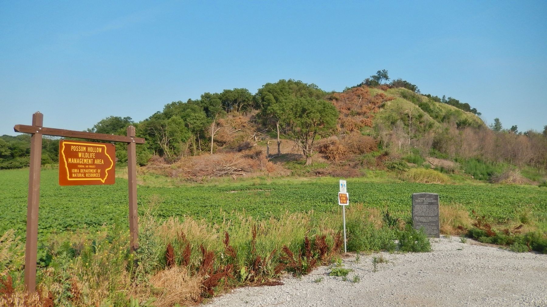
A world class landform; rare geologic features including peak-and-saddle topography and stair-like catsteps; rare flora and fauna such as biscuitroot. These are important reasons why Rosie Hall and her late husband Phil wanted to protect this land. Rosie donated significant land value through Iowa Natural Heritage Foundation.
Enjoy this special place, first purchased by Rosie’s great-great-grandfather in 1854, now forever protected for future generations.
Phil and Rosie Hall • Iowa Natural Heritage Foundation • REAP Public-Private Grant Program • Loess Hills Alliance • Fremont/Mills County Pheasants Forever • Montgomery County Pheasants Forever • Iowa Dept. of Natural Resources
Established as public land in 2017
Topics. This historical marker is listed in these topic lists: Charity & Public Work • Natural Features • Parks & Recreational Areas. A significant historical year for this entry is 1854.
Location. 40° 45.939′ N, 95° 44.37′ W. Marker is near Thurman, Iowa, in Fremont County. It is on Bluff Road (County Road L44) just south of 242 Avenue (185th Street), on the right when traveling
this page online

Regionally, this marker is in Western Iowa and in Loess Hills. It is also in the American Midwest, in the Lewis & Clark Corridor, and in the Corn Belt. Globally, it is in North America, the Western Hemisphere, the Western World, and the Anglosphere. Historically, it finds itself in what was once the territory of the Mississippian Culture and also the Louisiana Purchase.
Other nearby markers. At least 8 other markers are within 9 miles of this marker, measured as the crow flies: Fremont County Courthouse: Centennial Celebration (approx. 5 miles away); Last WWI Veteran, Sidney, Iowa (approx. 5.3 miles away); The Missouri River (approx. 8.3 miles away in Nebraska); Earth Lodge Villages (approx. 8.3 miles away in Nebraska); Barge / Keelboat (replica) (approx. 8.4 miles away in Nebraska); Hunter, Watchdog and Faithful Friend (approx. 8.4 miles away in Nebraska); Fort Kearney Block House (approx. 8½ miles away in Nebraska);
Photographed by Cosmos Mariner, July 2, 2021
2. Possum Hollow Wildlife Management Area Marker
Photographed by Cosmos Mariner, July 2, 2021
3. Possum Hollow Wildlife Management Area
Credits. This page was last revised on August 11, 2022. It was originally submitted on March 21, 2022, by Cosmos Mariner of Cape Canaveral, Florida. This page has been viewed 810 times since then and 82 times this year. Photos: 1, 2, 3. submitted on March 22, 2022, by Cosmos Mariner of Cape Canaveral, Florida.
