Frankfort in Franklin County, Kentucky — The American South (East South Central)
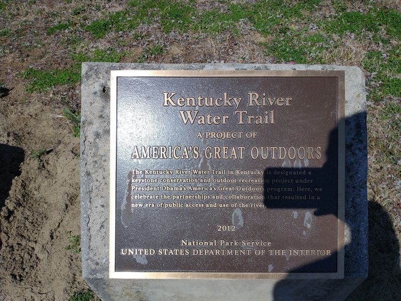
Kentucky River Water Trail
A Project Of America's Great Outdoors
Erected 2012 by National Park Service United States Department of The Interior.
Topics. This historical marker is listed in these topic lists: Parks & Recreational Areas • Waterways & Vessels.
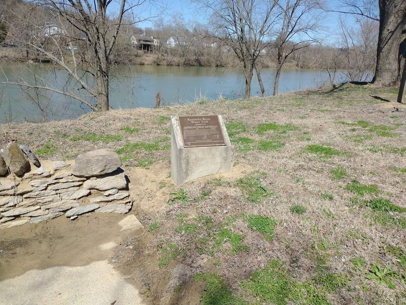
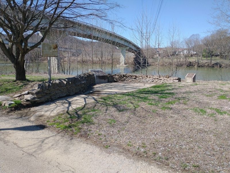
Location. 38° 12.244′ N, 84° 52.746′ W. Marker is in Frankfort, Kentucky, in Franklin County. Marker is on Wilkinson Boulevard, on the right when traveling south. Located in River View Park. Touch for map. Marker is in this post office area: Frankfort KY 40601, United States of America. Touch for directions.
Other nearby markers. At least 8 other markers are within walking distance of this marker. History of Kentucky's Formation (a few steps from this marker); List of CSO Points in Frankfort (a few steps from this marker); Fort Hill Overlooking the Kentucky River (within shouting distance of this marker); Gone But Not Forgotten – Frankfort’s “Craw” (within shouting distance of this marker); Plantation Era Fence (about 300 feet away, measured in a direct line); Kentucky Edge Fence (about 300 feet away); The R. T. Brooks Pavilion (about 300 feet away); Dry Stone Masonry in Kentucky (about 300 feet away). Touch for a list and map of all markers in Frankfort.
Credits. This page was last revised on March 17, 2024. It was originally submitted on March 25, 2022, by Craig Doda of Napoleon, Ohio. This page has been viewed 77 times since then and 10 times this year. Photos: 1, 2, 3. submitted on March 25, 2022, by Craig Doda of Napoleon, Ohio. • Mark Hilton was the editor who published this page.


