Frankfort in Franklin County, Kentucky — The American South (East South Central)
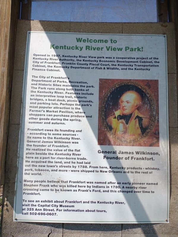
Welcome to Kentucky River View Park!
The City of Frankfort's Department of Parks, Recreation, and Historic Sites maintains the park. The Park runs along both banks of the Kentucky River. Features include an interpretive loop trail, historic bridges, a boat dock, picnic grounds, and parking lots. Perhaps the park's most popular attraction is the Farmer's Market Pavilion, where shoppers can purchase produce and other goods during the spring, summer and autumn.
Frankfort owes its founding and according to some sources - its name to the Kentucky River. General James Wiikinson was the founder of Frankfort. He realized the value of the flat plain beside the Kentucky River here as a port for river-borne trade. He acquired the land, and he had laid out the new town's streets by 1788. From here, Kentucky products - whiskey, pork, tobacco, and more - were shipped to New Orleans and to the rest of th? world.
Many people believe that Frankfort was named after an early pioneer named Stephen Frank who was killed here by Indians in 1780. A nearby river crossing came to be known as Frank's Ford, and this changed over time to Frankfort.
To see an exhibit about Frankfort and the Kentucky River, visit the Capital City Museum at 325 Ann Street. For information about tours, call 502-696-0607.
Topics. This historical marker is listed in these topic lists: Parks & Recreational Areas • Waterways & Vessels. A significant historical year for this entry is 1997.
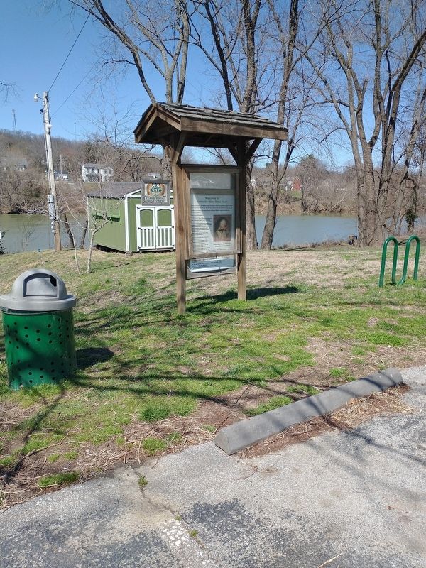
Location. 38° 12.31′ N, 84° 52.679′ W. Marker is in Frankfort, Kentucky, in Franklin County. Marker is on Wilkinson Boulevard, on the right when traveling south. Located in River View Park along the Kentucky River. Touch for map. Marker is in this post office area: Frankfort KY 40601, United States of America. Touch for directions.
Other nearby markers. At least 8 other markers are within walking distance of this marker. Locks and Dams (within shouting distance of this marker); Dry Stone Masonry in Kentucky (within shouting distance of this marker); Stone Arch Footbridge (within shouting distance of this marker); Fort Hill Overlooking the Kentucky River (about 400 feet away, measured in a direct line); Gone But Not Forgotten – Frankfort’s “Craw” (about 500 feet away); Kentucky River Water Trail (about 500 feet away); List of CSO Points in Frankfort (about 500 feet away); History of Kentucky's Formation (about 500 feet away). Touch for a list and map of all markers in Frankfort.
Credits. This page was last revised on March 26, 2022. It was originally submitted on March 25, 2022, by Craig Doda of Napoleon, Ohio. This page has been viewed 123 times since then and 22 times this year. Photos: 1, 2. submitted on March 25, 2022, by Craig Doda of Napoleon, Ohio. • Mark Hilton was the editor who published this page.

