Fenton in St. Louis County, Missouri — The American Midwest (Upper Plains)
Early Visitors
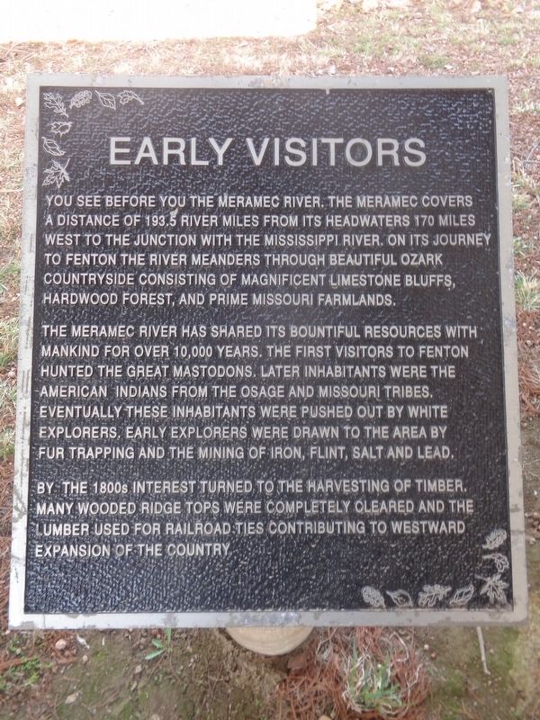
The Meramec River has shared its bountiful resources with mankind for over 10,000 years. The first visitors to Fenton hunted the great Mastodons. Later inhabitants were the American Indians from the Osage and Missouri tribes. Eventually these inhabitants were pushed out by white explorers. Early explorers were drawn to the area by fur trapping and the mining of iron, flint, salt and lead.
By the 1800s interest turned to the harvesting of timber. Many wooded ridge tops were completely cleared and the lumber used for railroad ties contributing to westward expansion of the country.
Topics. This historical marker is listed in these topic lists: Native Americans • Settlements & Settlers • Waterways & Vessels.
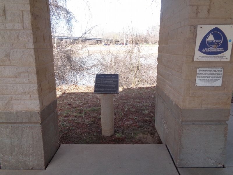
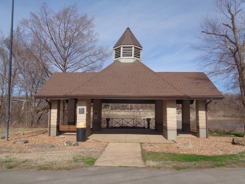
Location. 38° 30.873′ N, 90° 26.155′ W. Marker is in Fenton, Missouri, in St. Louis County. Marker is at the intersection of Water Street and Ferry Street, on the right when traveling east on Water Street. Marker is also located off the Meramec Greenway trail. Touch for map. Marker is at or near this postal address: 668 Larkin Williams Rd, Fenton MO 63026, United States of America. Touch for directions.
Other nearby markers. At least 8 other markers are within 3 miles of this marker, measured as the crow flies. Fenton (here, next to this marker); The Era of Abuse Through Use (here, next to this marker); Crossing the River (about 300 feet away, measured in a direct line); Meramec River Greenway - Fenton City Park (approx. ¾ mile away); Fallen Heroes Memorial (approx. ¾ mile away); Meramec River Greenway - Winter Park (approx. 0.8 miles away); George Greenamyer (American, born 1939) (approx. 2.3 miles away); Geoffrey Krawzyck (American, born 1978) (approx. 2.3 miles away). Touch for a list and map of all markers in Fenton.
Credits. This page was last revised on March 26, 2022. It was originally submitted on March 26, 2022, by Jason Voigt of Glen Carbon, Illinois. This page has been viewed 187 times since then and 24 times this year. Photos: 1, 2, 3. submitted on March 26, 2022, by Jason Voigt of Glen Carbon, Illinois.


