McLean in Fairfax County, Virginia — The American South (Mid-Atlantic)
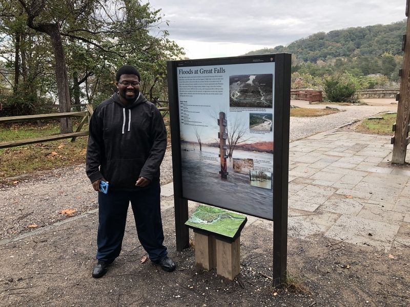
Floods at Great Falls
Great Falls Park
— National Park Service, U.S. Department of the Interior —
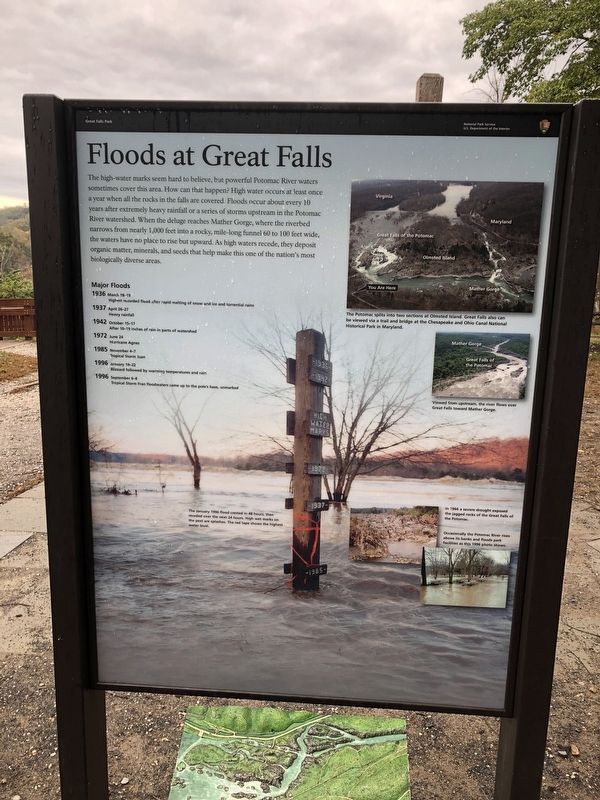
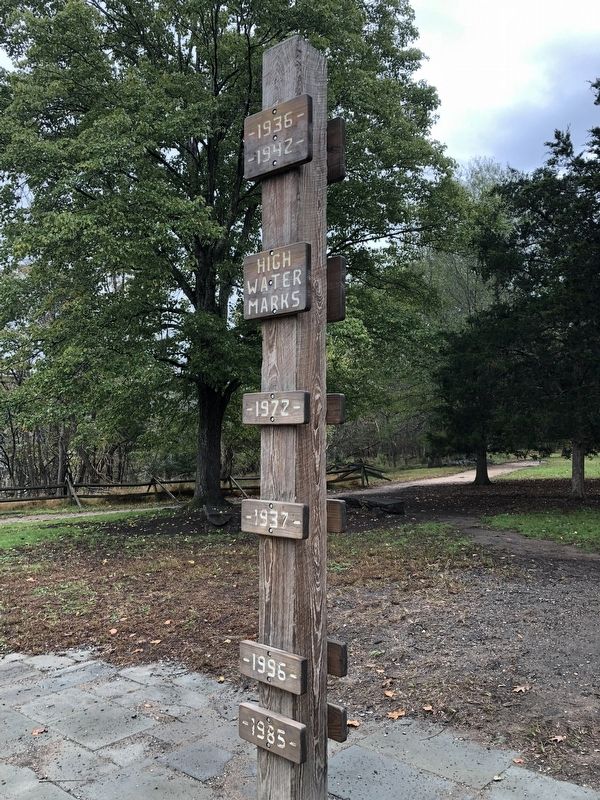
The high-water marks seem hard to believe, but powerful Potomac River waters sometimes cover this area. How can that happen? High water occurs at least once a year when all the rocks in the falls are covered. Floods occur about every 10 years after extremely heavy rainfall or a series of storms upstream in the Potomac River watershed. When the deluge reaches Mather Gorge, where the riverbed narrows from nearly 1,000 feet into a rocky, mile-long funnel 60 to 100 feet wide, the waters have no place to rise but upward. As high waters recede, they deposit organic matter, minerals, and seeds that help make this one of the nation's most biologically diverse areas.
Major Floods
1936 March 18-19: Highest Recorded flood after rapid melting of snow and ice and torrential rains
1937 April 26-27: Heavy rainfall
1942 October 15-17: After 10-19 inches of rain in parts of watershed
1972 June 24: Hurricane Agnes
1985 November 4-7: Tropical Storm Juan
1996 January 19-22: Blizzard followed by warming temperatures and rain
1996 September 6-8: Tropical Storm Fran floodwaters came up to the pole's base, unmarked.
[Captions - clockwise from top:]
The Potomac splits into two sections at Olmsted Island. Great Falls also can be viewed via a trail and bridge at the Chesapeake and Ohio Canal National Historical Park in Maryland.
Viewed from upstream, the river flows into Great Falls toward Mather Gorge.
In 1966 a severe drought exposed the jagged rocks of the Great Falls of the Potomac.
Occasionally the Potomac River rises above its banks and floods park facilities as this 1996 photo shows.
This January 1996 flood crested in 48 hours, then receded over the next 24 hours. High wet marks on the post are splashes. The red tape shows the highest water level.
Erected by National Park Service, U.S. Department of the Interior.
Topics. This historical marker is listed in these topic lists: Disasters • Parks & Recreational Areas • Waterways & Vessels. A significant historical year for this entry is 1936.
Location. 38° 59.682′ N, 77° 15.204′ W. Marker is in McLean, Virginia, in Fairfax County. Marker is on Old Carriage Road north of River Trail, on the right when traveling north. Touch for map. Marker is at or near this postal address: 9200 Old Dominion Drive, Mc Lean VA 22102, United States of America. Touch for directions.
Other nearby markers. At least 8 other markers are within walking distance of this marker. Patowmack Canal (within shouting distance of this marker); a different

Photographed By Devry Becker Jones (CC0), October 20, 2018
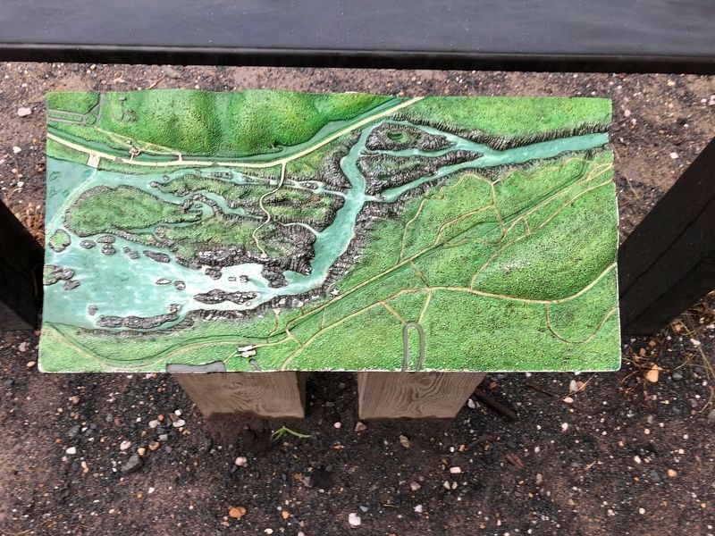
4. Model of the Potomac River at Great Falls
Credits. This page was last revised on March 28, 2022. It was originally submitted on October 22, 2018, by Devry Becker Jones of Washington, District of Columbia. This page has been viewed 1,638 times since then and 264 times this year. Last updated on March 28, 2022, by Connor Olson of Kewaskum, Wisconsin. Photos: 1, 2, 3, 4. submitted on October 22, 2018, by Devry Becker Jones of Washington, District of Columbia.


