Marker Logo HMdb.org THE HISTORICAL
MARKER DATABASE
“Bite-Size Bits of Local, National, and Global History”
Mansfield in Tarrant County, Texas — The American South (West South Central)
 

Cumberland Presbyterian Cemetery


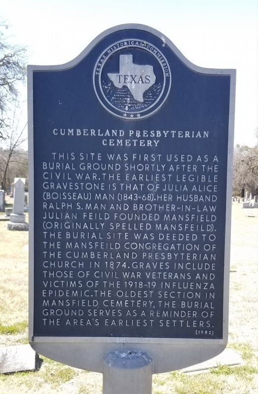
Cumberland Presbyterian Cemetery Marker image. Click for full size.
Photographed By James Hulse, March 25, 2022
1. Cumberland Presbyterian Cemetery Marker
Inscription. This site was first used as a burial ground shortly after the Civil War. The earliest legible gravestone is that of Julia Alice (Boisseau) Man (1843-68). Her husband Ralph S. Man and brother-in-law Julian Feild founded Mansfield (originally spelled Mansfeild). The burial site was deeded to the Mansfeild Congregation of the Cumberland Presbyterian Church in 1874. Graves include those of Civil War veterans and victims of the 1918-19 Influenza Epidemic. The oldest section in Mansfield Cemetery, the burial ground serves as a reminder of the area's earliest settlers.
 
Erected 1982 by Texas Historical Commission. (Marker Number 1130.)
 
Topics. This historical marker is listed in these topic lists: Cemeteries & Burial SitesDisastersWomen. A significant historical year for this entry is 1874.
 
Location. 32° 33.541′ N, 97° 9.009′ W. Marker is in Mansfield, Texas, in Tarrant County. Marker can be reached from the intersection of West Kimball Street and Burl Ray Road. The marker is located in the western section of the Mansfield Cemetery. Touch for map. Marker is in this post office area: Mansfield TX 76063, United States of America. Touch for directions.
 
Other nearby markers. At least 8 other markers are within walking distance of this marker. Ralph Sandiford Man (approx. 0.4 miles away); Ralph Man Homestead (approx. 0.4 miles away); History of the Man House
Paid Advertisement
Click on the ad for more information.
Please report objectionable advertising to the Editor.
Click or scan to see
this page online
(approx. 0.4 miles away); Man's Barn and Land (approx. 0.4 miles away); Mansfeild Mill (approx. 0.6 miles away); Nugent-Hart House (approx. 0.8 miles away); John C. Collier Home (approx. 0.8 miles away); St. Jude Catholic Church (approx. 0.8 miles away). Touch for a list and map of all markers in Mansfield.
 
Also see . . .  Mansfield, TX. Texas State Historical Association - Handbook of Texas (Submitted on March 28, 2022, by James Hulse of Medina, Texas.) 
 
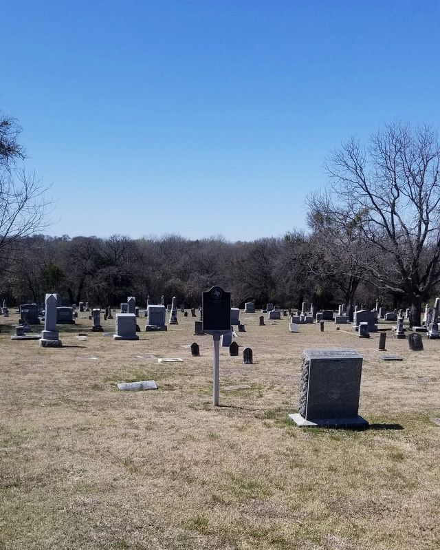
The Marker in the Mansfield City Cemetery image. Click for full size.
Photographed By James Hulse, March 25, 2022
2. The Marker in the Mansfield City Cemetery
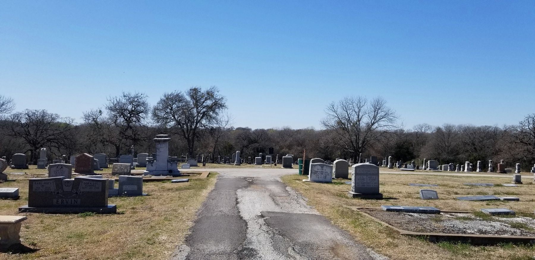
The view of the marker driving east down the main cemetery road image. Click for full size.
Photographed By James Hulse, March 25, 2022
3. The view of the marker driving east down the main cemetery road
 
 
Credits. This page was last revised on March 28, 2022. It was originally submitted on March 28, 2022, by James Hulse of Medina, Texas. This page has been viewed 206 times since then and 36 times this year. Photos:   1, 2, 3. submitted on March 28, 2022, by James Hulse of Medina, Texas.
Share this page.  
Share on Tumblr
m=194520

CeraNet Cloud Computing sponsors the Historical Marker Database.
This website earns income from purchases you make after using our links to Amazon.com. We appreciate your support.
Paid Advertisement
Apr. 25, 2024