Frederick in Frederick County, Maryland — The American Northeast (Mid-Atlantic)
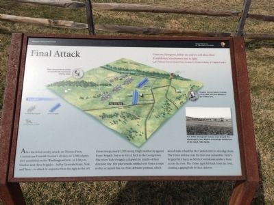
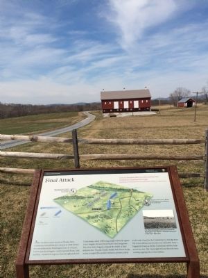
Final Attack
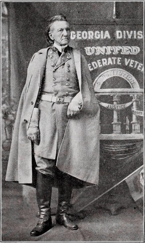
Confederate General Clement Evans (As heard by Private N. Harris, 16th Virginia Cavalry)
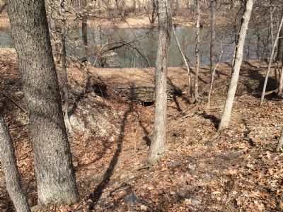
After the failed cavalry attacks on Thomas Farm, Confederate General Gordon's division of 3,500 infantry men assembled on the Worthington Farm. At 3:30 p.m., Gordon sent three brigades—led by Generals Evans, York, and Terry—to attack in sequence from the right to the left.
Union troops, nearly 3,200 strong, fought stubbornly against Evans' brigade, but were forced back to the Georgetown Pike when York's brigade collapsed the middle of their defensive line. The Pike's banks swelled with Union troops as they occupied this excellent defensive position, which would make it hard for the Confederates to dislodge them. The Union defense near the river was vulnerable. Terry's brigade hit it hard, as did the Confederate artillery from across the river. The Union right fell back from the river, creating a gaping hole in their defense.
(captions)
(upper left) Major General John B. Gordon commanded the Confederate infantry attack.
(middle right) Brigadier General James B. Ricketts commanded the Union defense at the Thomas Farm.
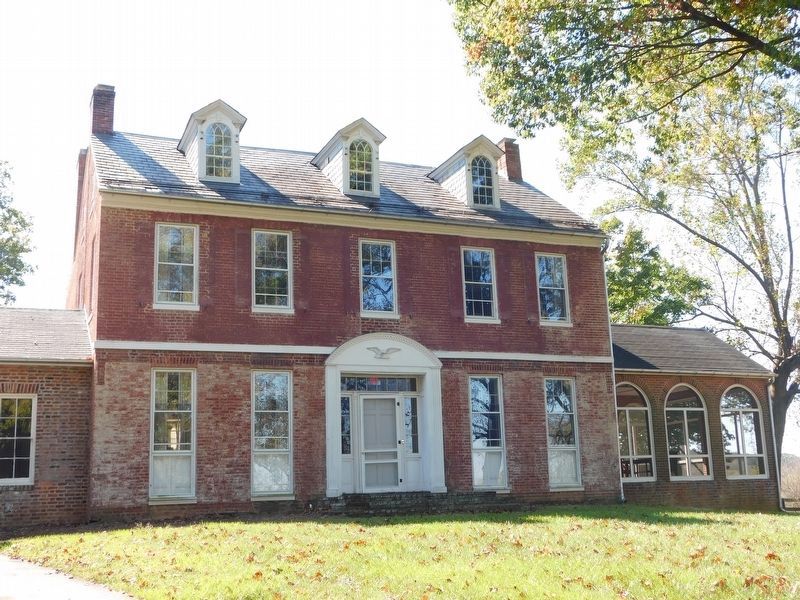
(lower right) This 1940s photograph looking west toward the Worthington Farm depicts a landscape reminiscent of the July 9, 1864 battle.
Erected by Monocacy National Battlefield—National Park Service—U.S. Department of the Interior.
Topics. This historical marker is listed in this topic list: War, US Civil. A significant historical date for this entry is July 9, 1963.
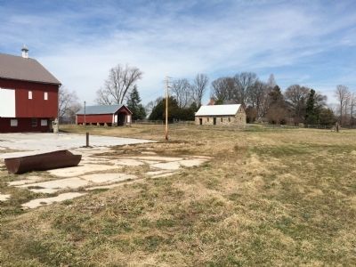
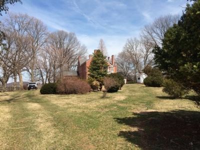
Location. 39° 21.426′ N, 77° 23.447′ W. Marker is in Frederick, Maryland, in Frederick County. Marker is on Baker Valley Road, 0.3 miles south of Araby Church Road, on the right when traveling south. This marker is located on the grounds of the Thomas Farm, stop 4 on the Auto-Tour route. Touch for map. Marker is at or near this postal address: 4501 Baker Valley Road, Frederick MD 21704, United States of America. Touch for directions.
Other nearby markers. At least 8 other markers are within walking distance of this marker. Civilians Under Siege (here, next to this marker); 10th Vermont Monument (approx. 0.3 miles away); State of Pennsylvania Monument (approx. 0.3 miles away); Final Stand (approx. 0.3 miles away); Clustered Spires of Frederick (approx. half a mile away); History of the Monocacy River Valley (approx. half a mile away); The Battle That Saved Washington (approx. half a mile away); Ambush (approx. 0.7 miles away). Touch for a list and map of all markers in Frederick.
More about this marker. This marker replaced an older marker at this location, titled "Federal Retreat" (see nearby markers)
Also see . . . Monocacy National Battlefield. National Park Service (Submitted on April 5, 2015.)
Credits. This page was last revised on April 4, 2022. It was originally submitted on April 4, 2015, by Shane Oliver of Richmond, Virginia. This page has been viewed 608 times since then and 14 times this year. Last updated on March 28, 2022, by Connor Olson of Kewaskum, Wisconsin. Photos: 1, 2, 3, 4, 5, 6. submitted on April 4, 2015, by Shane Oliver of Richmond, Virginia. 7. submitted on August 31, 2020, by Allen C. Browne of Silver Spring, Maryland. 8. submitted on April 16, 2021, by Bradley Owen of Morgantown, West Virginia. • Bernard Fisher was the editor who published this page.
