Araby View near Frederick in Frederick County, Maryland — The American Northeast (Mid-Atlantic)
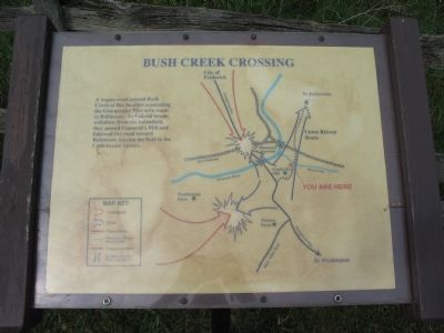
Bush Creek Crossing
Photographed by Craig Swain, September 9, 2007
1. Bush Creek Crossing Marker
Topics. This historical marker is listed in this topic list: War, US Civil.
Location. This marker has been replaced by another marker nearby. It was located near 39° 22.131′ N, 77° 23.138′ W. Marker was near Frederick, Maryland, in Frederick County. It was in Araby View. It could be reached from Urbana Pike (State Highway 355), on the right when traveling north. Located along a walking trail at the Gambrill Mill (stop five on the driving tour of Monocacy Battlefield), which on a lane off the right side (east) of Urbana Pike. The marker is located on an overlook of Bush Creek. Touch for map. Marker was at or near this postal address: 4823 Urbana Pike, Frederick MD 21704, United States of America. Touch for directions.

Regionally, this marker was in the Washington Metropolitan Area and in Central Maryland.
this page online
Other nearby markers. At least 8 other markers are within walking distance of this location: Retreat (a few steps from this marker); Monocacy Battlefield (about 700 feet away); Desperate Escape (about 700 feet away); Burning the Bridge (about 700 feet away); a different marker also named A Bold Plan (about 800 feet away); Edgewood (about 800 feet away); CPL Kirk J Bosselmann (approx. 0.3 miles away); a different marker also named A Bold Plan (approx. 0.3 miles away). Touch for a list and map of all markers in Frederick.
Other markers no longer nearby. Gambrill House (was about 700 feet away, measured in a direct line but has been permanently removed); Monocacy National Battlefield (was about 700 feet away but has been replaced with another marker now near it); a different marker also named Monocacy National Battlefield (was about 700 feet away but has been replaced
Photographed by Craig Swain, January 29, 2007
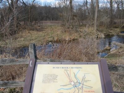
2. Looking Across Bush Creek
More about this marker. The marker displays a map illustrating the tactical situation late in the battle of Monocacy, July 9, 1864.
This marker was replaced by a new one named Retreat (see nearby markers).
Also see . . . Battle of Monocacy. National Parks Service site. (Submitted on November 3, 2007, by Craig Swain of Leesburg, Virginia.)
Photographed by Craig Swain, September 9, 2007
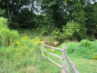
3. Another View across Bush Creek
This photo was taken close to the anniversary of the battle, and the vegetation is somewhat as would have been during the battle.
Photographed by Craig Swain, September 9, 2007
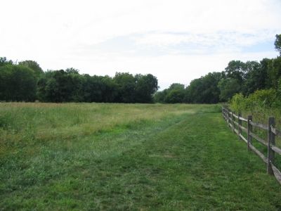
4. Wagon Path
From this view, closer to Gambrill Mill, the path of the old wagon path stands out as a portion of the walking trail.
Credits. This page was last revised on May 12, 2022. It was originally submitted on November 3, 2007, by Craig Swain of Leesburg, Virginia. This page has been viewed 1,862 times since then and 36 times this year. Last updated on March 28, 2022, by Connor Olson of Menomonee Falls, Wisconsin. Photos: 1, 2, 3, 4. submitted on November 3, 2007, by Craig Swain of Leesburg, Virginia. • J. Makali Bruton was the editor who published this page.
