Araby View near Frederick in Frederick County, Maryland — The American Northeast (Mid-Atlantic)
The Lost Order
Shrouded in a Cloak of Mystery
| — | Antietam Campaign 1862 | — |

Photographed by Connor Olson, March 22, 2022
1. The Lost Order Marker
After crossing the Potomac River early in September 1862, Confederate Gen. Robert E. Lee reorganized the Army of Northern Virginia into three separate wings. On September 9, he promulgated his campaign strategy from his camp here. The strategy—to divide his army, send Gen. Thomas J. "Stonewall" Jackson to attack Harpers Ferry, and send Gen. James Longstreet toward Hagerstown—was described in Special Orders No. 191, seven copies of which were distributed to his senior subordinates.
Gen. D.H. Hill received a copy through Jackson, but Lee's headquarters sent Hill a second copy that he was not expecting. Placed in an envelope with two cigars, this copy was lost en route to Hill. On September 13, Co. F, 27th Indiana Infantry, stacked arms and rested near the Georgetown Pike just south of Frederick. A soldier found the envelope. It soon reached Gen. George B. McClellan, who jubilantly exclaimed that he held the Confederate battle plan in his hands!
The available evidence does not indicate exactly where the orders were found but suggests the Best Farm, which occupied the ground for a mile north from here. McClellan had
this page online
(captions)
"Rebel Cavalry crossing the Georgetown Turnpike bridge…near Frederick Junction” Courtesy Library of Congress
The Lost Order - Courtesy Library of Congress
(sidebar)
Frederick Junction was a small community located here, 3 miles south of the city of Frederick, during the war, The Baltimore and Ohio Railroad, connecting Baltimore with West Virginia, and the main road south to Washington, D.C., crossed the Monocacy River at this point. Union troops were posted here to protect the junction and its bridges. The Federals also crossed the Monocacy here in 1863 on their way north to Gettysburg. In 1864, Union Gen. Lew Wallace delayed Confederate Gen. Jubai A. Early's raid on Washington, D.C., in a pivotal struggle here.
Erected by Maryland Civil War Trails.
Topics and series. This historical marker is listed in these topic lists: Communications • War, US Civil. In addition, it is included in the Maryland Civil War Trails series list. A significant historical date for this entry is September 13, 1862.
Location. 39° 22.236′ N,

Photographed by Allen C. Browne, August 13, 2022
2. The Lost Order and Antietam Campaign Markers

Regionally, this marker is in the Washington Metropolitan Area and in Central Maryland. It is also in the American Mid-Atlantic. Globally, it is in North America, the Western Hemisphere, the Western World, and the Anglosphere. Historically, it finds itself in what was once one of the original Thirteen Colonies and also the Antebellum South.
Other nearby markers. At least 8 other markers are within walking distance of this marker: 1862 Antietam Campaign (here, next to this marker); L'Hermitage (here, next to this marker); Caught in the Crossfire (here, next to this marker); 14th New Jersey Infantry Regiment (approx. 0.3 miles away); Commemoration (approx. 0.3 miles away); Federals Take a Stand (approx. 0.4 miles away); Nick of Time (approx.
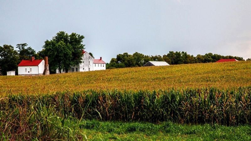
via National Park Service, unknown
3. Best farm
National Park service website entry
Click for more information.
Click for more information.
Other markers no longer nearby. Confederates Invade Maryland (was here, next to this marker but has been reported to have been replaced with another marker now near it); Best Family Farm (was here, next to this marker but has been reported to have been replaced with another marker now near it).
Also see . . . Special Order 191. Wikipedia entry (Submitted on November 7, 2024, by Larry Gertner of New York, New York.)

Photographed by Allen C. Browne, August 13, 2022
4. The Lost Order

Photographed by Allen C. Browne, August 13, 2022
5. Lost Order Map
You are Here
You are Here
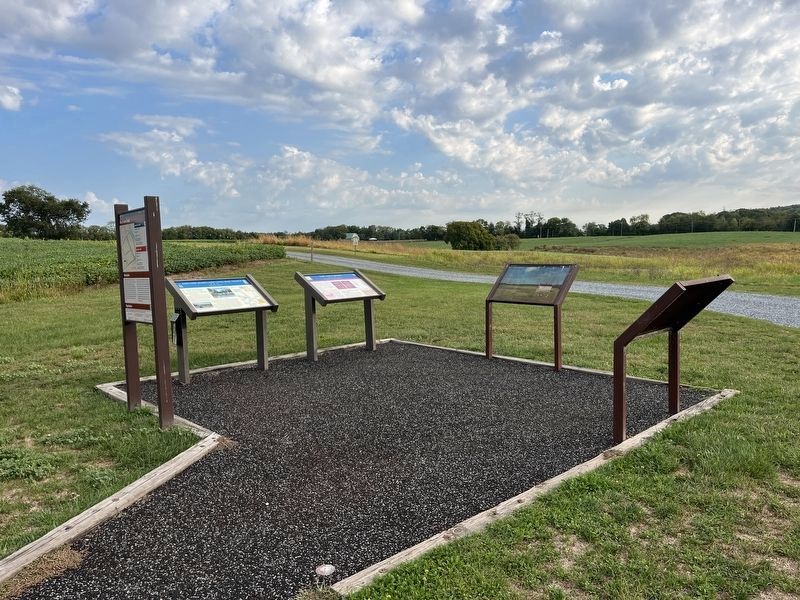
Photographed by Adam Margolis, September 20, 2025
6. The Lost Order Marker
Credits. This page was last revised on September 22, 2025. It was originally submitted on March 28, 2022, by Connor Olson of Menomonee Falls, Wisconsin. This page has been viewed 544 times since then and 40 times this year. Photos: 1. submitted on March 28, 2022, by Connor Olson of Menomonee Falls, Wisconsin. 2. submitted on August 14, 2022, by Allen C. Browne of Silver Spring, Maryland. 3. submitted on November 7, 2024, by Larry Gertner of New York, New York. 4, 5. submitted on August 14, 2022, by Allen C. Browne of Silver Spring, Maryland. 6. submitted on September 21, 2025, by Adam Margolis of Mission Viejo, California. • Bernard Fisher was the editor who published this page.
