West Bradford Township near West Chester in Chester County, Pennsylvania — The American Northeast (Mid-Atlantic)
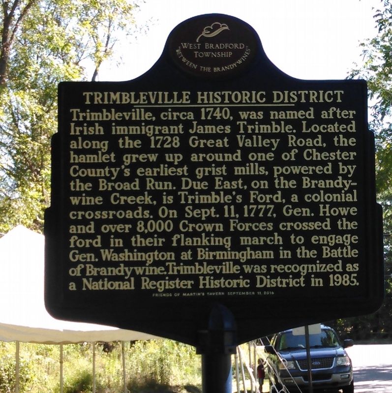
Trimbleville Historic District
West Bradford Township
— “Between the Brandywines” —
Erected 2016 by Friends of Martins Tavern, September 11, 2016.
Topics. This historical marker is listed in these topic lists: Colonial Era • Industry & Commerce • War, US Revolutionary • Waterways & Vessels. A significant historical date for this entry is September 11, 1777.
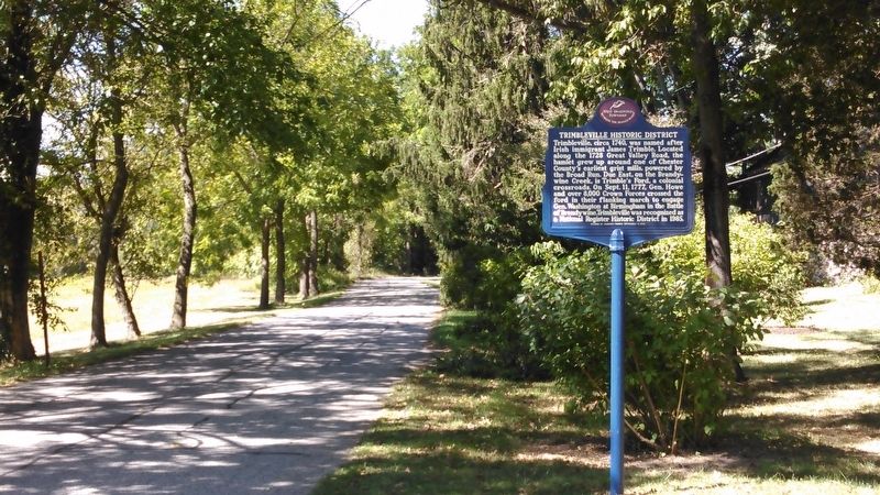
Location. 39° 55.907′ N, 75° 41.136′ W. Marker is near West Chester, Pennsylvania, in Chester County. It is in West Bradford Township. Marker is at the intersection of Broad Run Road and Northbrook Road, on the right when traveling west on Broad Run Road. Touch for map. Marker is at or near this postal address: 311 Broad Run Rd, West Chester PA 19382, United States of America. Touch for directions.
Other nearby markers. At least 8 other markers are within 2 miles of this marker, measured as the crow flies. Trimble's Ford (approx. 0.3 miles away); Indian Rock (approx. 0.6 miles away); Lenni-Lenape Indian Burial Ground (approx. 0.8 miles away); Cabin of Indian Hannah (approx. 1.1 miles away); The Marshallton Historic District (approx. 1.1 miles away); Nathan Simms (approx. 1.2 miles away); Tavern Fare (approx. 1.3 miles away); Martin's Tavern and The Battle of Brandywine (approx. 1.3 miles away). Touch for a list and map of all markers in West Chester.
Related markers. Click here for a list of markers that are related to this marker.
Additional keywords. Revolution
Credits. This page was last revised on February 7, 2023. It was originally submitted on September 14, 2016, by Keith S Smith of West Chester, Pennsylvania. This page has been viewed 836 times since then and 28 times this year. Last updated on March 29, 2022, by Carl Gordon Moore Jr. of North East, Maryland. Photos: 1, 2. submitted on September 14, 2016, by Keith S Smith of West Chester, Pennsylvania. • J. Makali Bruton was the editor who published this page.

