Lexington in Fayette County, Kentucky — The American South (East South Central)
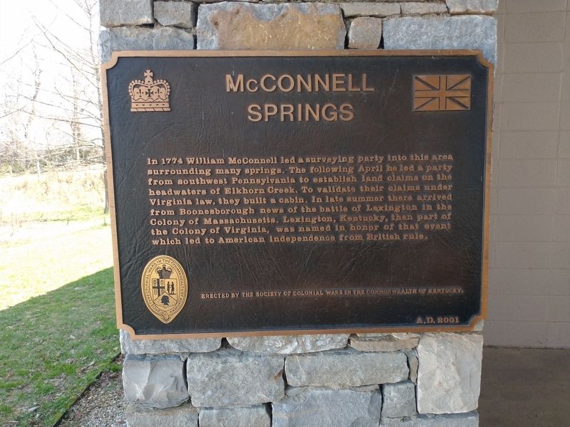
McConnell Springs
Erected 2001 by the Society of Colonial Wars in the Commonwealth of Kentucky.
Topics. This historical marker is listed in these topic lists: Exploration • Parks & Recreational Areas. A significant historical year for this entry is 1774.
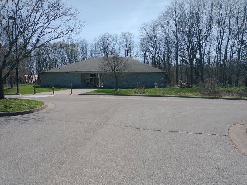
Location. 38° 3.306′ N, 84° 31.669′ W. Marker is in Lexington, Kentucky, in Fayette County. Marker is on Rebmann Lane, 0.1 miles south of Cahill Drive, on the right when traveling east. Touch for map. Marker is at or near this postal address: 416 Rebmann Ln, Lexington KY 40504, United States of America. Touch for directions.
Other nearby markers. At least 8 other markers are within walking distance of this marker. McConnell Springs Park (within shouting distance of this marker); Building Foundation (approx. 0.2 miles away); Bur Oak (approx. 0.2 miles away); Rock Fence (approx. 0.2 miles away); Lexington Named / Lexington Settled (approx. 0.2 miles away); Barn Foundation (approx. 0.2 miles away); Rock Quarry (approx. 0.2 miles away); Preston's Cave Spring (approx. ¾ mile away). Touch for a list and map of all markers in Lexington.
Credits. This page was last revised on March 30, 2022. It was originally submitted on March 29, 2022, by Craig Doda of Napoleon, Ohio. This page has been viewed 111 times since then and 20 times this year. Photos: 1, 2. submitted on March 29, 2022, by Craig Doda of Napoleon, Ohio. • Mark Hilton was the editor who published this page.

