
Cardinal Valley in Lexington in Fayette County, Kentucky — The American South (East South Central)
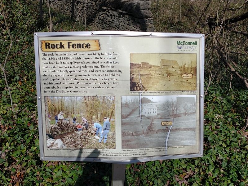
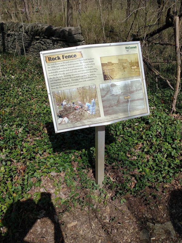
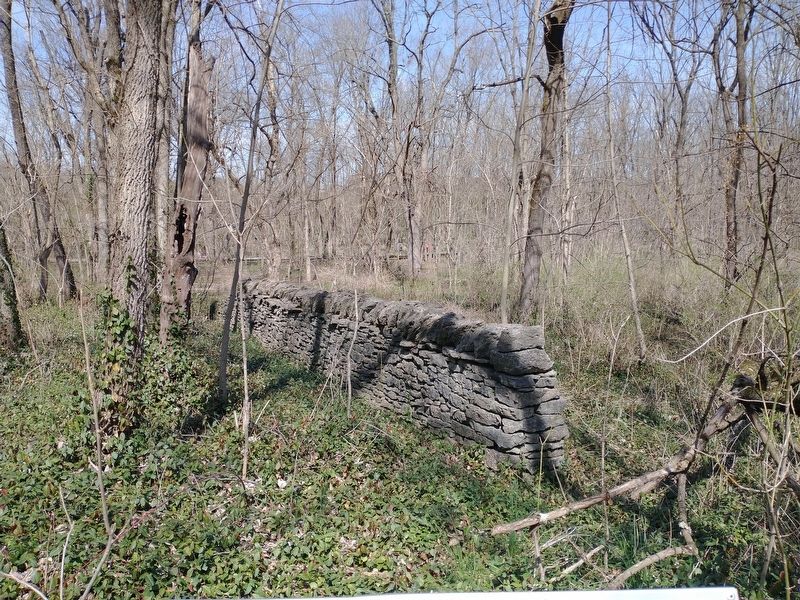
Rock Fence
Photographed by Craig Doda, March 21, 2022
1. Rock Fence Marker
1901 Photograph of Cahill tobacco barn and stone barn, with rock fence, now McConnell Springs.
Dry Stone Conservancy volunteers working on rock fence restoration at McConnell Springs.
1950s photograph of McConnell Springs, with existing rock fences (Photo by Robert T. Taylor, Jr.)
Funded in part by the Friends of McConnell Springs and the Society of Colonial Wars in the Commonwealth of Kentucky
Erected by the Society of Colonial Wars in the Commonwealth of Kentucky Lexington-Fayette Urban County Government Parks & Recreation.
Topics. This historical
this page online
Location. 38° 3.224′ N, 84° 31.848′ W. Marker is in Lexington, Kentucky, in Fayette County. It is in Cardinal Valley. It can be reached from Rebmann Lane. Located deep within the 26-acre McConnell Springs Park (about a 1500 foot walk). Touch for map. Marker is in this post office area: Lexington KY 40502, United States of America. Touch for directions.

Regionally, this marker is in Kentucky’s Bluegrass Region. It is also in the American South and specifically in the Upper South. Globally, it is in North America, the Western Hemisphere, the Western World, and the Anglosphere. Historically, it finds itself in what was once the territory of the Mississippian Culture and also the Antebellum South.
Other nearby markers. At least 8 other markers are within walking distance of this marker: Barn Foundation (within shouting distance of this marker); Rock Quarry (within shouting distance of this marker); Bur Oak (within shouting distance of this marker); Building Foundation (within shouting distance of this marker);
Photographed by Craig Doda, March 21, 2022
2. Rock Fence Marker
Photographed by Craig Doda, March 21, 2022
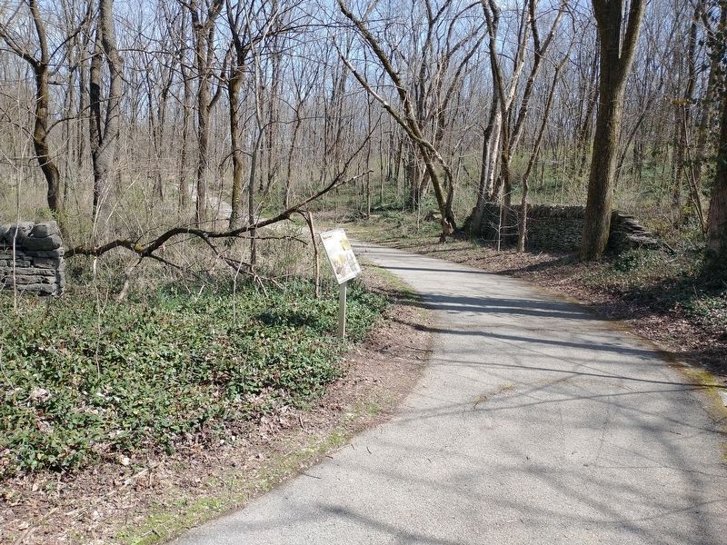
3. Rock Fence Marker
Photographed by Craig Doda, March 21, 2022
4. Rock Fence Marker
Credits. This page was last revised on February 12, 2023. It was originally submitted on March 29, 2022, by Craig Doda of Napoleon, Ohio. This page has been viewed 705 times since then and 46 times this year. Photos: 1, 2, 3, 4. submitted on March 29, 2022, by Craig Doda of Napoleon, Ohio. • Mark Hilton was the editor who published this page.
