Death Valley National Park in Inyo County, California — The American West (Pacific Coastal)
Star Wars Canyon
Military Training
| — | Rainbow Canyon | — |
Photographed by Craig Baker, March 29, 2022
1. Star Wars Canyon Marker
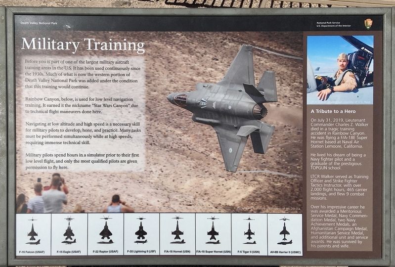
Before you is part of one of the largest military aircraft training areas in the U.S. It has been used continuously since the 1930s. Much of what is now the western portion of Death Valley National Park was added under the condition that this training would continue.
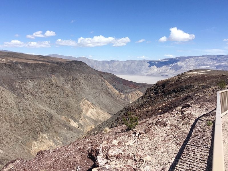
Rainbow Canyon, below, is used for low level navigation training. It earned it the nickname "Star Wars Canyon" due to technical flight maneuvers done here.
Navigating at low altitude and high speed is a necessary skill for military pilots to develop, hone, and practice. Many tasks must be performed simultaneously while at high speeds, requiring immense technical skill.
Military pilots spend hours in a simulator prior to their first low level flight, and only the most qualified pilots are given permission to fly here.
A Tribute to a Hero
On July 31, 2019, Lieutenant Commander Charles Z. Walker died in a tragic training accident in Rainbow Canyon. He was flying a F/A-18E Super Hornet based at Naval Air Station Lemoore, California.
He lived his dream of being a Navy fighter pilot and a graduate of the prestigious Top Gun school.
LtCr Walker served as Training Officer and Strike Fighter Tactics Instructor,
this page online
Over his impressive career he was awarded a Meritorious Service Medal, Navy Commendation Medal, two Navy Achievement Medals, an Afghanistan Campaign Medal, Humanitarian Service Medal, and additional unit and service awards. He was survived by his parents and wife.
Erected 2020 by Death Valley National Park.
Topics. This historical marker is listed in these topic lists: Air & Space • Military • Natural Features • Parks & Recreational Areas. A significant historical date for this entry is July 31, 2019.
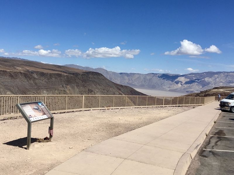
Location. 36° 21.118′ N, 117° 33.064′ W. Marker is in Death Valley National Park, California, in Inyo County. It is on California Route 190 37 miles east of U.S. 395, on the left when traveling east. Located at Father Crowley Overlook. Touch for map. Marker is in this post office area: Darwin CA 93522, United States of America. Touch for directions.

Regionally, this marker is in the Sierra Nevada. It is also in the American Mountain West. Globally, it is in North America, on the Ring of Fire, on the Pacific Rim, in the Western Hemisphere, in the Western World, and in the Anglosphere. Historically, it finds itself in what
Photographed by Craig Baker, March 29, 2022
2. Star Wars Canyon Marker
Other nearby markers. At least 5 other markers are within 11 miles of this marker, measured as the crow flies: Padre Crowley Point (within shouting distance of this marker); Panamint Springs (approx. 4.7 miles away); Darwin (approx. 7.1 miles away); Lookout City (approx. 9.8 miles away); Joshua Tree (approx. 10.9 miles away).
Regarding Star Wars Canyon. The marker includes a spotter’s guide to help visitors identify aircraft as they pass by, but military flights in the canyon are no longer allowed.
Photographed by Craig Baker, March 29, 2022
3. Star Wars Canyon

Photographed by Craig Baker, November 9, 2024
4. Star Wars Canyon
0.9 miles west of the marker, a dirt parking area overlooks Rainbow Canyon.
courtesy NPS
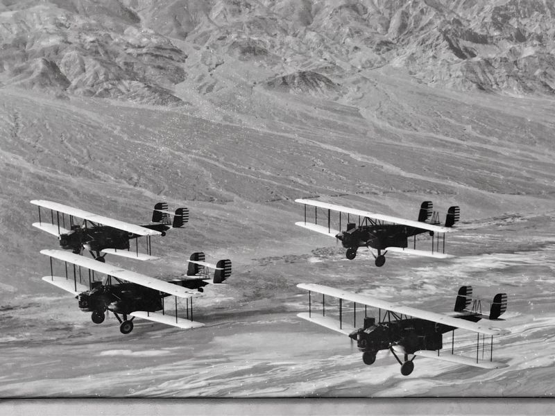
5. Historic Military Aircraft
Training flight near Death Valley.
Credits. This page was last revised on April 28, 2026. It was originally submitted on March 30, 2022, by Craig Baker of Sylmar, California. This page has been viewed 2,298 times since then and 80 times this year. Photos: 1, 2, 3. submitted on March 30, 2022, by Craig Baker of Sylmar, California. 4, 5. submitted on November 9, 2024, by Craig Baker of Sylmar, California.
