Jamestown in James City County, Virginia — The American South (Mid-Atlantic)
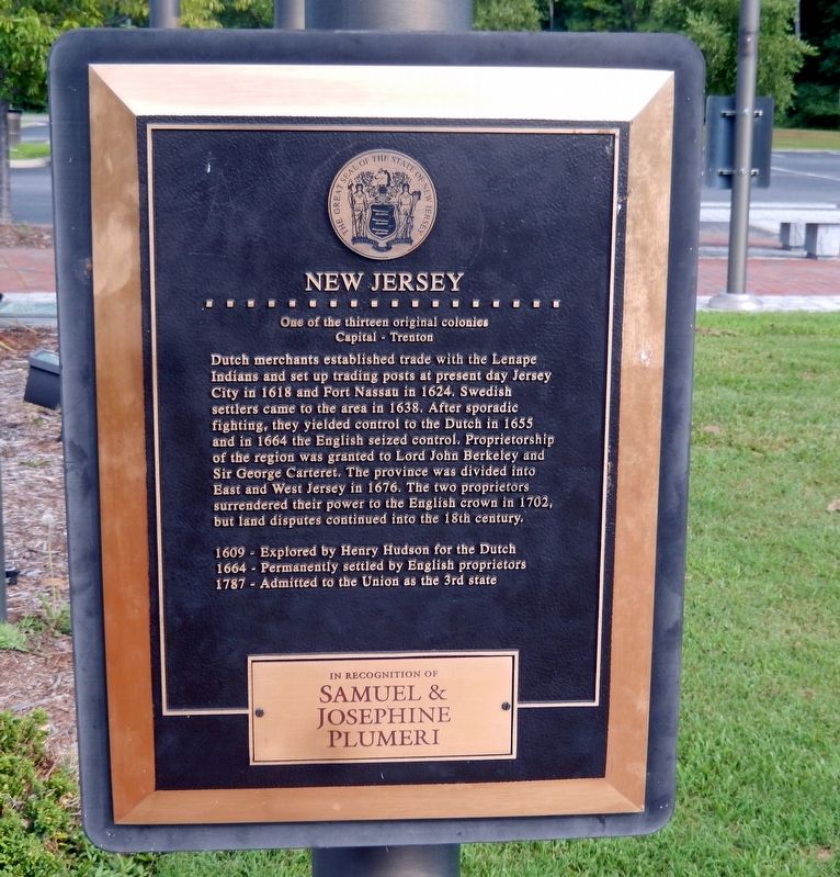
New Jersey
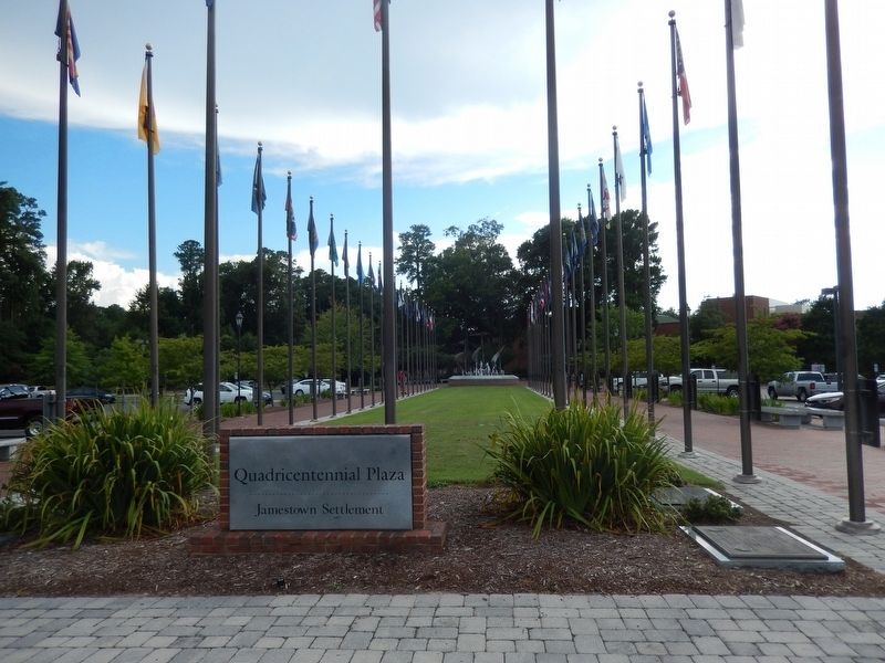
Quadricentennial Plaza
| — | Jamestown Settlement | — |
Photographed by Don Morfe, August 17, 2016
1. New Jersey Marker
Capital-Trenton
Dutch merchants established trade with the Lenape Indians and set up trading posts at present day Jersey City in 1618 and Fort Nassau in 1624. Swedish settlers came to the area in 1638. After sporadic fighting, they yielded control to the Dutch in 1655 and in 1664 the English seized control. Proprietorship of the region was granted to Lord John Berkeley and Sir George Carteret. The province was divided into East and West Jersey in 1676. The two proprietors surrendered their power to the English crown in 1702, but land disputes continued into the 18th century.
1609-Explored by Henry Hudson for the Dutch
1664-Permanently settled by English proprietors
1787-Admitted to the Union as the 3rd state
Topics. This historical marker is listed in these topic lists: Colonial Era • Exploration • Indigenous Peoples and Communities • Settlements & Settlers. A significant historical year for this entry is 1618.
Location. 37° 13.576′ N, 76° 46.958′ W. Marker is in Jamestown, Virginia, in James City County. It is on Jamestown Road. The marker is located near the Jamestown
this page online

Regionally, this marker is on Virginia’s Peninsula, in Coastal Virginia, and in the Hampton Roads Metropolitan Area. It is also in the American South, specifically in the Upper South, in the Tidewater, and on the Eastern Seaboard. Globally, it is in the North Atlantic Region, North America, the Western Hemisphere, the Western World, and the Anglosphere. Historically, it finds itself in what was once the territory of the Mississippian Culture, one of the original Thirteen Colonies, one of the Confederate States of America, and the Antebellum South.
Other nearby markers. At least 8 other markers are within walking distance of this marker: Delaware (here, next to this marker); Pennsylvania (here, next to this marker); Jamestown Settlement (here, next to this marker); First Poles (here, next to this marker); Hawaii (a few steps from this marker); Georgia (a few steps from this marker); Alaska (a few steps from this marker); Arizona (a few steps from
Photographed by Don Morfe, August 17, 2016
2. Quadricentennial Plaza-North
Photographed by Don Morfe, August 17, 2016
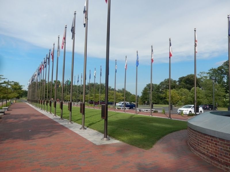
3. Quadricentennial Plaza-South
Photographed by Don Morfe, August 17, 2016
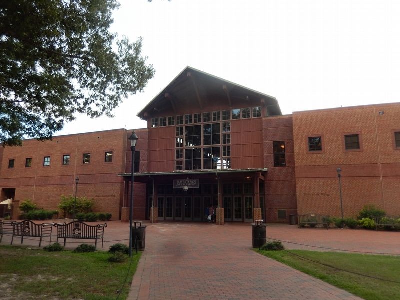
4. Jamestown Settlement Visitor Center
Credits. This page was last revised on April 4, 2022. It was originally submitted on September 15, 2016, by Don Morfe of Baltimore, Maryland. This page has been viewed 546 times since then and 29 times this year. Last updated on March 30, 2022, by Carl Gordon Moore Jr. of North East, Maryland. Photos: 1, 2, 3, 4. submitted on September 15, 2016, by Don Morfe of Baltimore, Maryland. • Bernard Fisher was the editor who published this page.
