
Near Naples in Collier County, Florida — The American South (South Atlantic)
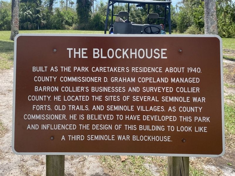
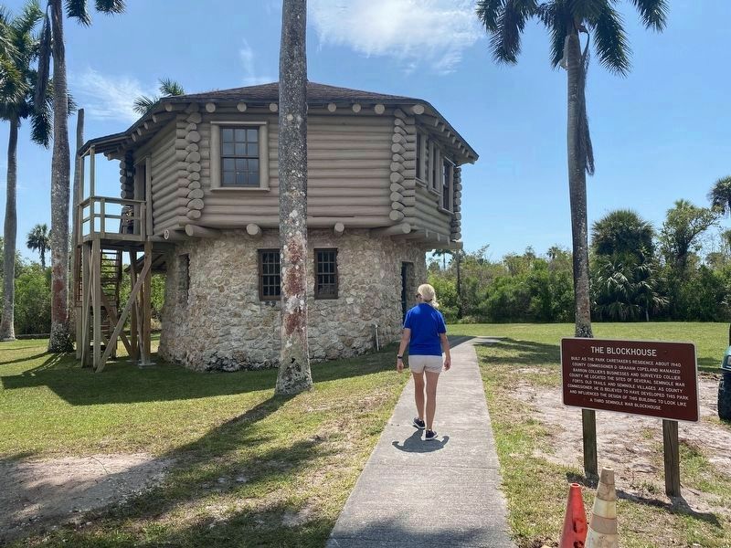
The Blockhouse
Photographed by Steve Stoessel, April 4, 2022
1. The Blockhouse Marker
Topics. This historical marker is listed in these topic lists: Parks & Recreational Areas • Wars, US Indian. A significant historical year for this entry is 1940.
Location. 25° 59.466′ N, 81° 35.729′ W. Marker is near Naples, Florida, in Collier County. It can be reached from Unnamed trail west of Tamiami Trail East (Route 41), on the left when traveling west. Touch for map. Marker is in this post office area: Naples FL 34114, United States of America. Touch for directions.

Regionally, this marker is on Florida’s Gulf Coast. It is also in the American South and on the Gulf Coast. Globally, it is in the North Atlantic Region, North America, a Gulf of Mexico state, the Western Hemisphere, the Western World, and
this page online
Other nearby markers. At least 8 other markers are within 8 miles of this marker, measured as the crow flies: Bay City Walking Dredge No. 489 (about 800 feet away, measured in a direct line); This Bay City Walking Dredge (approx. 0.2 miles away); The Walking Dredge (approx. 0.2 miles away); How the Dredge Walks (approx. 0.2 miles away); Bay City Walking Dredge (approx. 0.2 miles away); Big Cypress Swamp (approx. 0.2 miles away); Goodland Village and Access Road (approx. 5½ miles away); Pineapple Plantation (approx. 7.8 miles away). Touch for a list and map of all markers in Naples.
Photographed by Steve Stoessel, April 4, 2022
2. The Blockhouse and Marker
Credits. This page was last revised on April 19, 2022. It was originally submitted on April 4, 2022, by Steve Stoessel of Niskayuna, New York. This page has been viewed 396 times since then and 52 times this year. Photos: 1, 2. submitted on April 4, 2022, by Steve Stoessel of Niskayuna, New York. • J. Makali Bruton was the editor who published this page.
