Bournedale in Barnstable County, Massachusetts — The American Northeast (New England)
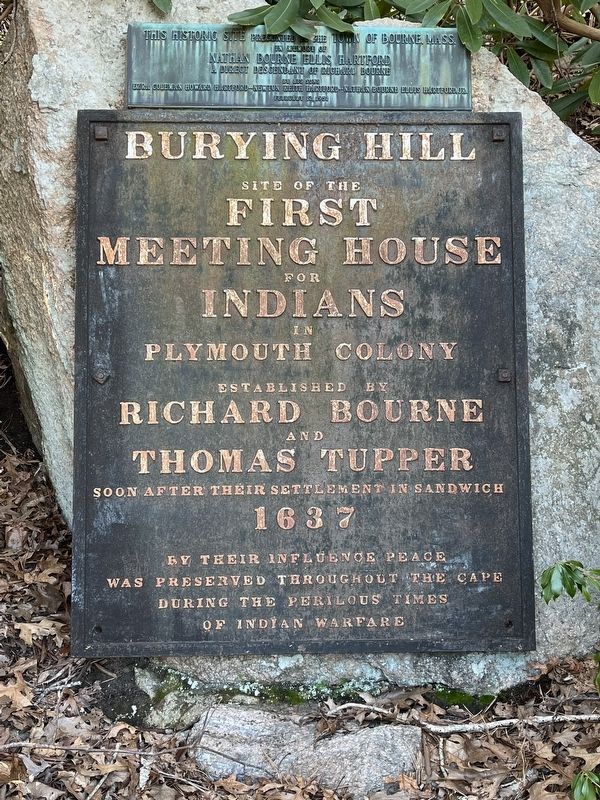
Burying Hill
site of the
First
Meeting House
for
Indians
in
The Plymouth Colony
established by
Richard Bourne
and
Thomas Tupper
soon after their settlement in sandwich
1637
By their influence peace was preserved thoughout the Cape during the perious times of Indian warfare
Topics. This historical marker is listed in these topic lists: Churches & Religion • Colonial Era • Native Americans. A significant historical year for this entry is 1637.
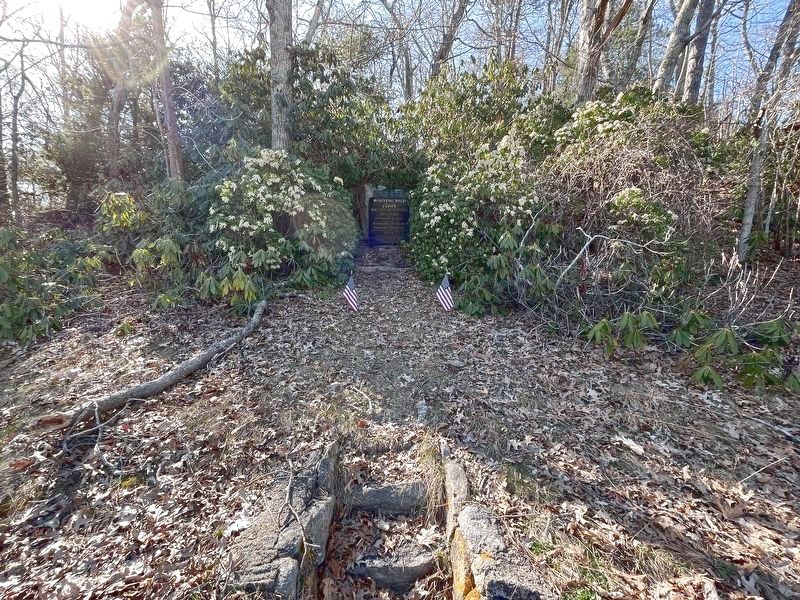
Location. 41° 46.456′ N, 70° 33.666′ W. Marker is in Bournedale, Massachusetts, in Barnstable County. Marker is on Herring Pond Rd south of Bournedale Road (U.S. 6), on the right when traveling south. Touch for map. Marker is in this post office area: Buzzards Bay MA 02532, United States of America. Touch for directions.
Other nearby markers. At least 8 other markers are within 3 miles of this marker, measured as the crow flies. Still on Patrol (about 600 feet away, measured in a direct line); Cape Cod Canal (approx. 0.7 miles away); August Belmont (approx. 0.7 miles away); William Barclay Parsons (approx. 0.7 miles away); Monica Dickens Stratton (approx. 0.7 miles away); a different marker also named The Cape Cod Canal (approx. one mile away); Edmund Freeman Saddle & Pillion Burial Ground (approx. 2.2 miles away); Sagamore Hill Trail (approx. 2.2 miles away).
Credits. This page was last revised on April 10, 2022. It was originally submitted on April 4, 2022, by Ralph Cahoon of Barnstable, Massachusetts. This page has been viewed 291 times since then and 46 times this year. Photos: 1, 2. submitted on April 4, 2022, by Ralph Cahoon of Barnstable, Massachusetts. • Michael Herrick was the editor who published this page.

