Near Ridgecrest in Inyo County, California — The American West (Pacific Coastal)
Fossil Falls
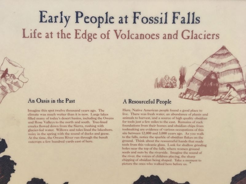
Early People at Fossil Falls - Life at the Edge of Volcanoes and Glaciers
An Oasis in the Past
Imagine this spot twelve thousand years ago. The climate was much wetter than it is now. Large lakes filled many of today's desert basins, including the Owens and Rose Valleys to the north and south. Tree-lined creeks flowed down from the Sierra, rushing with glacier-fed water. Willows and tules lined the lakeshore, noisy in the spring with the sound of ducks and geese. At the time, the Owens River ran through the basalt outcrops a few hundred yards east of here.
A Resourceful People
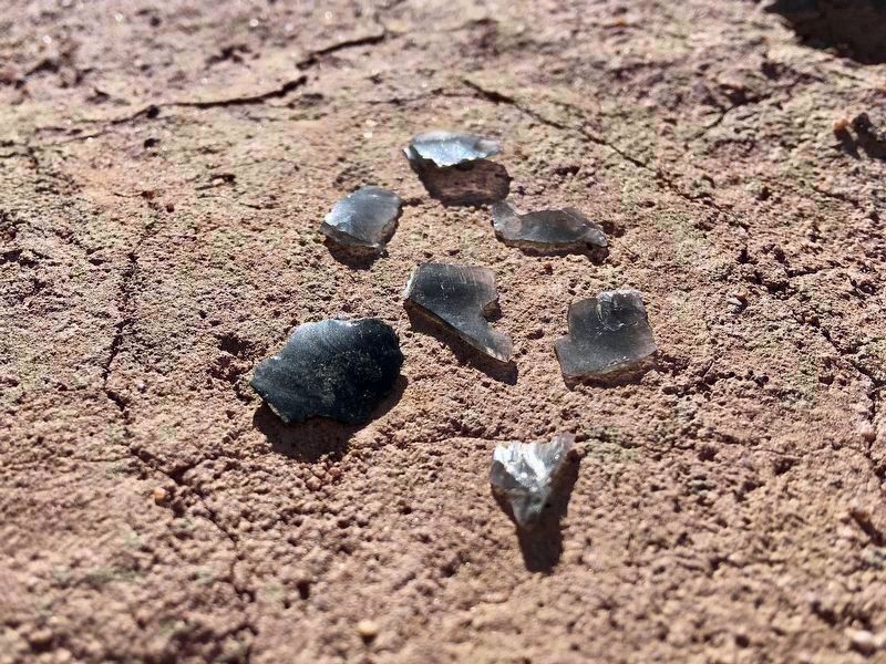
Here, Native American people found a good place to live. There was fresh water, an abundance of plants and animals to harvest, and a source of high quality obsidian for tools just a few miles to the east. Remains of rock foundations from their homes and obsidian chips from toolmaking are evidence of various occupations of this site between 12,000 and 3,000 years ago. As you walk to the falls, notice the sparkle of obsidian flakes on the ground. Think about the resourceful hands that made tools from this volcanic glass. Look for shallow grinding holes near the top of the falls, where women ground seeds and nuts by the riverside. Imagine the sound of the river, the voices of children playing, the sharp chipping of obsidian being shaped. Take a moment to picture the ones who walked here before us.
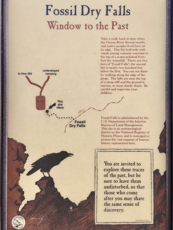
Fossil Dry Falls - Window to the Past
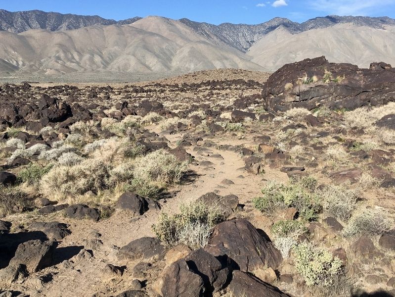
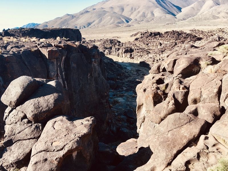
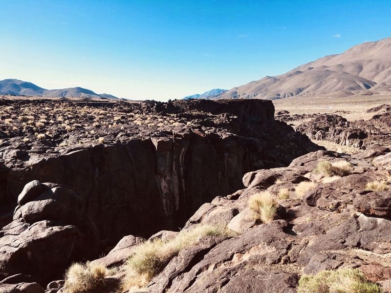
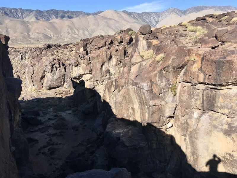
Take a walk back in time when the Owens River flowed nearby and native peoples lived here on its edge. This flat half-mile trail winds among volcanic outcrops to the top of a water-polished forty-foot dry waterfall. There are two tiers of "Fossil Falls"; the second tier is nearly two hundred feet below the first. You can see them by walking along the edge of the gorge. The falls are near the top of a steep cliff and the ground is uneven, so wear sturdy shoes. Be careful and supervise your children.
Fossil Falls is administered by the U.S. Department of the Interior, Bureau of Land Management. This site is an archaeological district on the National Register of Historic Places, and is managed to protect the vast expanse of human history represented here.
You are invited to explore these traces of the past, but be sure to leave them undisturbed, so that those who come after you may share the same sense of discovery.
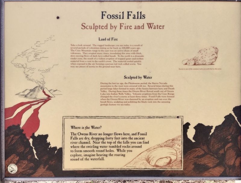
Fossil Falls - Sculpted by Fire and Water
Land of Fire
Take a look around. The rugged landscape you see today is a result of several periods of volcanism dating as far back as 440,000 years ago. The Coso Mountain range to the east was an active chain of small volcanoes. They erupted many times, inundating this area with thick, slow-moving flows of dark lava called basalt. To the north is a dramatic cinder cone, the result of a violent eruption of trapped gases and molten material from a vent in the earth's crust. The material cooled quickly when exposed to the air, forming a porous red rock called scoria. You may see pieces of scoria on the ground near here.
Sculpted by Water
During the last ice age, the Pleistocene period, the Sierra Nevada mountains to the west were covered with ice. Several times during this period large lakes formed in many of the basins between here and Death Valley. During these times the Owens River flowed south out of Owens Lake into Indian Wells Valley. Volcanic eruptions from the Coso Range changed the river's course at least three times. Fossil Falls were formed when the Owens River was dammed by an eruption and ran over the basalt flows, sculpting and polishing the black rock into the amazing geologic feature we see today.
Where is the Water?
The Owens River no longer flows here, and Fossil Falls are dry, dropping forty feet into the ancient river channel. Near the top of the falls you can find where the swirling water tumbled rocks around to form smooth round holes. While you explore, imagine hearing the roaring sound of the waterfall.
Erected by Eastern Sierra Scenic Byway.
Topics. This historical marker is listed in these topic lists: Native Americans • Natural Features.
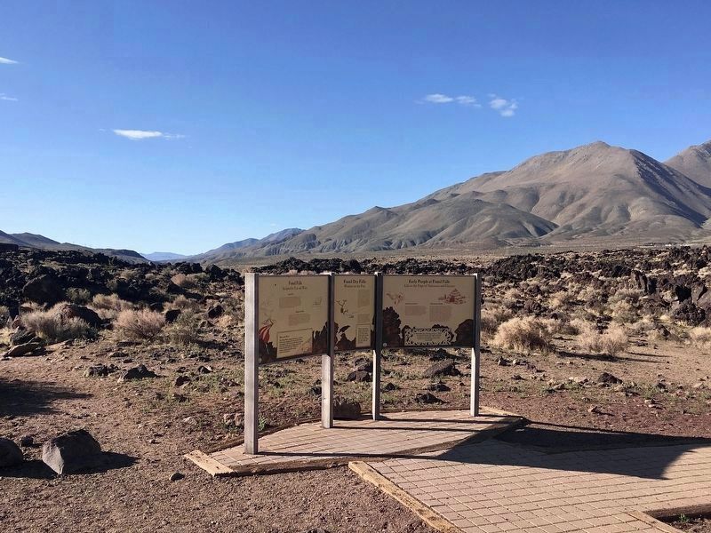
Location. 35° 58.302′ N, 117° 54.639′ W. Marker is near Ridgecrest, California, in Inyo County. Marker can be reached from Fossil Falls Access Road, half a mile south of Cinder Road. Located one mile from US-395, on a graded dirt road. Touch for map. Marker is in this post office area: Little Lake CA 93542, United States of America. Touch for directions.
Other nearby markers. At least 3 other markers are within 6 miles of this marker, measured as the crow flies. Native Americans in the Owens Valley (approx. 1.8 miles away); Listen Well, For This Story Must Be Told (approx. 5.4 miles away); Coso Hot Springs (approx. 5.4 miles away).
Related marker. Click here for another marker that is related to this marker. - Coso petroglyphs, 15 miles east of Fossil Falls.
Credits. This page was last revised on August 1, 2022. It was originally submitted on April 6, 2022, by Craig Baker of Sylmar, California. This page has been viewed 342 times since then and 43 times this year. Photos: 1, 2, 3, 4, 5, 6, 7, 8, 9. submitted on April 6, 2022, by Craig Baker of Sylmar, California.
