West Lafayette in Tippecanoe County, Indiana — The American Midwest (Great Lakes)
Universal Soil Loss Equation
Historic Landmark of Agricultural Engineering
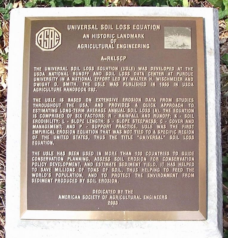
— A=RKLSCP —
The Universal Soil Loss Equation (USLE) was developed at the USDA National Runoff and Soil Loss Data Center at Purdue University in a national effort led by Walter H. Wischmeier and Dwight D. Smith. The USLE was published in 1965 in USDA Agriculture Handbook 282.
The USLE is based on extensive erosion data from studies throughout the USA, and provides a quick approach to estimating long-term average annual soil loss (A). The equation is comprised of six factors: R - rainfall and runoff; K - soil erodibility; L - slope length; S - slope steepness; C - cover and management; and P - support practice. USLE was the first empirical erosion equation that was not tied to a specific region of the United States, thus the title "Universal” soil loss equation.
The USLE has been used in more than 100 countries to guide conservation planning, assess soil erosion for conservation policy development, and estimate sediment yield. It has helped to save millions of tons of soil, thus helping to feed the world's population, and to protect the environment from sediment produced by soil erosion.
Erected 2003 by American Society of Agricultural Engineers.
Topics and series. This historical marker is listed in these topic lists: Agriculture • Science & Medicine. In addition, it is included in the ASAE Historic Landmarks of Agricultural Engineering series list. A significant historical year for this entry is 1965.
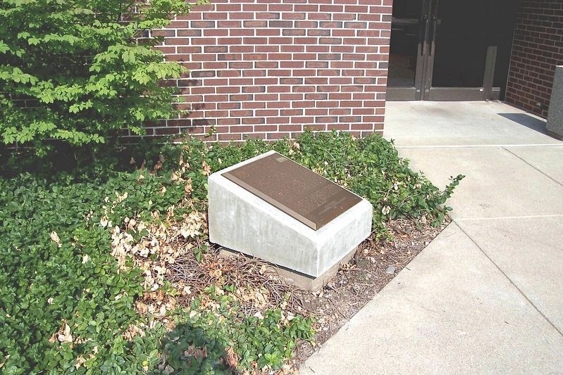
Location. 40° 25.281′ N, 86° 55.186′ W. Marker is in West Lafayette, Indiana, in Tippecanoe County. Marker is on Russell Street north of Harrison Street, on the left when traveling north. Located in front of the National Soil Erosion Lab in Purdue University. Touch for map. Marker is at or near this postal address: 275 S Russell St, West Lafayette IN 47907, United States of America. Touch for directions.
Other nearby markers. At least 8 other markers are within 2 miles of this marker, measured as the crow flies. The Purdue Flagpole (approx. 0.4 miles away); Main Street Bridge (approx. 1.1 miles away); John T. Myers (approx. 1.2 miles away); Iraq War Memorial (approx. 1.2 miles away); Big Four Depot (approx. 1.3 miles away); The Purple Heart Memorial (approx. 1.3 miles away); John Purdue Block (approx. 1.3 miles away); William Henry Harrison Memorial Bridge (approx. 1.3 miles away). Touch for a list and map of all markers in West Lafayette.
Also see . . . Historic Landmarks of Agricultural Engineering. - List of ASAE/ASABE historical markers. (Submitted on April 8, 2022.)
Credits. This page was last revised on April 8, 2022. It was originally submitted on April 8, 2022, by Craig Baker of Sylmar, California. This page has been viewed 170 times since then and 16 times this year. Photos: 1, 2. submitted on April 8, 2022, by Craig Baker of Sylmar, California.

