Upper Sandusky in Wyandot County, Ohio — The American Midwest (Great Lakes)
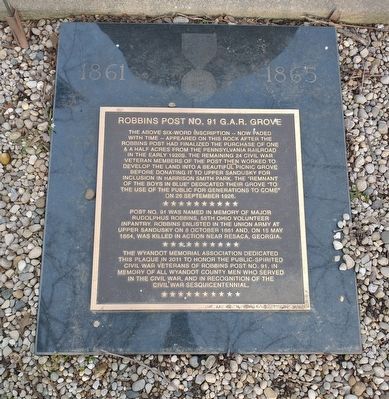
Robbins Post No. 91 G.A.R. Grove
Photographed by Craig Doda, April 2, 2022
1. Robbins Post No. 91 G.A.R. Grove Marker
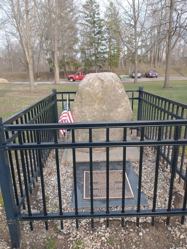
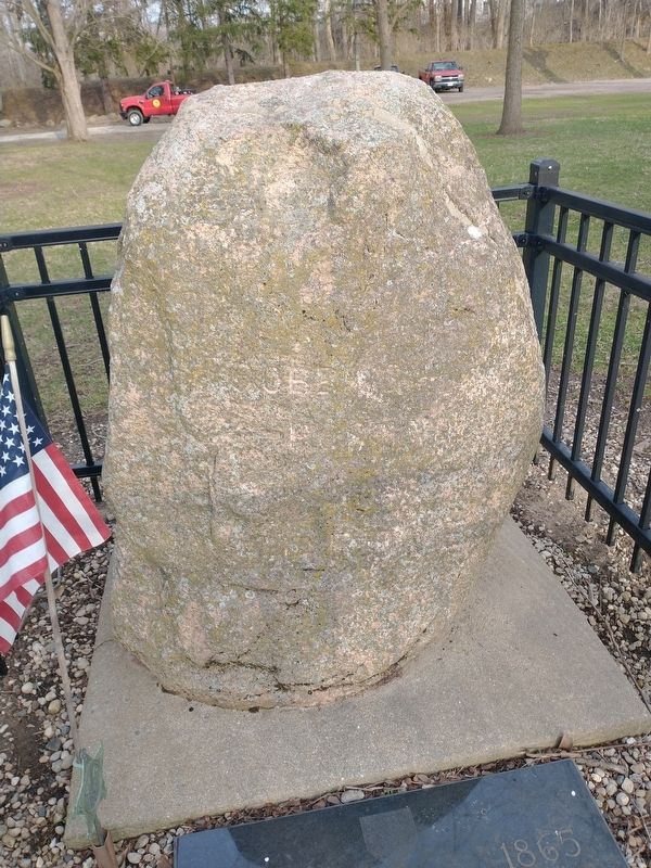
The above six-word inscription -- now faded with time -- appeared on this rock after the Robbins Post had finalized the purchase of one & a half acres from the Pennsylvania Railroad in the early 1920s. The remaining 24 Civil War Veteran members of the post then worked to develop the land into a beautiful picnic grove before donating it to Upper Sandusky for inclusion in Harrison Smith Park. The "remnant of the boys in blue” dedicated their grove "to the use of the public for generations to come" on 26 September 1926.
Post No. 91 was named in memory of Major Rudolphus Robbins, 55th Ohio Volunteer Infantry. Robbins enlisted in the Union Army at Upper Sandusky on 8 October 1861 and, on 15 May 1864, was killed in action near Resaca, Georgia.
The Wyandot Memorial Association dedicated this plaque in 2011 to honor the public-spirited Civil War Veterans of Robbins Post No. 91, in memory of all Wyandot County men who served in the Civil War, and in recognition of the Civil War Sesquicentennial.
Erected 2011 by Wyandot Memorial Association.
Topics. This memorial is listed in these topic lists: Fraternal or Sororal Organizations
this page online
Location. 40° 49.542′ N, 83° 16.389′ W. Memorial is in Upper Sandusky, Ohio, in Wyandot County. It can be reached from East Wyandot Avenue east of North 3rd Street, on the right when traveling east. Located in Harrison Smith Park. Touch for map. Memorial is at or near this postal address: 525 E Wyandot Ave, Upper Sandusky OH 43351, United States of America. Touch for directions.

Regionally, this memorial is in the Till Plains. It is also in the American Midwest and in the Corn Belt. Globally, it is in North America, the Western Hemisphere, the Western World, and the Anglosphere. Historically, it finds itself in what was once the Viceroyalty of New France, the Haudenosaunee (Iroquois) Confederacy, the territory of the Mississippian Culture, and the Northwest Territory.
Other nearby markers. At least 8 other markers are within walking distance of this marker: Harrison Smith Park Veterans Memorial (a few steps from this marker); Co. B 2nd O.V.I. Veterans Memorial (about 300 feet away, measured in a direct line); Wyandot County Veterans Memorial
Photographed by Craig Doda, April 2, 2022
2. Robbins Post No. 91 G.A.R. Grove Marker
Photographed by Craig Doda, April 2, 2022
3. Robbins Post No. 91 G.A.R. Grove Marker
Photographed by Craig Doda, February 26, 2022
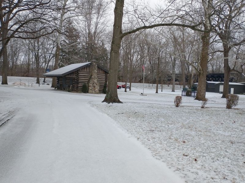
4. Robbins Post No. 91 G.A.R. Grove Marker
Credits. This page was last revised on April 12, 2022. It was originally submitted on April 8, 2022, by Craig Doda of Napoleon, Ohio. This page has been viewed 273 times since then and 16 times this year. Photos: 1, 2, 3, 4. submitted on April 8, 2022, by Craig Doda of Napoleon, Ohio. • Bernard Fisher was the editor who published this page.
