South Bloomingville in Hocking County, Ohio — The American Midwest (Great Lakes)
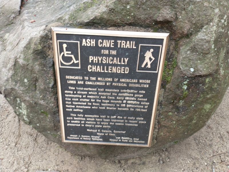
Ash Cave Trail
For The Physically Challenged
— Dedicated to the millions of Americans whose lives are challenged by physical disabilities —
This hard-surfaced trail meanders one-quarter mile along a stream which sculpted the sandstone gorge terminating at majestic Ash Cave. Early settlers named this rock shelter for the huge mounds of campfire ashes that blanketed its floor, testimony to the generations of Native Americans who took Shelter beneath its 700-foot rock ceiling.
This fully accessible trail is just one of many state park facilities which have been improved in recent years to enable all visitors to enjoy the scenic treasures preserved in Ohio's state parks.
Topics. This historical marker is listed in these topic lists: Native Americans • Natural Features • Parks & Recreational Areas • Settlements & Settlers.
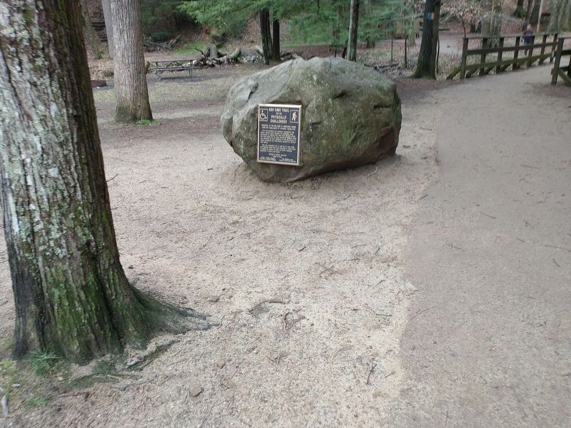
Location. 39° 23.783′ N, 82° 32.738′ W. Marker is in South Bloomingville, Ohio, in Hocking County. Marker is on Ohio Route 56 east of Amerine Road, on the right when traveling west. Touch for map. Marker is in this post office area: South Bloomingville OH 43152, United States of America. Touch for directions.
Other nearby markers. At least 8 other markers are within 3 miles of this marker, measured as the crow flies. Ash Cave (approx. 0.2 miles away); Cedar Falls Bent Bridge (approx. 1.9 miles away); Cedar Falls (approx. 1.9 miles away); Whispering Cave (approx. 1.9 miles away); Old Man’s Cave (approx. 2˝ miles away); Sphinx Head (approx. 2˝ miles away); Our Inspirations (approx. 2˝ miles away); a different marker also named Old Man’s Cave (approx. 2˝ miles away).
Credits. This page was last revised on April 10, 2022. It was originally submitted on April 8, 2022, by Craig Doda of Napoleon, Ohio. This page has been viewed 188 times since then and 11 times this year. Photos: 1, 2. submitted on April 8, 2022, by Craig Doda of Napoleon, Ohio. • Devry Becker Jones was the editor who published this page.

