Framingham in Middlesex County, Massachusetts — The American Northeast (New England)
Thomas Eames
Inscription.
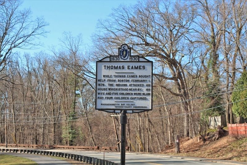
While Thomas Eames sought help from Boston February 1, 1676, the Indians attacked his house which stood nearby. His wife and five children were slain and four children captured.
Erected 1930 by Massachusetts Bay Colony Tercentenary Commission.
Topics. This historical marker is listed in these topic lists: Colonial Era • Native Americans • Settlements & Settlers • War, French and Indian. A significant historical date for this entry is February 1, 1676.
Location. 42° 17.23′ N, 71° 26.037′ W. Marker is in Framingham, Massachusetts, in Middlesex County. Marker is at the intersection of Dudley Road and Mt. Wayte Avenue, on the right when traveling north on Dudley Road. The marker is in Framingham, MA at the corner of Mt. Wayte Ave. and Dudley Rd. Touch for map. Marker is at or near this postal address: 2 Dudley Road, Framingham MA 01702, United States of America. Touch for directions.
Other nearby markers. At least 8 other markers are within 4 miles of this marker, measured as the crow flies. Site of Eames Massacre (about 500 feet away, measured in a direct line); Old Burying Ground Cemetery (approx. ¾ mile away); Gen. Henry Knox Trail (approx. 0.9 miles away); Our Soldiers' Lot (approx. 1.3 miles away); Pike Haven Homestead (approx. 1.8 miles away); Ashland Town Hall (approx. 2.4 miles away); Garden in the Woods (approx. 3.7 miles away); Corporal Harold E. Fay (approx. 3.8 miles away). Touch for a list and map of all markers in Framingham.
More about this marker. This marker was places at this location in 1930 by the Massachusetts Bay Colony Tercentenary Commission. The marker was missing from this location in recent years due to disrepair and road construction at the site. After years in storage, the marker was restored and placed at its original location in 2020.
Credits. This page was last revised on April 10, 2022. It was originally submitted on April 10, 2022, by Stephen St. Denis of Worcester, Massachusetts. This page has been viewed 341 times since then and 51 times this year. Photo 1. submitted on April 10, 2022, by Stephen St. Denis of Worcester, Massachusetts. • Devry Becker Jones was the editor who published this page.
