Westview in Atlanta in Fulton County, Georgia — The American South (South Atlantic)
The Exterior Line
July - August 1864
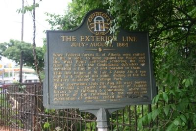
Photographed by Mrs. Sarahlyn Davies Bennett, May 10, 2009
1. The Exterior Line Marker
The marker is south of the ridge where the entrenchments were during the Civil War.
This line began at W. Fair and Ashby Sts. and ran S.W. to & beyond this point, ending at the Ga. Military Academy in College Park.
Siege Operations (July 28-Aug. 25) were barren of results & ceased with transfer of Federal Forces S. to Fairburn & Jonesboro where the seizure of the railroads and consequent evacuation of Atlanta, ended the campaign.
Erected 1958 by Georgia Historical Commission. (Marker Number 060-136.)
Topics and series. This historical marker is listed in this topic list: War, US Civil. In addition, it is included in the Georgia Historical Society series list.
Location. 33° 44.328′ N, 84° 25.988′ W. Marker is in Atlanta, Georgia, in Fulton County. It is in Westview. It is on Ralph David Abernathy (formerly Gordon Road) (Georgia Route 139) near Cascade Avenue ( Route 154), on the right when traveling east. Relocated near its original
this page online

Regionally, this marker is in Georgia’s Piedmont. It is also in the American South and specifically in the Deep South. Globally, it is in North America, the Western Hemisphere, the Western World, and the Anglosphere. Historically, it finds itself in what was once the territory of the Mississippian Culture, one of the original Thirteen Colonies, one of the Confederate States of America, and the Antebellum South.
Other nearby markers. At least 8 other markers are within one mile of this marker, measured as the crow flies: Original Gas Street Light (approx. 0.6 miles away); The Wren’s Nest (approx. 0.6 miles away); a different marker also named Clayton’s Div., Lee’s A.C. (approx. ¾ mile away); God's Acre / Rest Haven (approx. 0.8 miles away); In Memory of Our Comrades (approx. 0.8 miles away); a different marker also named Clayton's Div., Lee's A.C. (approx. 0.9 miles away); Westview Receiving Vault (approx. 0.9 miles away); Battle of Ezra Church
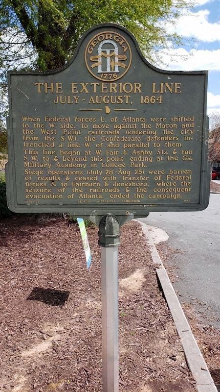
Photographed by J Kosluchar, April 9, 2022
2. The Exterior Line Marker
View to southeast.
Other markers no longer nearby. Clayton's Div., Lee's A.C. (was approx. 0.7 miles away but has been confirmed missing); The Federal Salient (was approx. 0.9 miles away but has been confirmed missing); Site of Ezra Church (was approx. one mile away but has been confirmed missing).
More about this marker. Marker written and submitted by Mr. Wilbur Kurtz, Historian and Artist and member of the Atlanta Historical Society along with Lieutenant Colonel Allen P. Julian, former US Army Historian from Fort McPherson, GA and past President of the Atlanta Historical Society.
Regarding The Exterior Line. South of the ridge site of former Confederate Defenses (now houses built in the 1940-1950's)
Additional keywords. Wilbur Kurtz, Extended defenses to East Point, Battle of Utoy Creek, GA
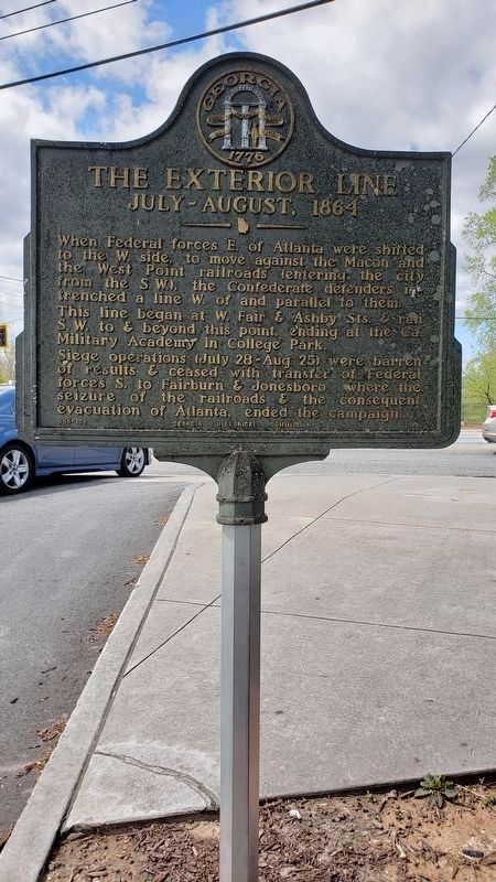
Photographed by J Kosluchar, April 9, 2022
3. The Exterior Line Marker
View to the northwest.
Credits. This page was last revised on February 8, 2023. It was originally submitted on May 10, 2009, by Lieutenant Colonel Perry Bennett, Army Historian of Atlanta, Georgia. This page has been viewed 1,674 times since then and 98 times this year. Last updated on April 10, 2022, by J Kosluchar of Minneapolis, Minnesota. Photos: 1. submitted on May 10, 2009, by Lieutenant Colonel Perry Bennett, Army Historian of Atlanta, Georgia. 2, 3. submitted on April 10, 2022, by J Kosluchar of Minneapolis, Minnesota. • Bernard Fisher was the editor who published this page.
