
Northeast Side in Selma in Bexar County, Texas — The American South (West South Central)
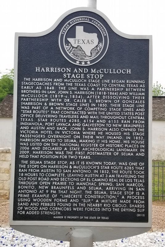
Harrison and McCulloch Stage Stop
Photographed by James Hulse, April 11, 2022
1. Harrison and McCulloch Stage Stop Marker
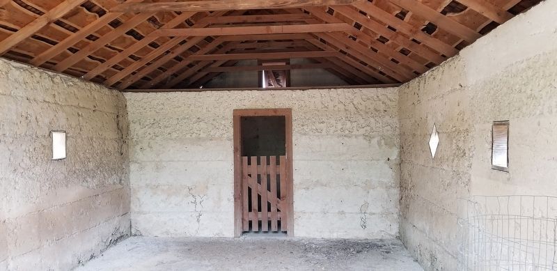
The Selma Stage Stop, as it is known today, was one of the stops on Harrison & McCulloch's Star Route 6285 that ran from Austin to San Antonio. In 1852, the route took 18 hours to complete, leaving Austin at 3 am traveling the Old Post Road and sections of El Camino Real de los Tejas through open prairie to Manchac Spring, San Marcos, Bonito, New Braunfels and Selma, arriving in San Antonio at 9 pm that night. The Selma, stage stop is a prime example of "Limecrete construction," a process using wooden forms and "Slip," a mixture made from sand and pebbles found in the nearby Rio Cibolo. Shards of wood and corncobs were forced into the drying slip for added strength.
Erected 2021 by Texas Historical Commission. (Marker Number 17273.)
Topics. This historical marker is listed
this page online
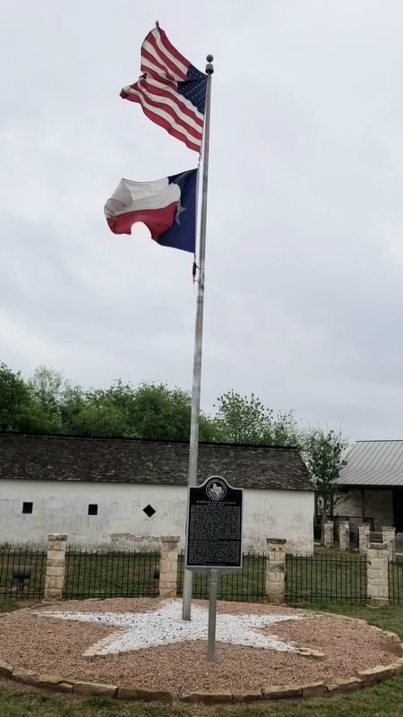
Location. 29° 34.948′ N, 98° 18.339′ W. Marker is in Selma, Texas, in Bexar County. It is in the Northeast Side. It is on Valhalla near North Evans Road, on the left when traveling south. The marker is located northwest of the old stagecoach building on the grounds of the Visitor's Center. Touch for map. Marker is at or near this postal address: 9374 Valhalla, Schertz TX 78154, United States of America. Touch for directions.

Regionally, this marker is in South Texas and in the San Antonio Metropolitan Area. It is also in the American South. Globally, it is in North America, a Gulf of Mexico state, the Western Hemisphere, the Western World, and the Anglosphere. Historically, it finds itself in what was once New Spain, the Republic of Texas, and one of the Confederate States of America.
Other nearby markers. At least 8 other markers are within walking distance of this marker: Selma Stage Stop & Post Office (a few steps from this marker); Harrison and McCulloch Stage Lines
Photographed by James Hulse, April 11, 2022
2. The Harrison and McCulloch Stage Stop and Marker
Also see . . . Harrison & McCulloch Stage Lines.
During the days of the Republic between 1836 and 1846, there were only a few stage lines operating in Texas. Most of the lines were in East Texas and ran along the coastline from Houston to Galveston and down to Indianola and Port Lavaca. John S. Harrison and his brother-in-law, William H. McCulloch, ran their stage lines from the coast to the central part of Texas as far back as the mid-1840s. Source: The Handbook of Texas(Submitted on April 13, 2022, by James Hulse of Medina, Texas.)
Photographed by James Hulse, April 11, 2022
3. The inside view of the Harrison and McCulloch Stage Stop
Photographed by James Hulse, April 11, 2022
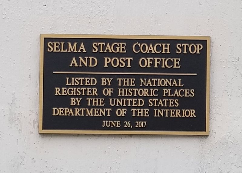
4. The National Register of Historic Places Plaque
Photographed by James Hulse, April 11, 2022
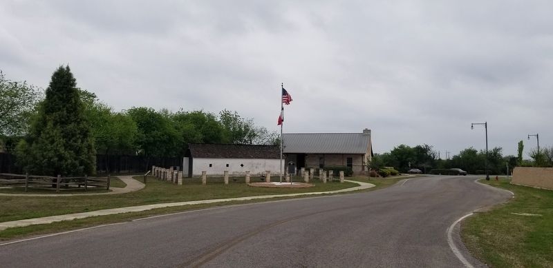
5. The view of the Harrison and McCulloch Stage Stop and Marker from the street
Credits. This page was last revised on February 2, 2023. It was originally submitted on April 13, 2022, by James Hulse of Medina, Texas. This page has been viewed 975 times since then and 84 times this year. Photos: 1, 2, 3, 4, 5. submitted on April 13, 2022, by James Hulse of Medina, Texas.
