Alcatraz Island in San Francisco City and County, California — The American West (Pacific Coastal)
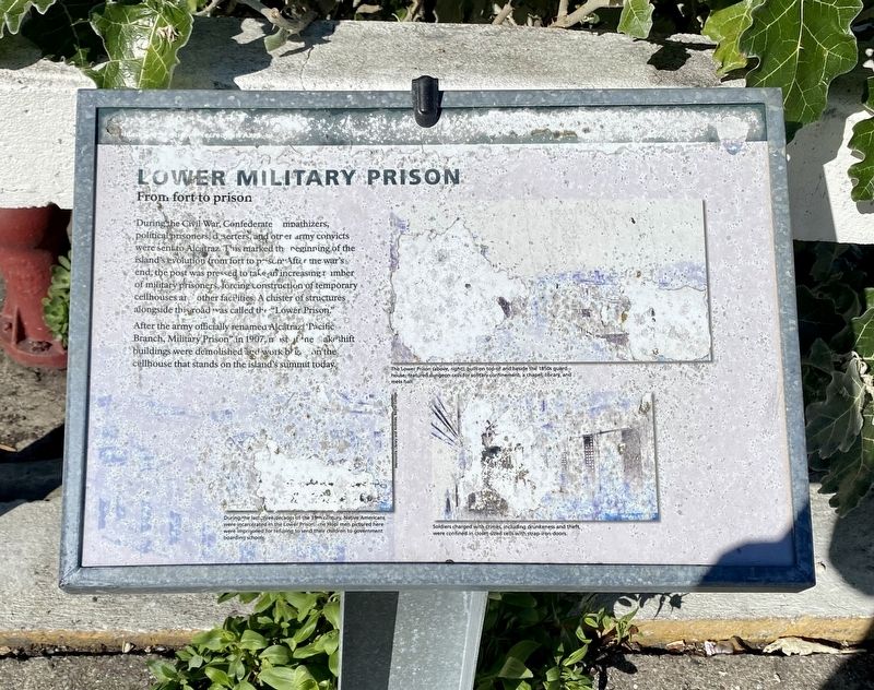
Lower Military Prison
From Fort to Prison
— Golden Gate National Recreation Area —
After the army renamed Alcatraz "Pacific Branch, Military Prison" in 1907, most of the makeshift buildings were demolished and work began on the cellhouse that stands on the island's summit today.
Erected by National Park Service.
Topics. This historical marker is listed in these topic lists: Forts and Castles • Law Enforcement • War, US Civil.
Location. 37° 49.626′ N, 122° 25.344′ W. Marker is in San Francisco, California, in San Francisco City and County. It is on Alcatraz Island. Touch for map. Marker is in this post office area: San Francisco CA 94133, United States of America. Touch for directions.
Other nearby markers. At least 8 other markers are within walking distance of this marker. Indian Occupation 1969-1971 (about 300 feet away, measured in a direct line); Alcatraz Lighthouse (about 300 feet away); Western Gulls (about 300 feet away); Not Just a Water Tower (about 300 feet away); Warden's House (about 300 feet away); The Morgue (about 300 feet away); Officers' Club (about 300 feet away); Persian Carpet (about 400 feet away). Touch for a list and map of all markers in San Francisco.
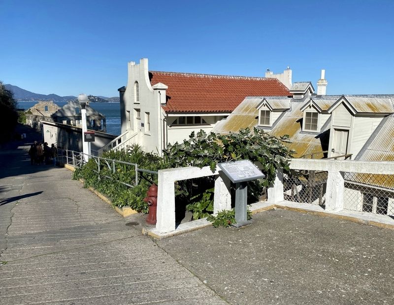
More about this marker. The marker is located on Alcatraz Island, about 2/3 of the way to the top of the uphill stretch leading to the administration building.

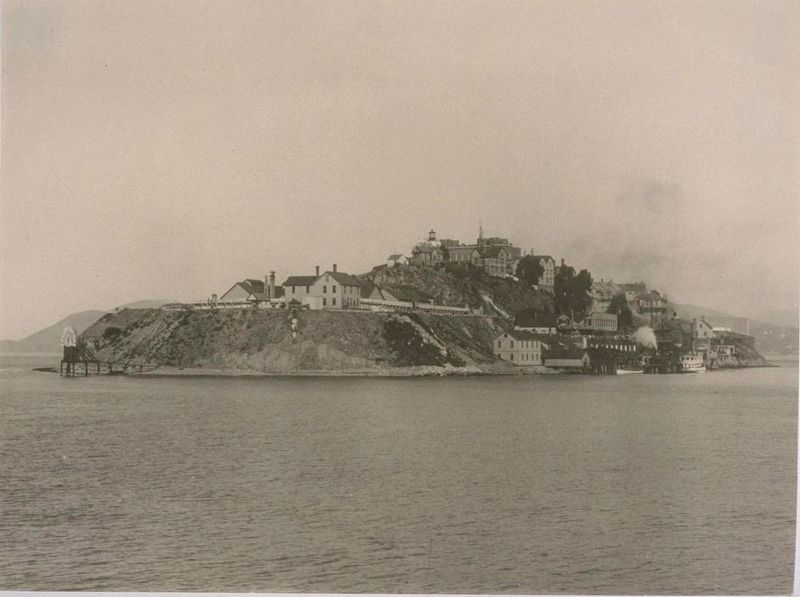
courtesy of the Bancroft Library, University of California at Berkeley
3. Alcatraz Island (prior to being a federal prison).
"Alcatraz Island (prior to being a federal prison). Disciplinary barracks for recalcitrant soldiers, U.S. Military Barracks; lighthouse, top; old fort (originally for protection of harbor at time of Civil War); tide gauge, semicircular ornament, left (south side) of island." - Bancroft Library
Credits. This page was last revised on February 7, 2023. It was originally submitted on April 13, 2022, by Andrew Ruppenstein of Lamorinda, California. This page has been viewed 138 times since then and 14 times this year. Photos: 1, 2, 3. submitted on April 13, 2022, by Andrew Ruppenstein of Lamorinda, California.

