Grand Rapids in Wood County, Ohio — The American Midwest (Great Lakes)
Sugar Maple
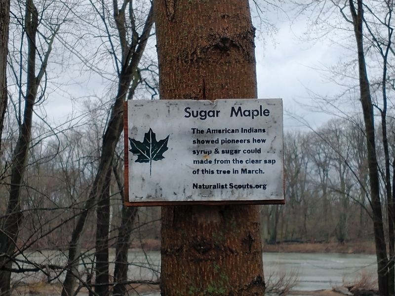
Photographed by Craig Doda, April 13, 2022
1. Sugar Maple Marker
Erected by Naturalist Scouts.org.
Topics. This historical marker is listed in these topic lists: Anthropology & Archaeology • Education • Indigenous Peoples and Communities • Settlements & Settlers.
Location. 41° 24.729′ N, 83° 52.304′ W. Marker is in Grand Rapids, Ohio, in Wood County. It can be reached from Front Street west of West Street, on the right when traveling west. Touch for map. Marker is at or near this postal address: 24365 Carp St, Grand Rapids OH 43522, United States of America. Touch for directions.

Regionally, this marker is in the Black Swamp, in the Till Plains, and in the Toledo Metropolitan Area. It is also in the American Midwest and in the Corn Belt. Globally, it is in North America, on the Great Lakes, in the Western Hemisphere, in the Western World, and in the Anglosphere. Historically, it finds itself in what was once the Haudenosaunee (Iroquois) Confederacy, the territory of the Mississippian Culture,
this page online
Other nearby markers. At least 8 other markers are within walking distance of this marker: Grand Rapids Town Hall (about 600 feet away, measured in a direct line); The Heeter-Russo House (approx. 0.2 miles away); First Presbyterian Church (approx. 0.2 miles away); Thurston Building (approx. 0.2 miles away); The Benjamin F. Kerr House (approx. 0.2 miles away); M. J. Wright Pavillion (approx. ¼ mile away); A Lasting Legacy (approx. ¼ mile away); In Memory Of Julie Pontasch (approx. ¼ mile away). Touch for a list and map of all markers in Grand Rapids.
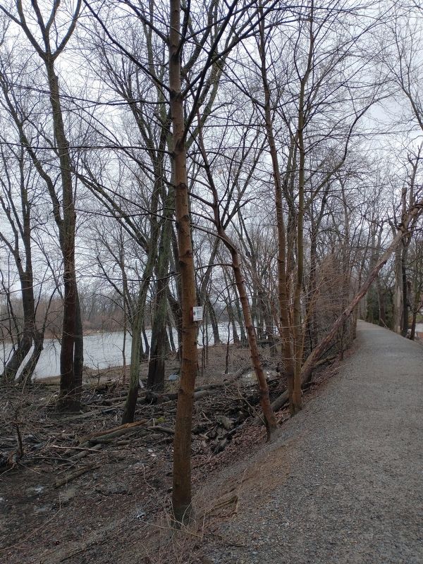
Photographed by Craig Doda, April 13, 2022
2. Sugar Maple Marker
Credits. This page was last revised on April 20, 2022. It was originally submitted on April 14, 2022, by Craig Doda of Napoleon, Ohio. This page has been viewed 320 times since then and 12 times this year. Photos: 1, 2. submitted on April 14, 2022, by Craig Doda of Napoleon, Ohio. • Devry Becker Jones was the editor who published this page.
