Death Valley National Park in Inyo County, California — The American West (Pacific Coastal)
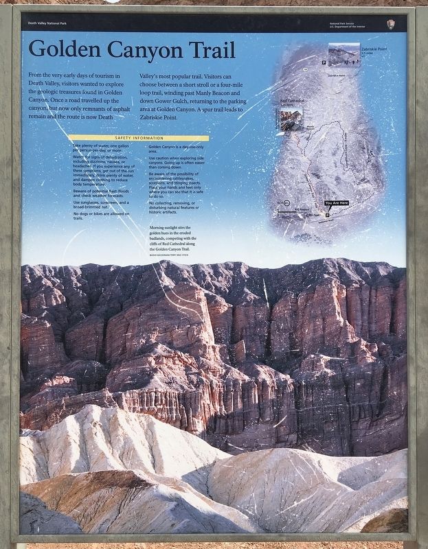
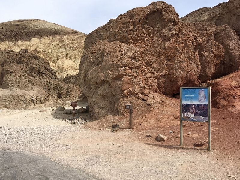
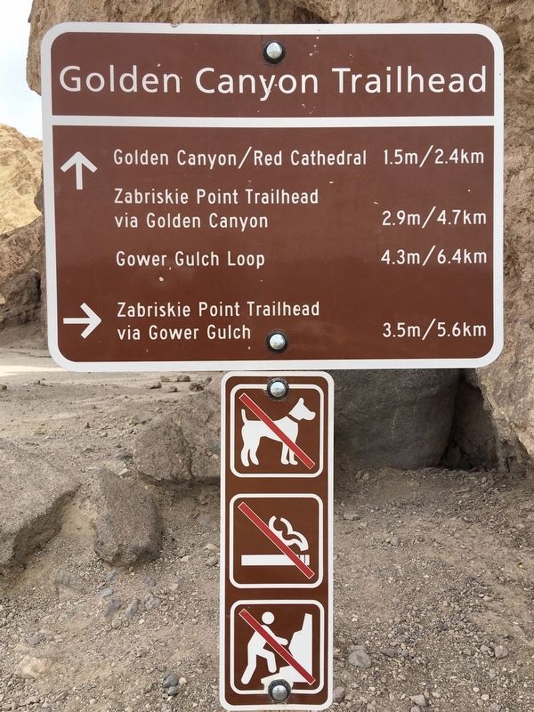
Golden Canyon Trail
Erected by Death Valley National Park.
Topics. This historical marker is listed in these topic lists: Parks & Recreational Areas • Roads & Vehicles.
Location. 36° 25.236′ N, 116° 50.794′ W. Marker is in Death Valley National Park, California, in Inyo County. Marker is on Badwater Road, 2 miles south of California Route 190, on the left when traveling south. Touch for map. Marker is in this post office area: Death Valley CA 92328, United States of America. Touch for directions.
Other nearby markers. At least 8 other markers are within 5 miles of this marker, measured as the crow flies. Zabriskie Point (approx. 1.9 miles away); Death Valley 49ers Gateway (approx. 2 miles away); Furnace Creek Ranch, Death Valley (approx. 2.7 miles away); 20 Mule Team Wagon Train (approx. 2.8 miles away); Old Dinah (approx. 2.8 miles away); Stephen Tyng Mather (approx. 3.1 miles away); Old Harmony Borax Works (approx. 4.3 miles away); Borax (approx. 4.4 miles away). Touch for a list and map of all markers in Death Valley National Park.
Credits. This page was last revised on December 24, 2023. It was originally submitted on April 15, 2022, by Craig Baker of Sylmar, California. This page has been viewed 137 times since then and 20 times this year. Photos: 1, 2, 3. submitted on April 15, 2022, by Craig Baker of Sylmar, California. 4. submitted on April 17, 2022, by Craig Baker of Sylmar, California.


